Tjuorvumkåbbå
Nature reserve
- County: Norrbottens län
- 7578.31 km away from you
Actions
Description
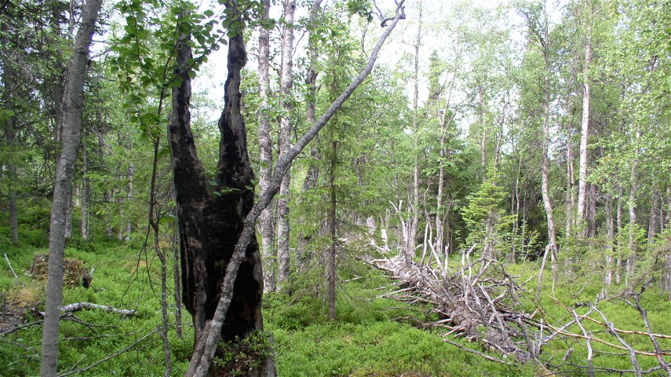
The nature reserve comprises parts of Tjuorvumkåbbå mountain, whose summit reaches about 418 metres a s l. The Spikälven river runs through the northern part of the area. In the forests, there are many traces of past forest fires, a natural occurrence in forest ecology. The area is 4.1 square kilometres in size.
Activities And Facilities
-
Nature reserve
Facts
Municipality: Gällivare
Year formed: 2011
Size: 4.1 square kilometers
Administrator: County Administrative Board
Form of protection: Nature reserve
Communications
From Pålkem drive eastwards towards Vuottas. After about three kilometres turn towards the northwest. Follow the logging road for 10 kilometres. After that a road leads off to the left. The County Administrative Board does not know whether the last stretch is passable by car, but from the road there is a walk of a few kilometres to get to the top of Tjuorvumkåbbå mountain.
Directions
From Pålkem drive east towards Vuottas. After about two miles turn northwest and follow that road for about a mile to then see a road going in to the left. The County Administrative Board does not know if the last bit is passable by car but from that road it is a few kilometers to go up the mountain Tjuorvumkåbbå.
Regulations
All regulations can be found in the reserve decision. It is permitted to: - camp - hike - make a small fire - drive a snowmobile on well snow-covered ground - pick berries and edible mushrooms - fish and hunt in accordance with applicable laws
It is not allowed to litter or damage plant and animal life. Remember the right of public access and protect nature!
Contact
Email address
Länsstyrelsen Norrbotten
Organization logotype

Please be aware that some of these texts have been automatically translated.
Questions & Answers
Ask a question to other Naturkartan users.


