Tjuorvumkåbbå
Naturschutzgebiet
- Landkreis: Norrbottens län
- 7578.31 km von Ihnen entfernt
Aktionen
Beschreibung
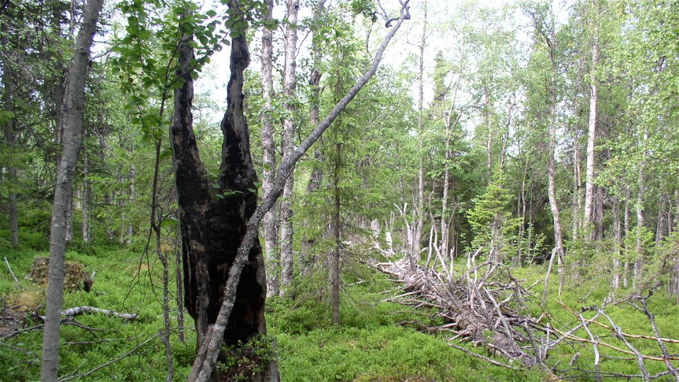
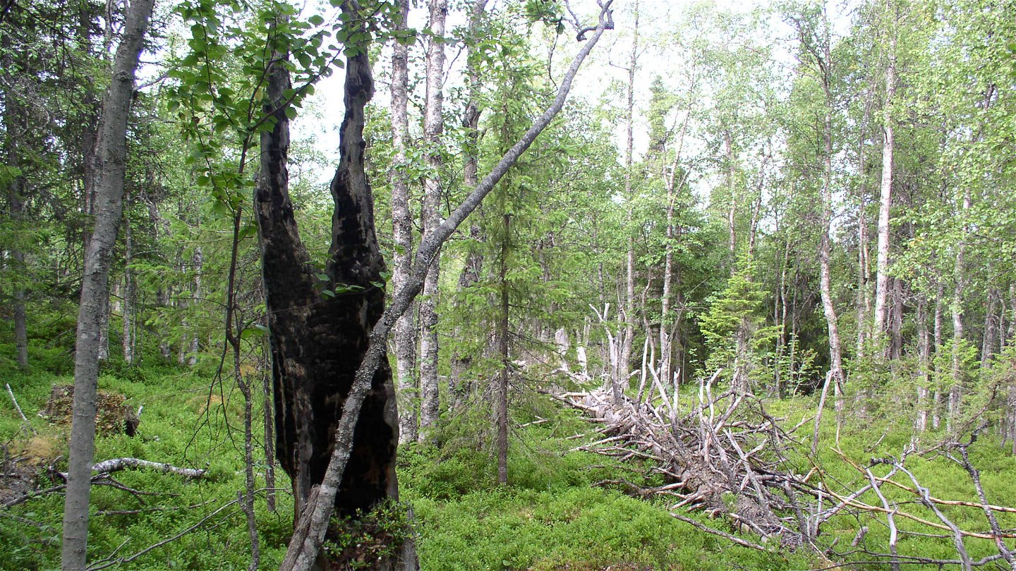
The nature reserve comprises parts of Tjuorvumkåbbå mountain, whose summit reaches about 418 metres a s l. The Spikälven river runs through the northern part of the area. In the forests, there are many traces of past forest fires, a natural occurrence in forest ecology. The area is 4.1 square kilometres in size.
Aktivitäten und Einrichtungen
-
Naturschutzgebiet
Fakten
Municipality: Gällivare
Year formed: 2011
Size: 4.1 square kilometers
Administrator: County Administrative Board
Form of protection: Nature reserve
Kommunikation
From Pålkem drive eastwards towards Vuottas. After about three kilometres turn towards the northwest. Follow the logging road for 10 kilometres. After that a road leads off to the left. The County Administrative Board does not know whether the last stretch is passable by car, but from the road there is a walk of a few kilometres to get to the top of Tjuorvumkåbbå mountain.
Anleitung
From Pålkem drive east towards Vuottas. After about two miles turn northwest and follow that road for about a mile to then see a road going in to the left. The County Administrative Board does not know if the last bit is passable by car but from that road it is a few kilometers to go up the mountain Tjuorvumkåbbå.
Verordnungen
All regulations can be found in the reserve decision. It is permitted to: - camp - hike - make a small fire - drive a snowmobile on well snow-covered ground - pick berries and edible mushrooms - fish and hunt in accordance with applicable laws
It is not allowed to litter or damage plant and animal life. Remember the right of public access and protect nature!
Kontakt
E-Mail-Adresse
Länsstyrelsen Norrbotten
Logotyp der Organisation

Bitte beachten Sie, dass einige dieser Texte automatisch übersetzt worden sind.
Fragen & Antworten
Stellen Sie eine Frage an andere Naturkartan-Nutzer.


