Muorkaape
Nature reserve
- County: Norrbottens län
- 7581.49 km away from you
Actions
Description
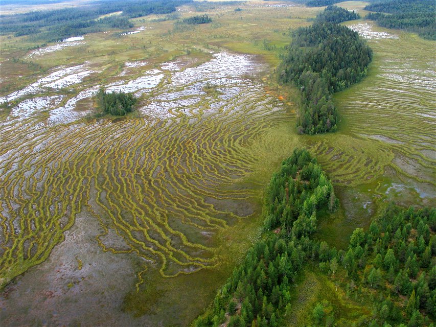
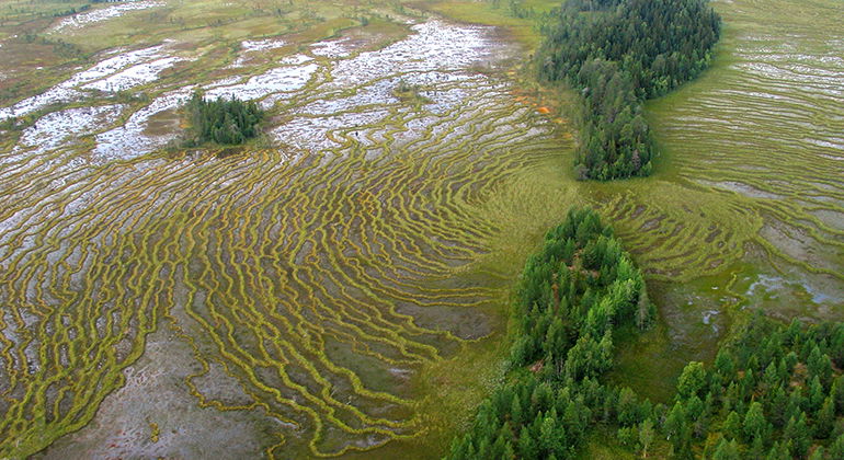
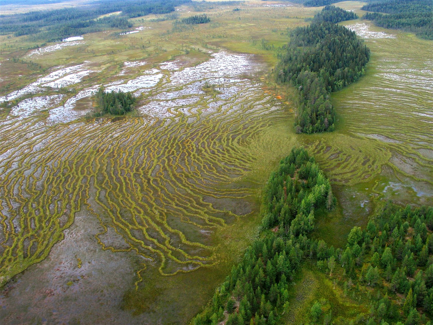
In early summer, the mating calls of waders echo over the wetlands. Several streams run through the mires and virgin forests of Muorkaape and in the eastern part Torisåsen extends, an esker ridge several kilometres in length. The area is 55 square kilometres in size.
Activities And Facilities
-
Nature reserve
Facts
Municipality: Gällivare
Year formed: 2013
Size: 54.8 square kilometers
Administrator: County Administrative Board
Form of protection: Nature reserve
Communications
Muorkaape lies 20 kilometres southeast of Nattavaara and 6 kilometres east of the village of Polcirkeln, in the southern part of Gällivare Municipality. The road between the two villages passes through the reserve.
Directions
Muorkaape is located about 20 kilometers southeast of Nattavaara and about 6 kilometers east of the village of Polcirkeln in the southern part of Gällivare municipality. The road between the two villages passes through the reserve.
Regulations
All regulations can be found in the reserve decision. It is permitted to: - camp - hike - drive snowmobiles on snow-covered ground - make a small fire - pick berries and edible mushrooms - fish and hunt in accordance with applicable laws
Littering or damaging plant and animal life is not permitted. Remember the right of public access and protect nature!
Contact
Email address
Länsstyrelsen Norrbotten
Organization logotype

Please be aware that some of these texts have been automatically translated.
Questions & Answers
Ask a question to other Naturkartan users.


