Muorkaape
Luonnonsuojelualue
- Kunta: Norrbottens län
- 7581.49 km päässä sinusta
Toiminnot
Kuvaus
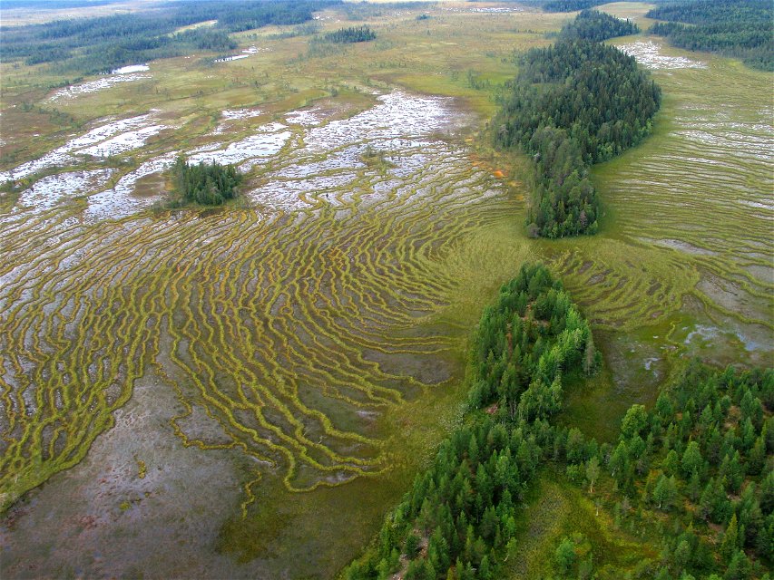
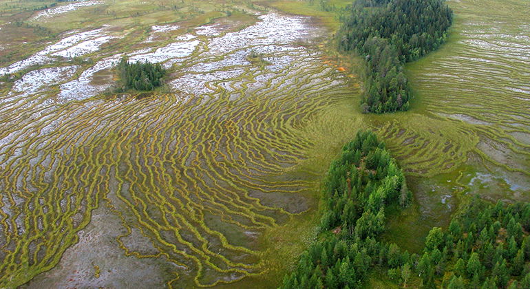
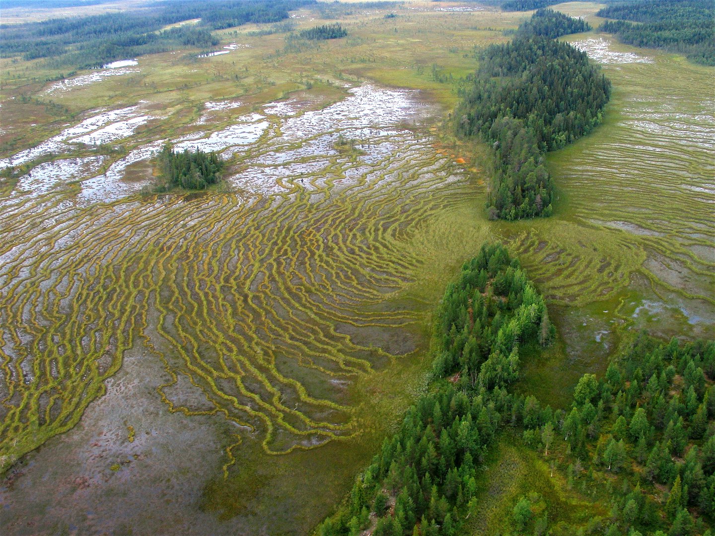
In early summer, the mating calls of waders echo over the wetlands. Several streams run through the mires and virgin forests of Muorkaape and in the eastern part Torisåsen extends, an esker ridge several kilometres in length. The area is 55 square kilometres in size.
Toimintaa ja tilat
-
Luonnonsuojelualue
Faktat
Municipality: Gällivare
Year formed: 2013
Size: 54.8 square kilometers
Administrator: County Administrative Board
Form of protection: Nature reserve
Viestintä
Muorkaape lies 20 kilometres southeast of Nattavaara and 6 kilometres east of the village of Polcirkeln, in the southern part of Gällivare Municipality. The road between the two villages passes through the reserve.
Reittiohjeet
Muorkaape is located about 20 kilometers southeast of Nattavaara and about 6 kilometers east of the village of Polcirkeln in the southern part of Gällivare municipality. The road between the two villages passes through the reserve.
Asetukset
All regulations can be found in the reserve decision. It is permitted to: - camp - hike - drive snowmobiles on snow-covered ground - make a small fire - pick berries and edible mushrooms - fish and hunt in accordance with applicable laws
Littering or damaging plant and animal life is not permitted. Remember the right of public access and protect nature!
Ota yhteyttä
Sähköpostiosoite
Länsstyrelsen Norrbotten
Organisaation logotyyppi

Huomaa, että osa näistä teksteistä on käännetty automaattisesti.
Kysymykset & vastaukset (Q&A)
Esitä kysymys muille Naturkartan-käyttäjille.


