Naturkartan-appen kan behöva uppdateras för vissa användare

Användare av Naturkartans app för Android rapporterar i sommar att appen är seg mm. Vi rekommenderar att man raderar appen helt från sin telefon i så fall och laddar ned igen! Då skall den fungera bättre. Den befintliga appen skall ersättas av en ny app efter sommaren. Den gamla appen laddar all data för hela landet lokalt i appen (för att klara offline-läge) men det innebär att den blir för stor för vissa telefoner - då behöver den raderas och laddas ned igen!

Articles

Huvudstadens Gröna Oas

Utdrag ur Kulturvärden nr 1, 2020, utgiven av Statens fastighetsverk. Text: Maria Uggla. Världens första Nationalstadspark...


About Royal National City Park

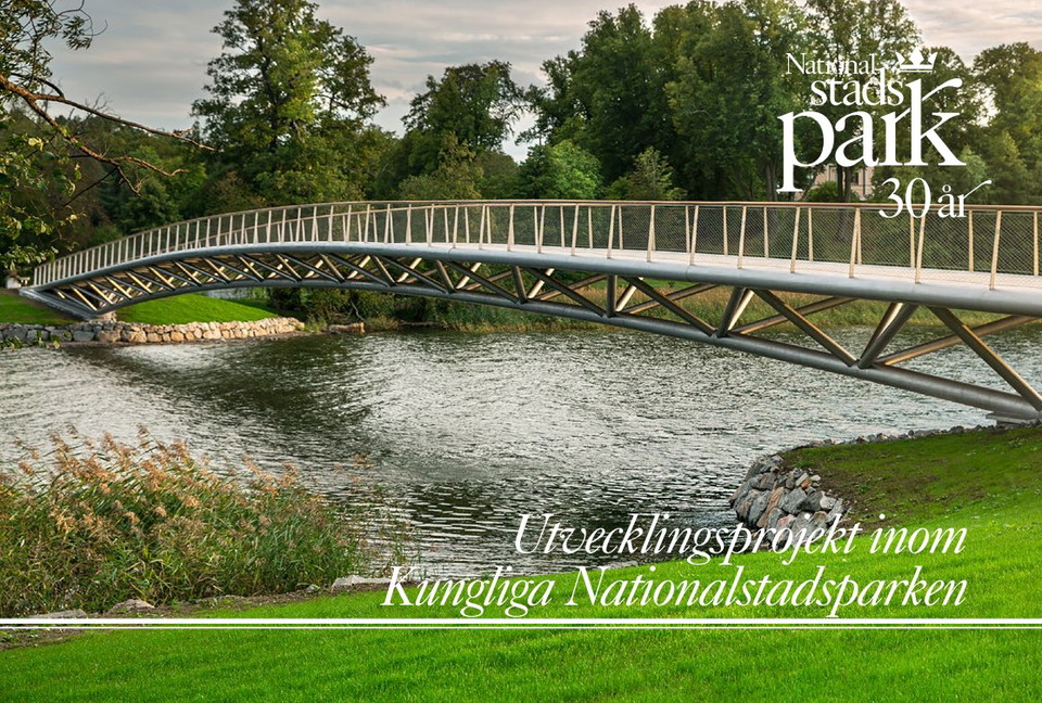
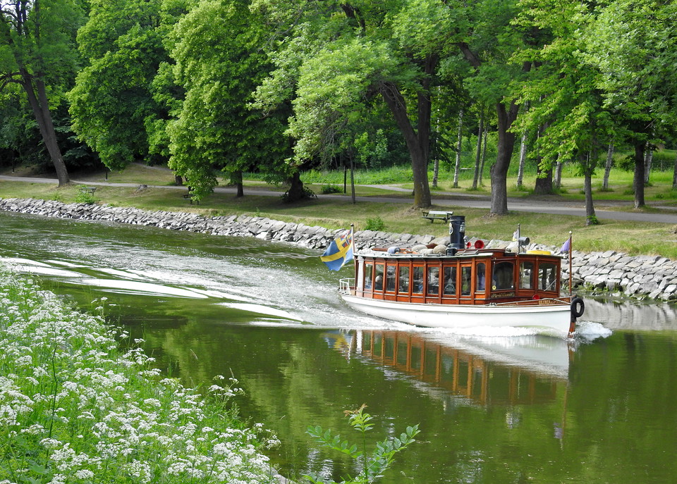
The Royal National City Park is the capital’s green oasis. Only a few steps away from the city center of Stockholm you can experience a unique historic landscape interwoven with parkland, beautiful buildings, woods and forests, open land and beaches.

The park stretches from Sörentorp and Ulriksdal in the north to Djurgården and the Fjäderholm islands in the south. It spans over three municipalities: Solna, Stockholm and Lidingö. Little wonder that this is the most well-visited recreational area in the Stockholm region.

The bike is an excellent mode of transportation when exploring the park. The County Administrative Board of Stockholm has signposted a 36 kilometer long bike route, from Ulriksdal to Blockhusudden.

In this guide we will tell you about some of the many exciting places you might come across along the way. Take one of the routes presented or outline one of your own.

Please visit our website for more information about the www.nationalstadsparken.se

Contacts

Royal National City Park

Naturkartan

Open this in the app