Sävsjö

Best hiking trails in Sävsjö

Naturkartan samlar de vandringslederna i Sävsjö som är populärast bland våra användare.

Map

11 Best hiking trails in Sävsjö

Circular trail

Hiking trail, Kvarnsfallsleden - Hatten

  • Municipality: Sävsjö
  • 6758.18 km away from you
  • 2.8 km

Hatten has something for everyone: hills, ravines, cliffs, flat wetlands, rushing water, and large forests. The reserve is a great destination for those with a little energy to spare. There is a marked trail of 2.5 kilometers, as well as a toilet, fire pit,…

Hiking

Anslutning Sävsjö C - HÖ12/HÖ13

  • Municipality: Sävsjö
  • 1.4 km

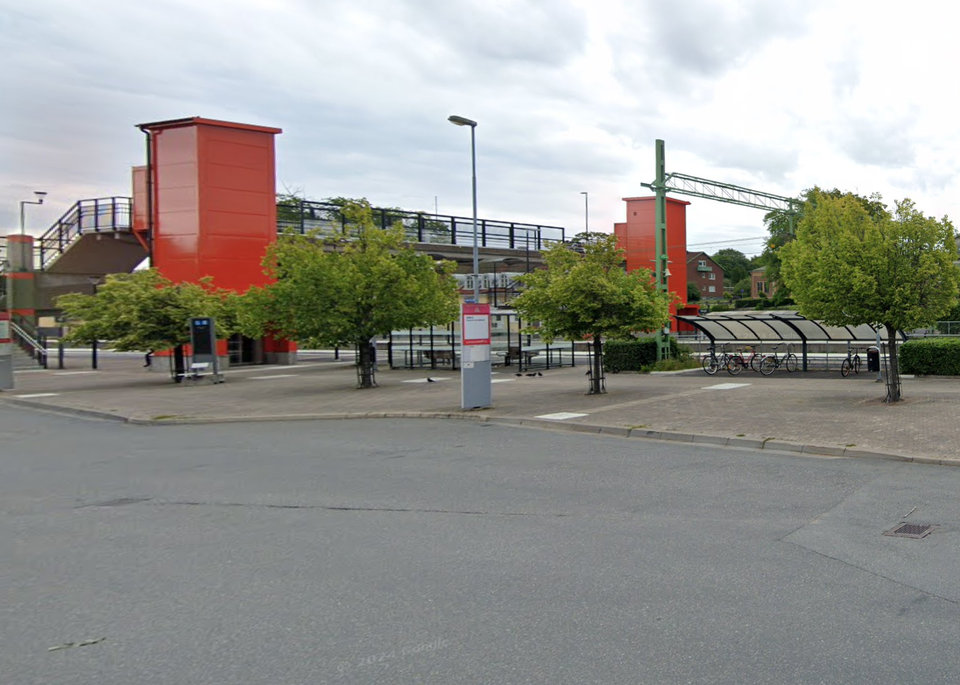
An unmarked detour of 1.4 km (one way) between the main road and Sävsjö station. At the station there is a train and bus connection.

Hiking

Höglandsleden stage HÖ11 Asa - Hultsjö - Part of the Småland trail

  • Municipality: Sävsjö
  • 6781.35 km away from you
  • 25.4 km
  • 380
  • Difficulty: Blue

The stage includes beautiful hiking out with several lakes with the opportunity to spend the night in Vindskydd at Övingens strand. You pass Äpplaryd with several Småland houses embedded in stone walls with the possibility of swimming and fishing, the Bronz…

Hiking

Höglandsleden stage HÖ12 Hultsjö - Sävsjö - Part of the Småland trail

  • Municipality: Sävsjö
  • 6775.94 km away from you
  • 12.3 km
  • 190
  • Difficulty: Blue

The stage includes beautiful hiking in Småland's nature that follows the former road where the Oxen hauled goods up to Sävsjö. On your walk you have the opportunity to stop at Hjärtlanda and Hultsjö with their beautiful 12th century churches, visit ancient…

Hiking

Höglandsleden stage HÖ13 Sävsjö - Forsa - Part of the Småland trail

  • Municipality: Sävsjö
  • 6770.32 km away from you
  • 10.9 km
  • 165
  • Difficulty: Blue

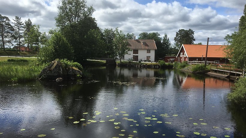
The stage contains several interesting destinations such as the burial ground in Skrapstad with overnight accommodation in wind shelters, the mill culture at the beautiful bathing lake in Forsa all embedded in beautiful Småland nature. The stage is easy to…

Hiking

Bockudden shelter and grill area

  • Municipality: Sävsjö
  • 6776.10 km away from you
  • 0.9 km
  • Difficulty: Green

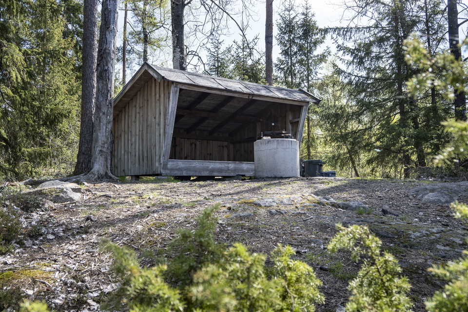
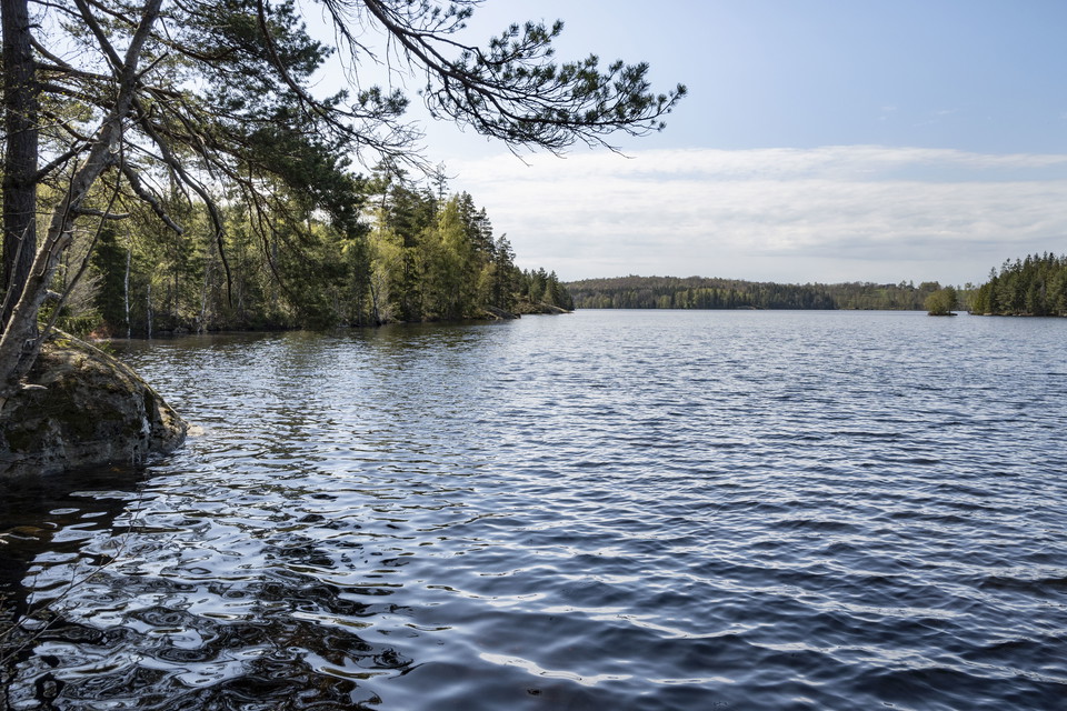
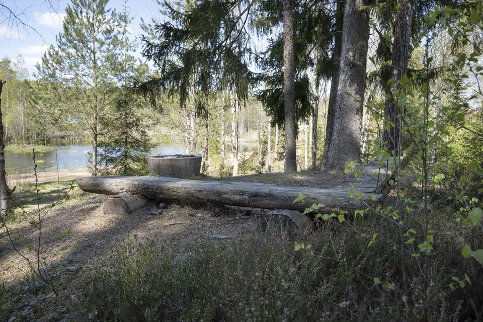
Bockudden is well worth a detour on your hike around Eksjöhovgårdssjön. A small path through the spruce forest leads you to the point where you will find a shelter with space for six people and an open grill area. The small point extends into the lake on th…

Hiking

Sanatorieskogen

  • Municipality: Sävsjö
  • 6773.70 km away from you
  • 1.6 km
  • Difficulty: Green

Central walking area with benches and access to barbecue area.

Circular trail

Eksjöhovgårdsrundan

  • Municipality: Sävsjö
  • 6775.57 km away from you
  • 3.8 km
  • Difficulty: Green

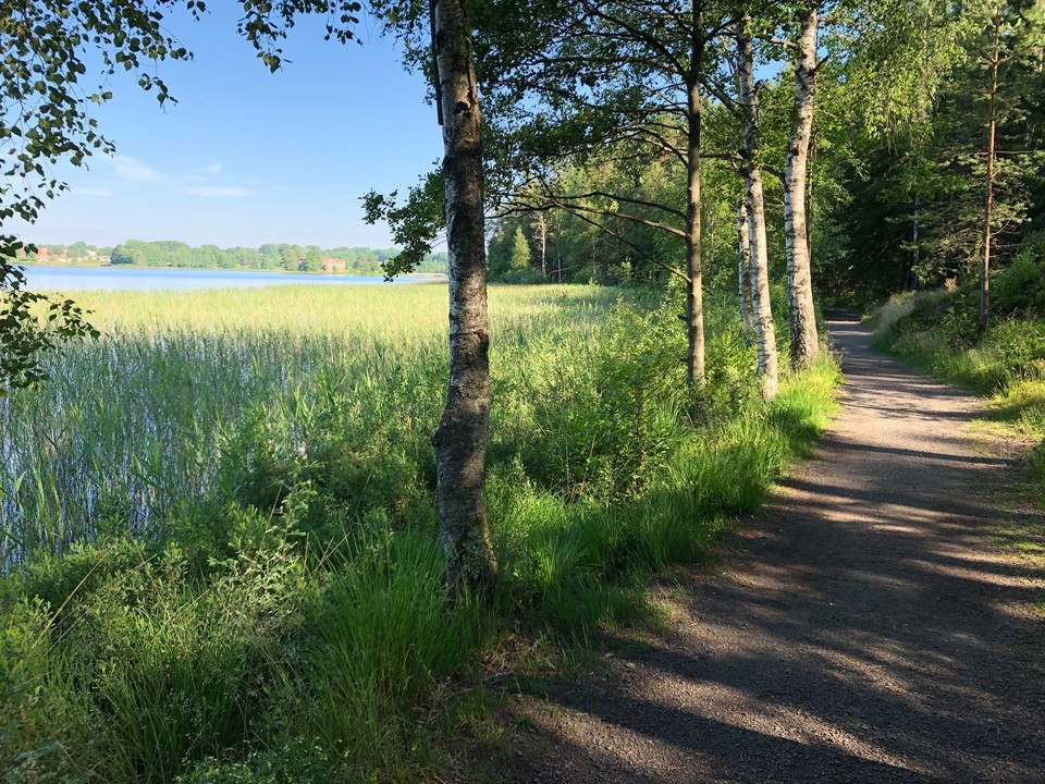
Eksjöhovgårdsrundan is a scenic and popular walking trail that follows the edge of Eksjöhovgårdssjön, on the outskirts of Sävsjö. The trail is 3.8 kilometers long and consists of a wide walking path through forest and land. Close to the trail, on a small is…

Hiking

Djupadalsleden

  • Municipality: Sävsjö
  • 6774.82 km away from you
  • 1.7 km
  • Difficulty: Green

The area consists of various paths, one of which leads you to a Bronze Age tomb and three adjacent hollow ways. On a hill in the area there is also a barbecue area that is open for everyone to use. The ponds of Djupadal attract many birds and are therefore…

Best hiking trails in Sävsjö

Naturkartan samlar de vandringslederna i Sävsjö som är populärast bland våra användare.

Naturkartan

Open this in the app