
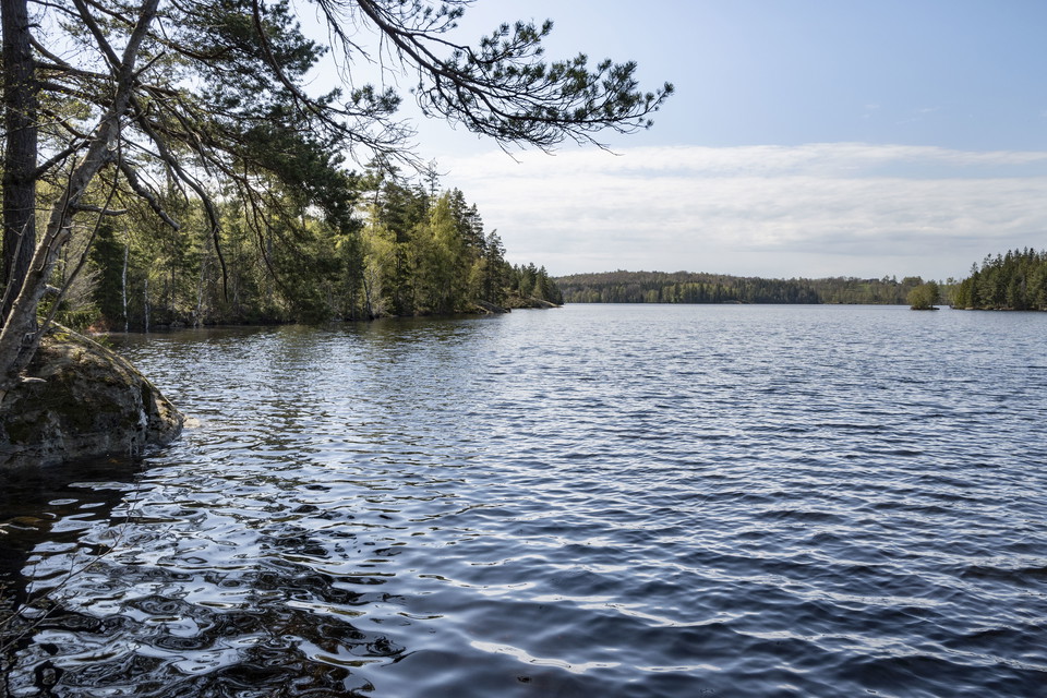
Höglandsleden stage HÖ11 Asa - Hultsjö - Part of the Småland trail
- Hiking
- County: Jönköpings län
- 6781.35 km away from you
Trail details
- Length 25.4 km
- Time 6 h 20 min
- Difficulty Blue - medium
Actions
Description
The stage includes beautiful hiking out with several
lakes with the opportunity to spend the night in Vindskydd at Övingens strand. You pass Äpplaryd with several Småland houses embedded in stone walls with the possibility of swimming and fishing, the Bronze Age cairn Drakarör, and for those interested in history, there is a place sign about the mythical Holger Danske.
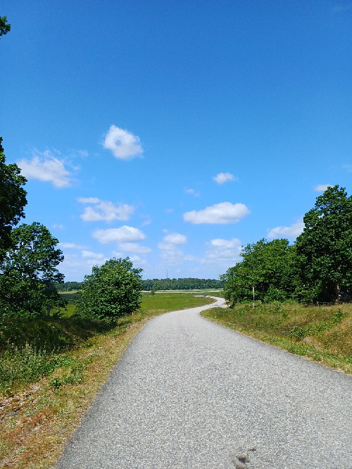
The stage is slightly hilly. The surface consists of mostly path with elements of gravel road, grazing animals may occur, drinking water can be refilled at Asa manor.
Activities And Facilities
- Hiking
Downloads
Contact
Email address
Organization logotype

I’ve been here 1
I want to go here 1

Questions & Answers
Ask a question to other Naturkartan users.
Reviews
0 reviews
- 5 :
- 4 :
- 3 :
- 2 :
- 1 :
Users images
No user images yet. Be the first to share!
