
New!

Now you can share photos on Naturkartan! 📸

Read more

Best hiking trails in Halmstad

Halmstad

Naturkartan samlar de vandringslederna i Halmstad som är populärast bland våra användare.

Images

Map

84 Best hiking trails in Halmstad

Hiking

Prins Bertils Stig

  • Municipality: Halmstad
  • 6712.57 km away from you
  • 20.7 km

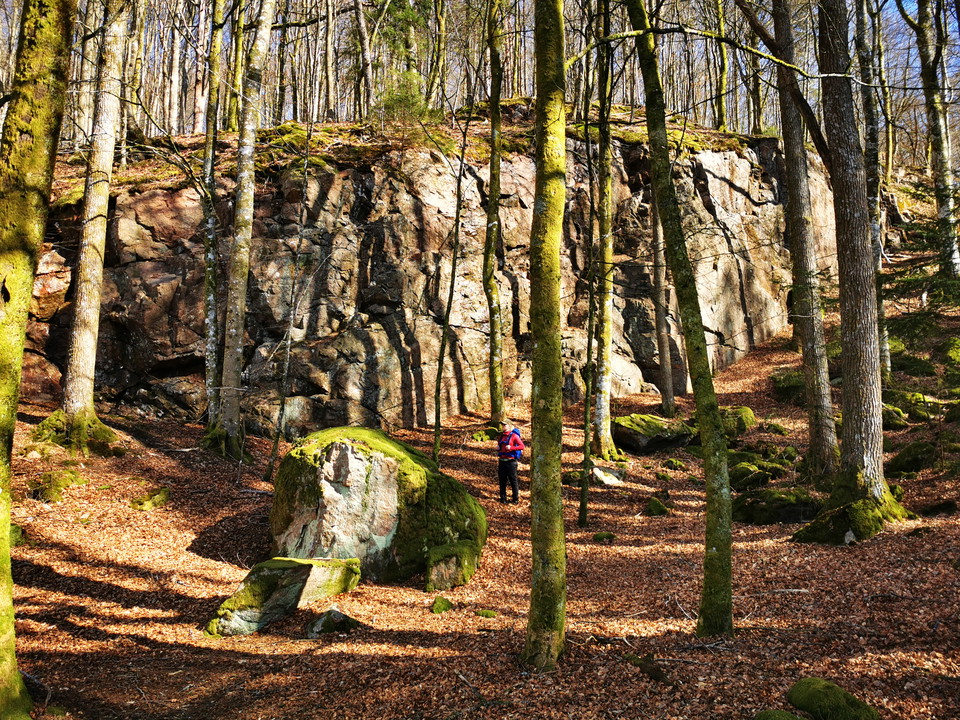
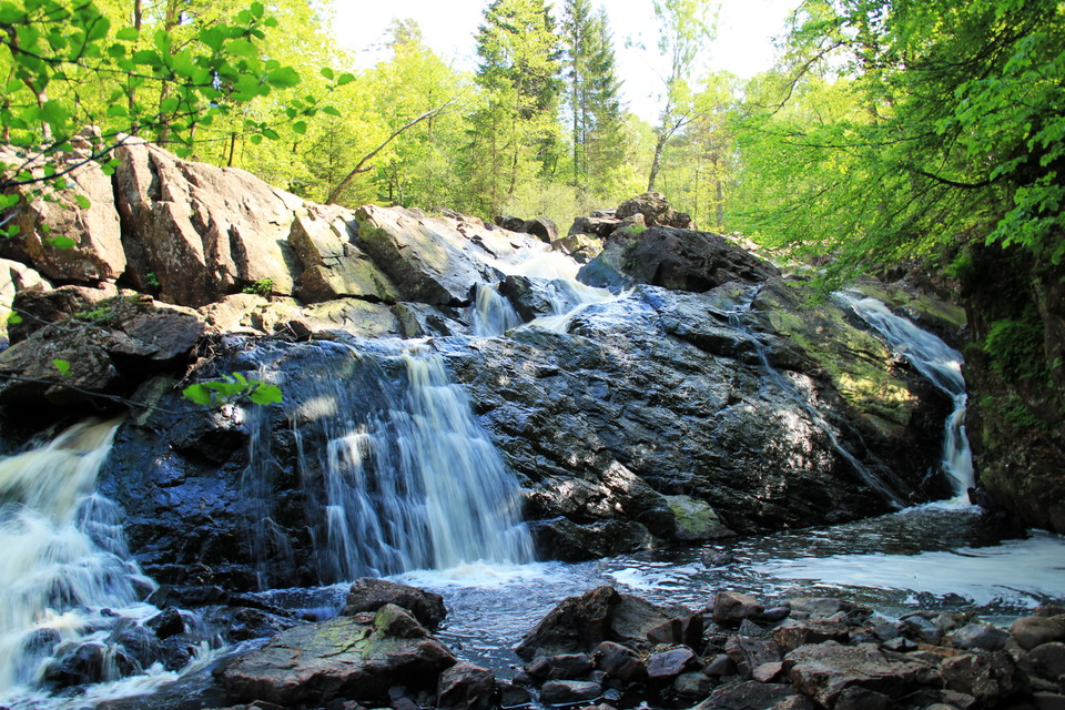
Prince Bertil's Path is perhaps Halmstad's most beautiful hike. An 18 km coastal path that winds along the sea from central Halmstad out to Tylösand and on to lush Möllegård. The trail is named after Prince Bertil, who was Duke of Halland. He spent several…
Hiking

Simlången Runt

  • Municipality: Halmstad
  • 6730.90 km away from you
  • 8.0 km

The eastern side of the trail runs through the nature reserves Bröda and Veka in partly hilly terrain with beautiful beech forests and white sea holly in the spring. In the far north, the trail rounds Mahults Herrgård, which in Fredrik Ström's book Folket i…

Hiking

Gårdshultsleden

  • Municipality: Halmstad
  • 6731.15 km away from you
  • 6.5 km

On this tour you can choose the western or eastern side of Assman and there are also three detours - Brearedssjön runt, Smedhultaleden or Kannestensrundan.

Hiking

Trollsjöstigen - Skedala skog, röd led

  • Municipality: Halmstad
  • 6723.01 km away from you
  • 6.65 km

Trollsjöslingan (red) is a very beautiful and eventful loop, with its 7.9 km it is the longest loop in the area. The loop starts from the western side of the area and is difficult to walk in parts. Get to Skedala forest by bus or cycle along Hylteleden. The…

Hiking

Svaliltrundan - blå led

  • Municipality: Halmstad
  • 6730.70 km away from you
  • 10.0 km

The blue trail goes up towards the beautifully situated village of Svalilt with both meadows and pastures surrounded by stately beech forests. On the way to Svalilt, you first pass Sutarebo and the trail runs along the edge of a very hilly nature reserve wi…

Hiking

Kanebergsstigen - Skedala skog, grön led

  • Municipality: Halmstad
  • 6724.24 km away from you
  • 7.65 km

Kanebergsslingan (green) is the second longest hiking loop in the area. The loop can be perceived as difficult to walk. You walk up towards Kaneberg and then down towards the main parking lot again. Get to Skedala forest by bus or cycle along Hylteleden. Th…

Hiking

Fylleåleden

  • Municipality: Halmstad
  • 6721.81 km away from you
  • 8.4 km

Hike along the Fylle River in a scenic environment. The trail runs all the way from Fyllebro to Hagön Nature Reserve and is about 8 km long. It is mostly graveled but some goes through pastures, where openable gates make it possible to pass. Trail markers a…

Hiking

Smedhultaleden

  • Municipality: Halmstad
  • 6731.95 km away from you
  • 3.8 km

In Gårdshult Nature Reserve you can find Smedhultaleden. Along this you will find, among other things, Halmstad hill, which is a viewpoint towards Halmstad where you can see the water tower in Söndrum on a clear day. In the western part of the reserve is Hö…

Hiking

Maredsleden blå slingan

  • Municipality: Halmstad
  • 6715.13 km away from you
  • 5.5 km

The Mared trails in Oskarström offer lush views and landscapes and take you close to the beautiful nature of Halland.

Hiking

Brearedssjön Runt

  • Municipality: Halmstad
  • 6730.08 km away from you
  • 4.2 km

Here the hiking trail goes around Lake Brearedsjön, on one side in beautiful beech forest and on the other along the disused railway, the Bolmenbanan. You pass the old ironworks Jöransfors on your way.

Hiking

Gyltige - Simlångsdalen, Hallandsleden

  • Municipality: Halmstad
  • 6730.02 km away from you
  • 7.9 km

The stage runs mostly on the embankment of the former Bolmenbanan railway. It runs in a rift valley with four elongated lakes; Gyltigesjön, Töddesjön, Simlången and Brearedssjön. The Fylleån river flows through the lakes on its way to the sea. In the commun…

Hiking

Strettelienslingan 3 km

  • Municipality: Halmstad
  • 6712.70 km away from you
  • 2.9 km

A varied walk that initially follows Skötselslingan. You will pass a storm-ravaged area left behind after Hurricane Gudrun in 2005, walk through a nice newt biotope and finally come up to Fästampaåsen, where there is a viewpoint to sit and enjoy the views.…

Hiking

Röskeborundan - grön led

  • Municipality: Halmstad
  • 6730.22 km away from you
  • 11.3 km

Walk along pebble ridges and flat areas on paths towards the nature around Bårared and Rösekbo, which has been used as farmland for many generations. If you are lucky, you may see cranes, wild geese and other game.

Hiking

Ulfnässtigen - Skedala skog, blå led

  • Municipality: Halmstad
  • 6725.03 km away from you
  • 4.2 km

Ulfnässtigen (blue) runs from Torvsjön out to the easternmost parts of Skedala forest and then back to Torvsjön. The trail is about 5.7 km long and moderately difficult. Get to Skedala forest by bus or cycle along Hylteleden. There are also parking lots in…

Best hiking trails in Halmstad

Naturkartan samlar de vandringslederna i Halmstad som är populärast bland våra användare.

Naturkartan

Open this in the app