
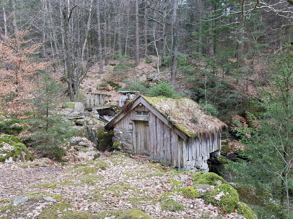
Svaliltrundan - blå led
- Hiking
- Trail running
- County: Hallands län
- 6730.70 km away from you
Trail details
- Length 10.0 km
Actions
Description
Activities And Facilities
- Hiking
- Trail running
Contact
Email address
Halmstad direkt
Organization logotype
Please be aware that some of these texts have been automatically translated.
I’ve been here 8



I want to go here 14

Reviews
4.3
1 review
- 5 :
- 4 :
- 3 :
- 2 :
- 1 :
Questions & Answers
Ask a question to other Naturkartan users.
Users images
Share your photos of the place!

Bra runda med mycket fin natur.
Men den blå markeringen för ledens sträckning är dålig på flera ställen, speciellt på första delen från Gyltige mot Örnås. Man måste vara uppmärksam när stigar och vägar delar sig.