Rävemåla route
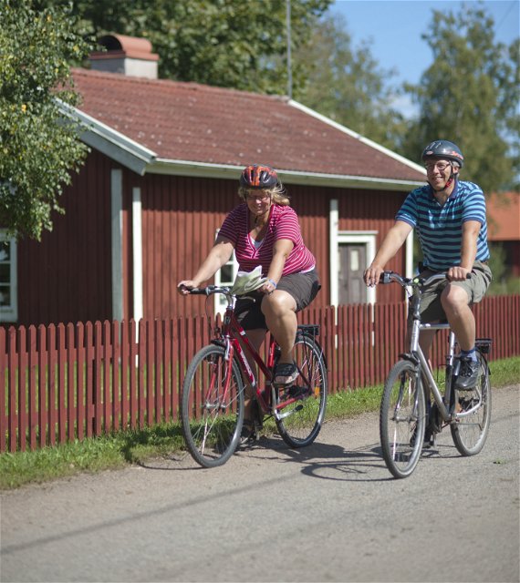
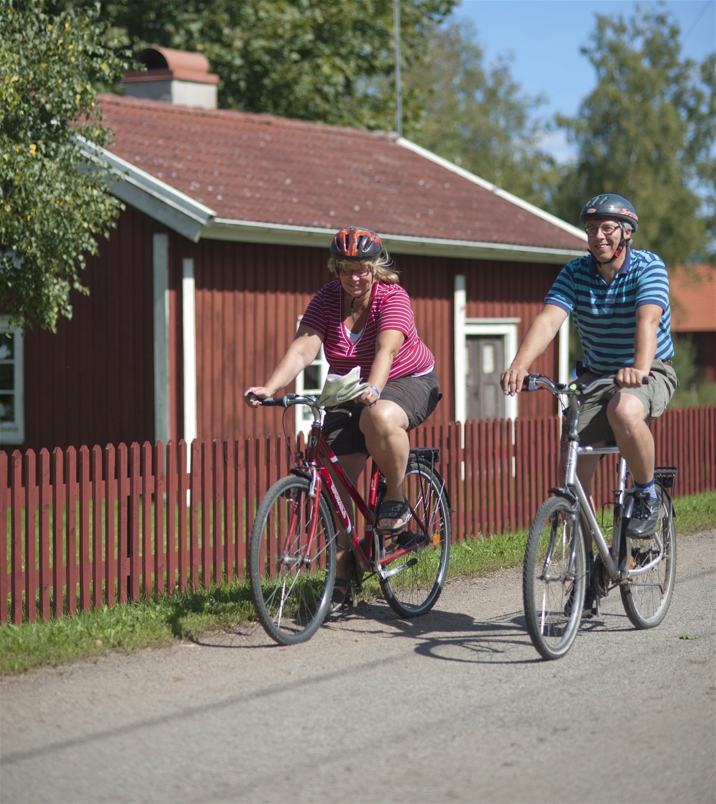
Biking
- County: Kronobergs län
- 6427.05 km away from you
Trail details
- Length 29.0 km
Actions
Description
Road description
Preferably start by Älmeboda hembygdspark, Rävemåla. In this local history museum you find well conserved building with many interesting environments, for example an old doctors practice. Furthermore you find a part of the old railway track and waggons from the NAEJ railway: Nättraby–Alnaryd–Elmeboda Järnväg, also called Krösnabanan. Follow Ekvägen and Gamla vägen through the village and cross road 122 towards Persmålavägen. At road 120 turn left, after a short while right towards Kavsjömåla, close to lake Kvesen. In Yxnanäs you can visit the local museum in the old school and an ancient cottage on the other side of road 122. Here you will even find a stone cist and a standing memorial stone. Take a detour to Djupasjöns bathing place. Turn right at the sign towards Fösingsmpla–Åskefälla–Abrahamshult–Flisehult. In Flisehult you can take a detour to the stone age settlement Klostergrottan. Follow the sign for Klostergrottan and after that the signs of "Utvandrarleden" until you reach the cave. On the way to Kållebo you will pass Sofielund. The Danish Brigade had a camp here during World War 2. On the right side you will soon spot Kulagölen, a put-and-take lake. A fishing license is necessary here! Follow the signs towards Yxnanäs and then turn left towards Botamåla. Continue your way and shortly after Makrismåla, look out for Tummastenen. It is located on the right side of the road and marked. Try moving the stone with your thumb! Cross road 120 and you are back at the local museum. The tour is on smaller asphalt roads.
Activities And Facilities
-
Biking
Surface
The tour is on smaller asphalt roads.
Downloads
Contact
Email address
Tingsryds Turistinformation
Questions & Answers
Ask a question to other Naturkartan users.


