
-
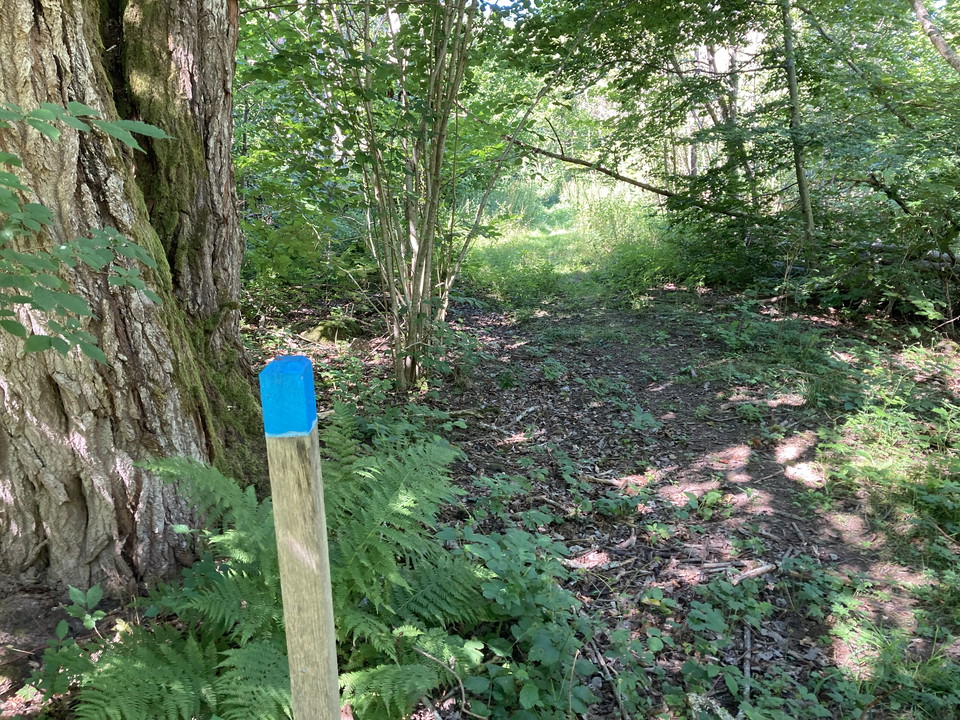
Foto: Tingsryds kommun -
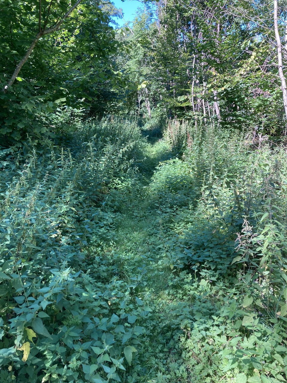
Foto: Tingsryds kommun -
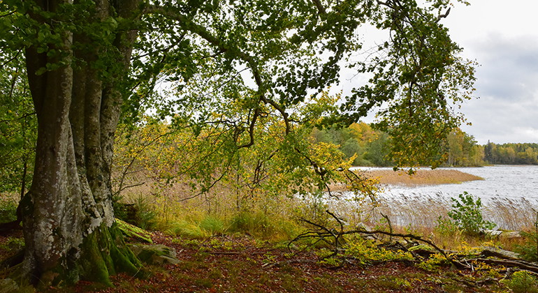
Foto: Länsstyrelsen i Kronobergs län -
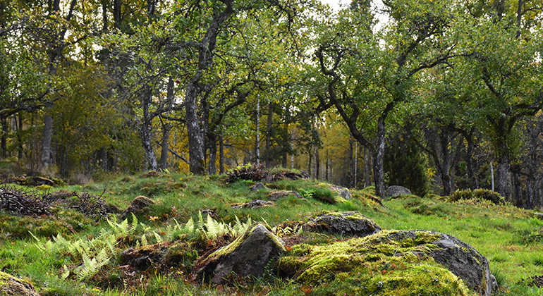
Foto: Länsstyrelsen i Kronobergs län
Walking trail - Hackekvarn nature reserve (blue)
- Hiking
- County: Kronobergs län
- 6826.33 km away from you
Trail details
- Length 0.3 km
- Difficulty Green - simple
Actions
Description
A small hiking trail down to the water. You get here by parking the car at "P" on the map or if you walk all the way up from Hackekvarn, at the passage over Mörrumsån. (Length: 300 meters for the path in the map, from the croft down to the lake). The path is lined with high grass in the summer.
Hackekvarn is located northwest of Urshult at Lake Åsnen's outlet in Havbältesfjorden. The reserve is 203 hectares in size and has been protected since 2012. The reserve contains several red-listed species of lichens, plants and fungi. The area has several cultural-historical remains and on Kungsholmen (Slottsholmen) there are remains of the ancient castle "Hacke slot" from the 14th century.
Length: 300 meters
Trail markings in terrain: blue
Activities And Facilities
- Hiking
Contact
Email address
I’ve been here 1

I want to go here 2

Questions & Answers
Ask a question to other Naturkartan users.
Reviews
0 reviews
- 5 :
- 4 :
- 3 :
- 2 :
- 1 :
Users images
No user images yet. Be the first to share!
