
-
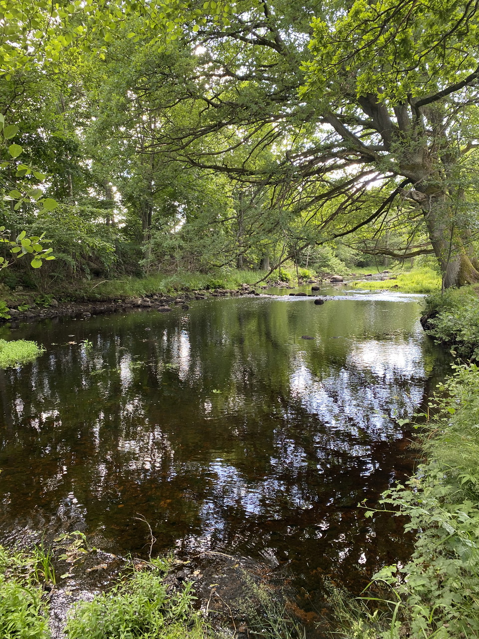
Ljungbyån
Photo: Lina Jakobsson -
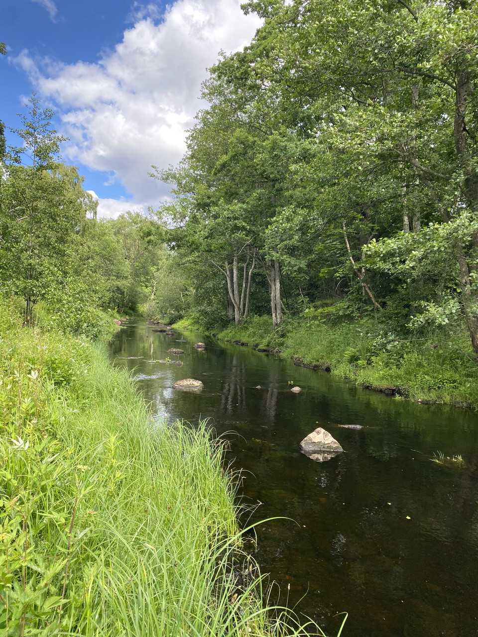
Ljungbyån
Photo: Lina Jakobsson -
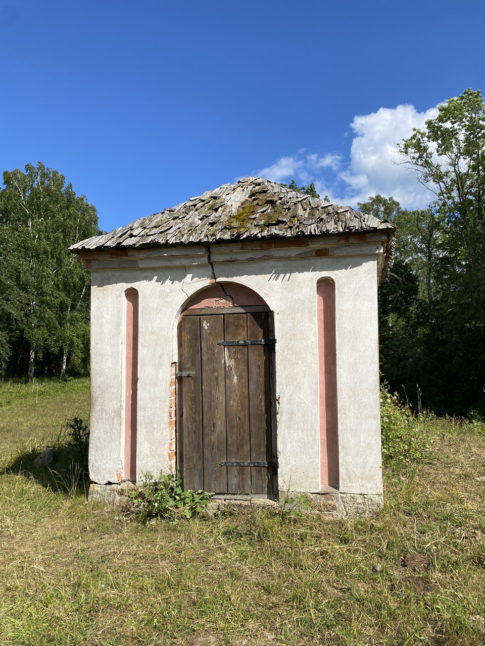
Hälsokällan
Photo: Lina Jakobsson -
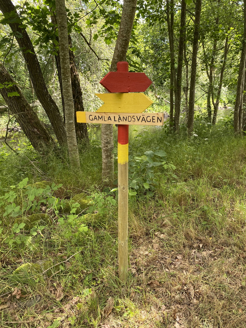
Photo: Lina Jakobsson -
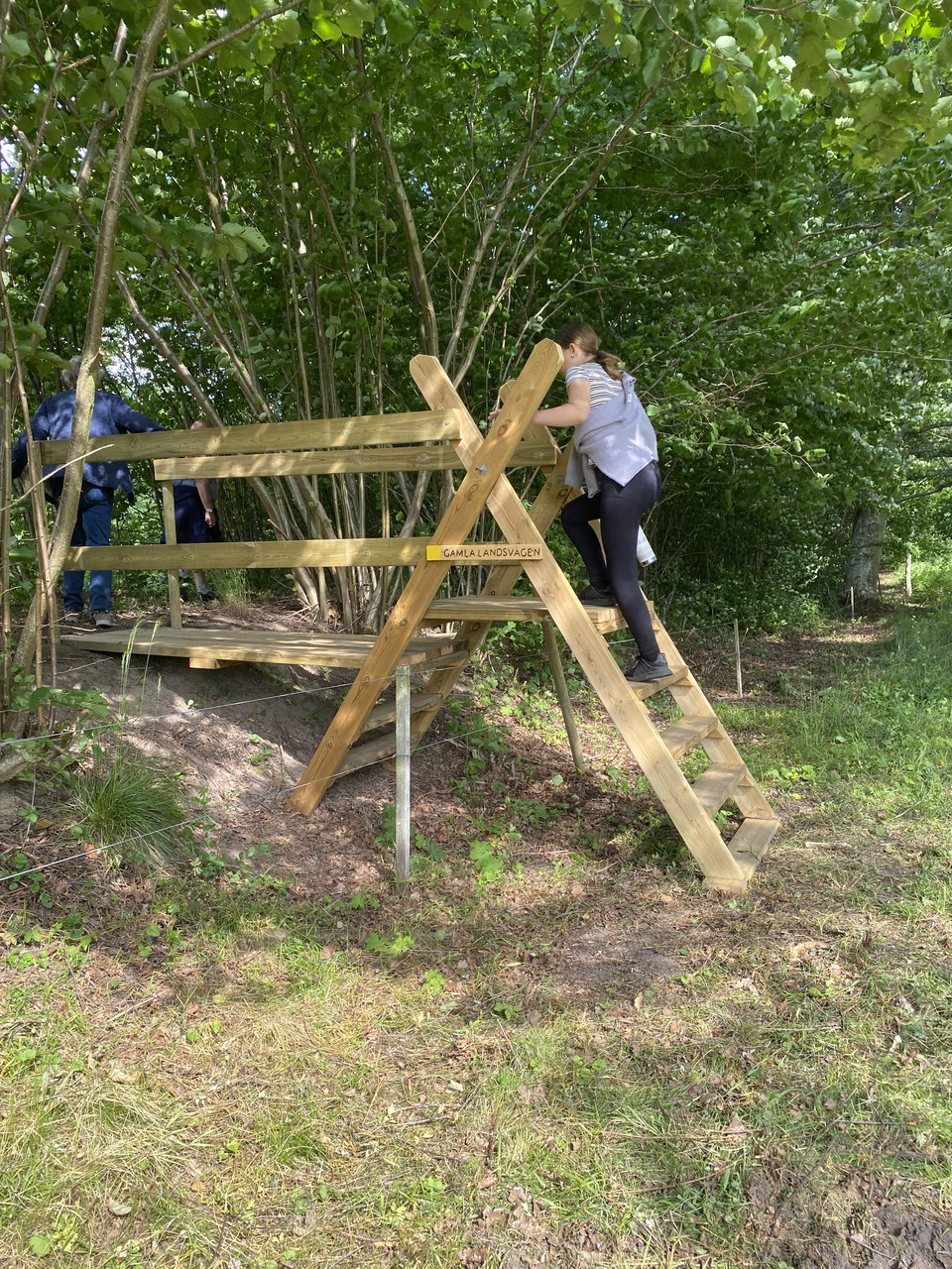
Photo: Lina Jakobsson -
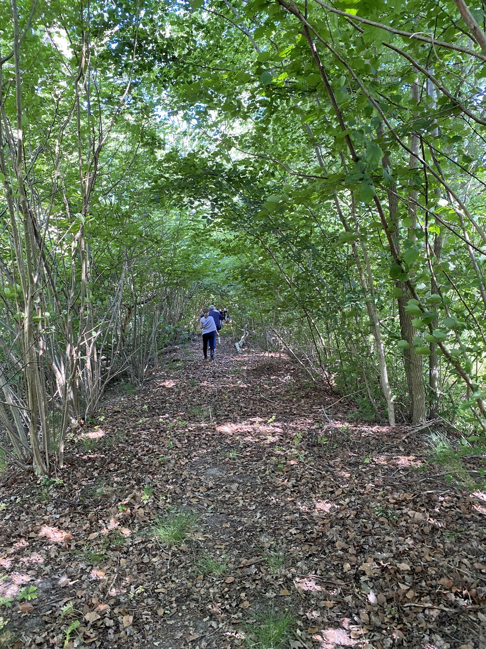
Photo: Lina Jakobsson
Källängen - The Old Country Road – circular route/alternative route, the Ljungbyån hiking trail
- Circular trail
- Walking
- Hiking
- County: Kalmar län och Öland
- 6897.31 km away from you
Trail details
- Length 1.0 km
Actions
Description
An alternative route along the old highway that also makes it possible to walk a shorter loop of 1.5 kilometers in Källängen.
Choose this route if you are hiking along the trail in winter or early spring when Tomtebybäcken is not passable due to high water levels.
Activities And Facilities
- Walking
- Hiking
- Circular trail
Contact
Email address
Eva-Lena Larsdotter
Please be aware that some of these texts have been automatically translated.
I’ve been here
I want to go here 1

Questions & Answers
Ask a question to other Naturkartan users.
Reviews
0 reviews
- 5 :
- 4 :
- 3 :
- 2 :
- 1 :
Users images
No user images yet. Be the first to share!
