
Äventyrsslingan, Marsbäcken
- Children's adventure
- Hiking
- County: Kalmar län och Öland
- 6849.83 km away from you
Trail details
- Length 1.7 km
- Difficulty Blue - medium
Actions
Description
**A lovely trail of about 2 km that takes you through exciting nature, past quarries and up the mountain with a göl on the side.
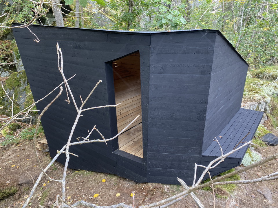
During the walk you will pass the Rock View shelter, created in 2024 in connection with the ArkNat architectural festival.
The loop is suitable for the whole family and will be a reasonably long walk for children.
Occasionally hilly and difficult to access, not suitable for strollers.
OSB! The trail is not marked. Some parts of the trail may be covered with water during fall and early spring.
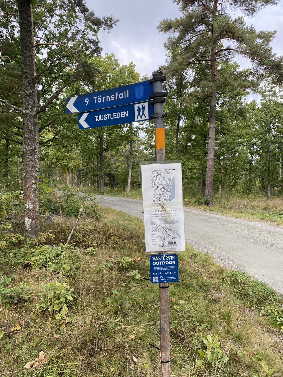
Parking is available at Gäddeglovägen, and the start follows Tjustleden about 200 meters.
Activities And Facilities
- Hiking
- Children's adventure
Downloads
Contact
Address
Adress: Stora torget 4, 59333 Västervik
Email address
Västerviks turistbyrå
Please be aware that some of these texts have been automatically translated.
I’ve been here 3


I want to go here 5

Questions & Answers
Ask a question to other Naturkartan users.
Reviews
0 reviews
- 5 :
- 4 :
- 3 :
- 2 :
- 1 :
Users images
No user images yet. Be the first to share!
