
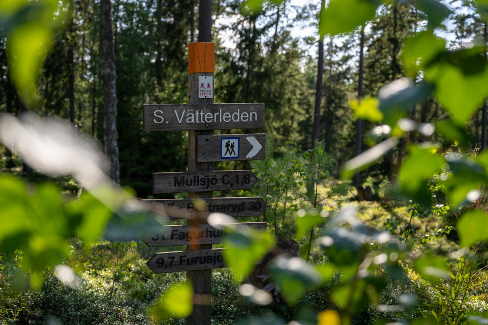
Södra Vätterleden
- Hiking
- County: Jönköpings län
- 6703.35 km away from you
Trail details
- Length 88.4 km
- Difficulty Green - simple
Actions
Description
Welcome to an exciting hike along the beautiful shores of Lake Stråken. In addition to the beautiful lake and forest landscape, you will pass a very rich cultural landscape with the ancient Ryfors Bruk, a large number of ancient remains, as well as traces of prehistoric hiking trails. The area's easy-to-walk sandy plateaus with gently rolling ridges are ideal for hiking. The stage works well as a longer full-day trip, or a quieter two-day hike and can also be combined with connecting trails. This stage is also part of the Småland Trail.
Trail description with map is available at Mullsjö Infocenter, or www.skaraborgsleder.se.
About the trail
Length: 30 km
Type: Hiking trail
Difficulty: Easy
Surface: Paved road, Forest path, Paved footpath or cycle path, Wide forest path, Gravel road
Marking: Color marking
Trailhead: Mullsjö Hotell & Konferens and Bottnaryd center respectively.
Water: Drinking water is available in a tap at the back of Mullsjö Hotell & Konferens. The trail also passes the lakes Stråken and Trollsjön. The water in these lakes is generally of high quality, but as we do not continuously take water samples, we cannot provide any guarantee. If you are unsure, you should boil or filter the water.
Activities And Facilities
- Hiking
Contact
Email address
Infocenter Mullsjö kommun
Organization logotype

Please be aware that some of these texts have been automatically translated.
I’ve been here
I want to go here 1

Questions & Answers
Ask a question to other Naturkartan users.
Reviews
0 reviews
- 5 :
- 4 :
- 3 :
- 2 :
- 1 :
Users images
No user images yet. Be the first to share!
