
Gislavedsleden stage G4 Sandvik - Fegen - Part of Smålandsleden
- Hiking
- County: Jönköpings län
- 6704.72 km away from you
Trail details
- Length 15.1 km
- Time 3 h 50 min
- Difficulty Blue - medium
Actions
Description
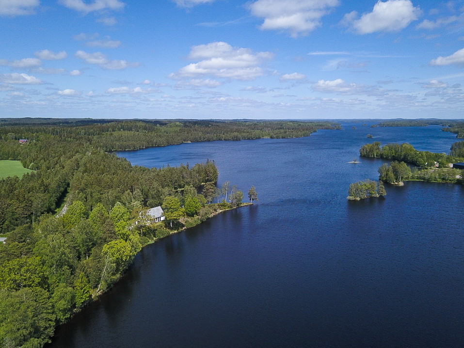
During this stage you continue your walk through the stunning nature reserve of Fegen. You walk through several villages with beautiful views of Lake Fegen. In Barslida the trail splits.
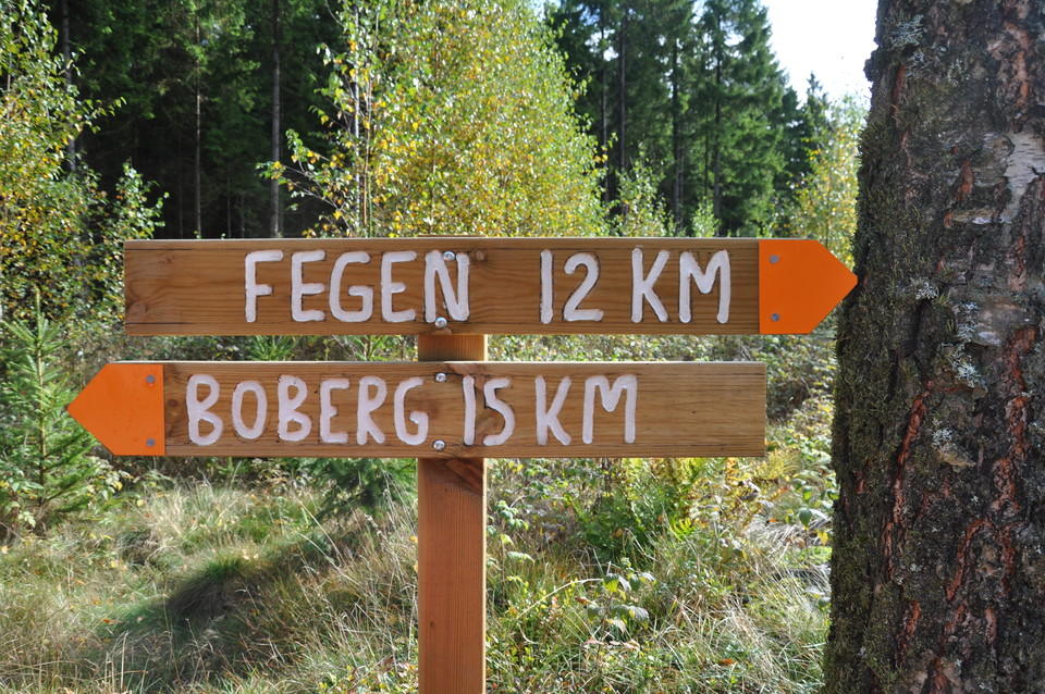
You can choose to continue your hike to the community of Fegen, located on the southern shore of Fegen. There is a bus stop here for those who want to end or start their hike here.
You can also continue walking towards Kinnared and Kollabo where the Gislaved Trail connects to the Halland Trail. Kinnared has a bus and train station. However, the last few kilometers of the trail that crosses the landscape border between Halland and Småland are very sparsely marked and to follow it requires a map or GPS.
Kollabo campsite provides a shelter, barbecue area, wood store and dry toilet.
Activities And Facilities
- Hiking
Downloads
Contact
Email address
Organization logotype

I’ve been here 1

I want to go here 2
Questions & Answers
Ask a question to other Naturkartan users.
Reviews
0 reviews
- 5 :
- 4 :
- 3 :
- 2 :
- 1 :
Users images
No user images yet. Be the first to share!
