
-
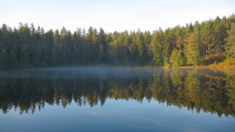
Trollsjön -
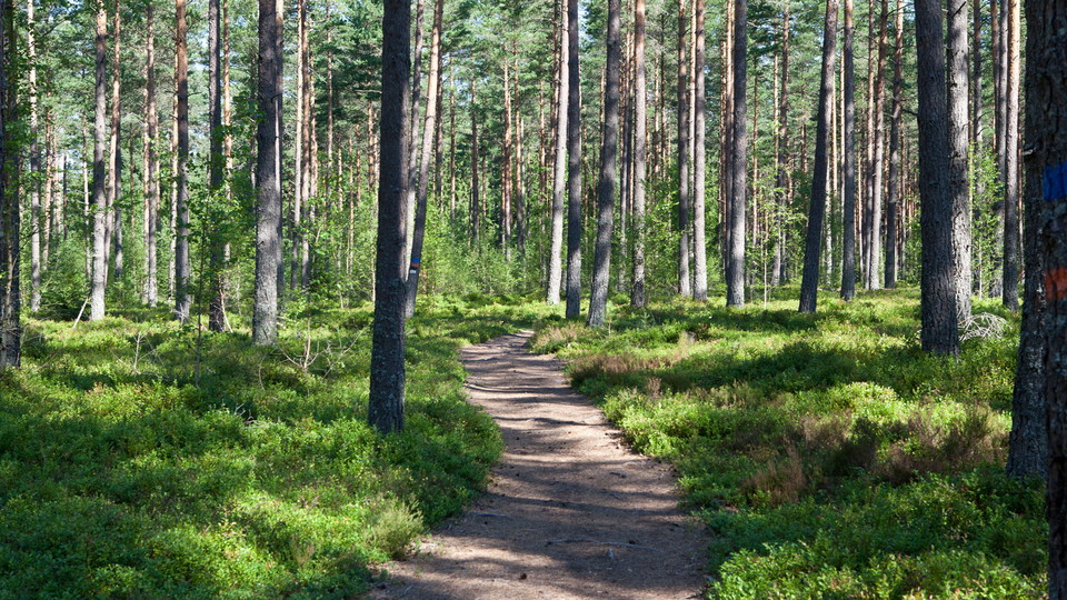
Gyljeryd -
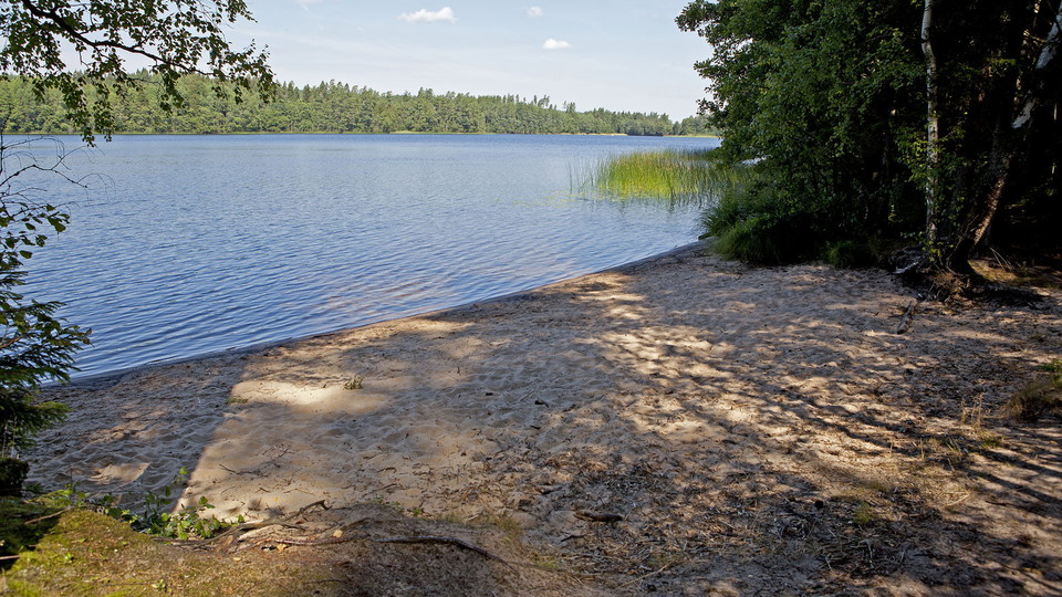
Stråken -
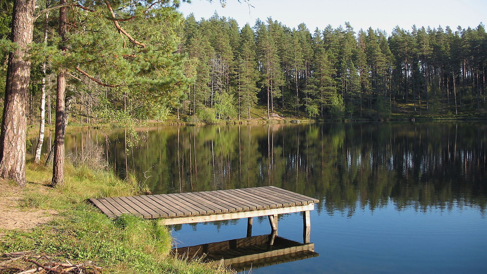
Trollsjön
Blå Spåret (6 km)
- Hiking
- Near parking
- Near Public Transport
- County: Jönköpings län
- 6704.11 km away from you
Trail details
- Length 6.0 km
- Difficulty Blue - medium
Actions
Description
The Blue Trail is a 6 km loop with Hotel Mullsjö as the starting point. The trail runs for the most part over the easily walked Gyljerydsmon with a few shorter climbs. In the beautiful and varied forest landscape you pass many interesting places. The trail follows good paths and easier roads and is marked in blue.
Activities And Facilities
- Hiking
Accessibility
- Near parking
- Near Public Transport
Directions
Follow the southern entrance to Mullsjö and turn onto Sjövägen towards Hotel Mullsjö. Parking is available at the hotel. Alternatively, you can take public transport. At Hotel Mullsjö there is a stop "Friluftshotellet". For traffic information please contact Västtrafik, tel 0771 - 41 43 00, or visit the website www.vasttrafik.se. There is also a 1.8 km orange-marked trail from Mullsjö center to Hotel Mullsjö.
Contact
Email address
Infocenter Mullsjö kommun
Organization logotype

Please be aware that some of these texts have been automatically translated.
I’ve been here 2

I want to go here 2


Questions & Answers
Ask a question to other Naturkartan users.
Reviews
1 review
- 5 :
- 4 :
- 3 :
- 2 :
- 1 :
Users images
No user images yet. Be the first to share!

En välidigt fin vandringsled. Särskilt på hösten. Missa inte Gyljerydsmons offerkälla.