
-
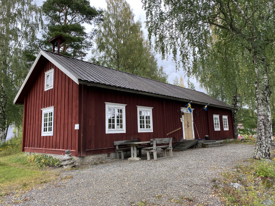
Stuguns hembygdsgård
Vandringsled Älvleden, Stugun
- Hiking
- Walking
- Running
- Guide: Ragundadalen
- 6512.97 km away from you
Trail details
- Length 9.8 km
- Difficulty Green - simple
Actions
Description
Ävleden starts and ends at the homestead in Stugun. If the weather is suitable, the trail is also suitable for skiing!
- Starting point: Hembygdsgården in Stugun. Follow the blue markings.
The river trail starts and ends at the homestead. From the tourist information at the bridge over the Indals River, the trail follows the Indals River via the power plant and Fagerstranden down to Fredrikslund. From there via the road towards Mörtsjön and Gramyrvägen via Sörgårdsgramyran and the ski stadium back to the starting point.
The trail is suitable for cycling.
Activities And Facilities
- Walking
- Running
- Hiking
Contact
Address
Ragunda kommun
0696-68 20 00
Email address
Ragundadalen
Please be aware that some of these texts have been automatically translated.
I’ve been here 1
I want to go here 2

Questions & Answers
Ask a question to other Naturkartan users.
Reviews
0 reviews
- 5 :
- 4 :
- 3 :
- 2 :
- 1 :
Users images
No user images yet. Be the first to share!
