
-
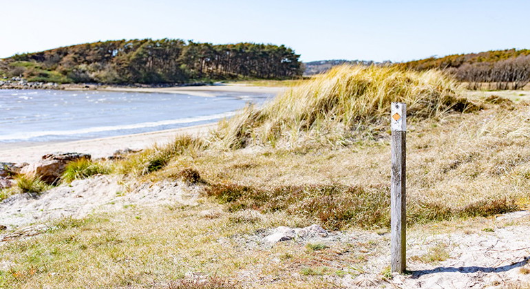
Vy mot havet -
-
-
-
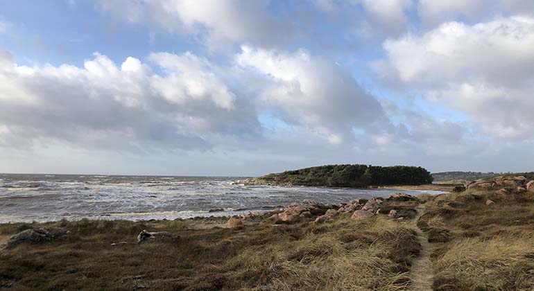
Vy över havet som möter land -
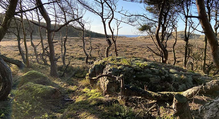
Vy över reservatet med träd och stenar -
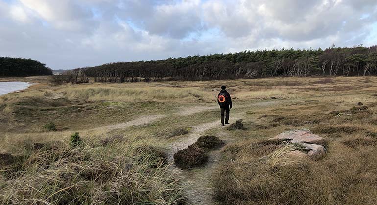
En person som går på en stig i reservatet -
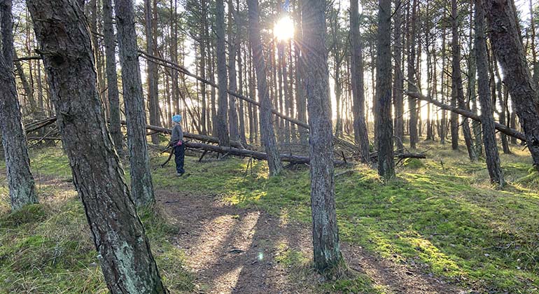
En person som kollar på ett träd som har fallit ner och ligger i skogen -
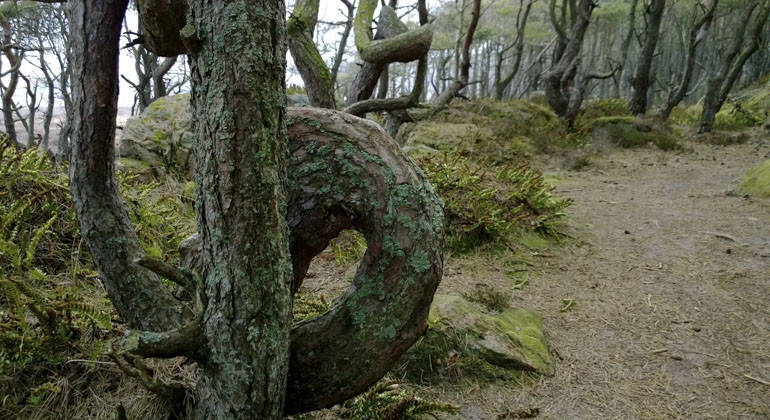
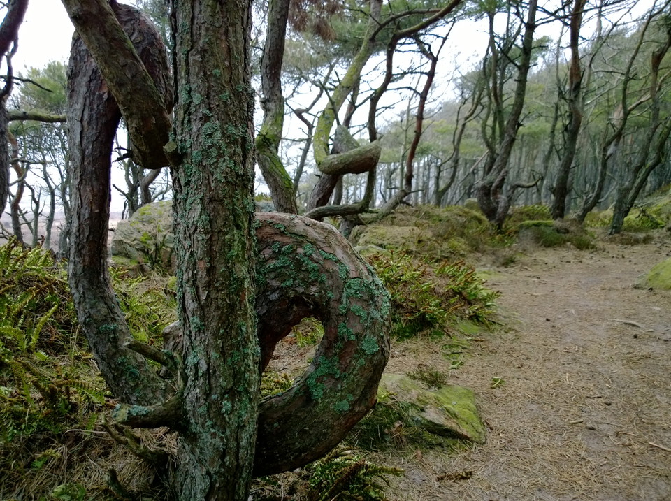
Ett träd med en snedväxt stam -
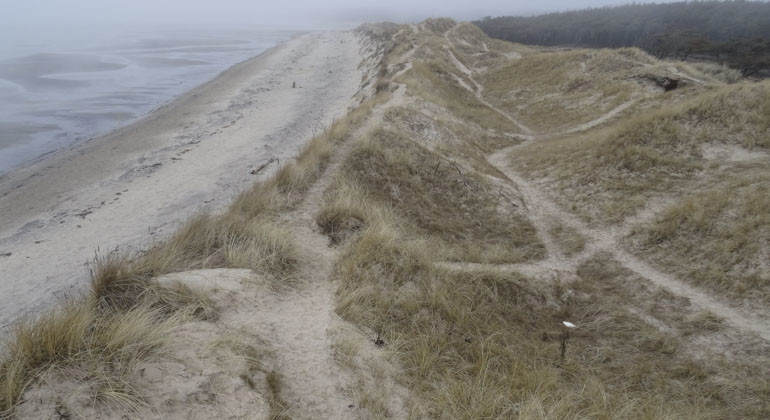
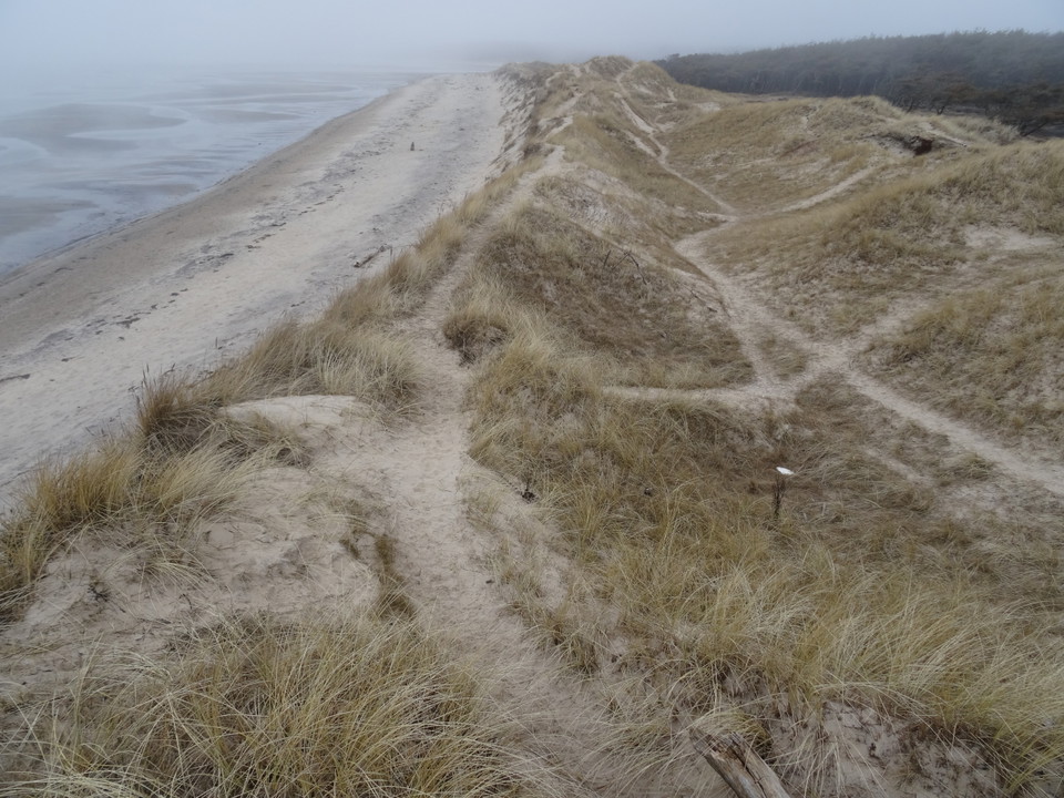
Vy ovanifrån där du kan se när hav möter land samt stigarna som gjorts i marken -
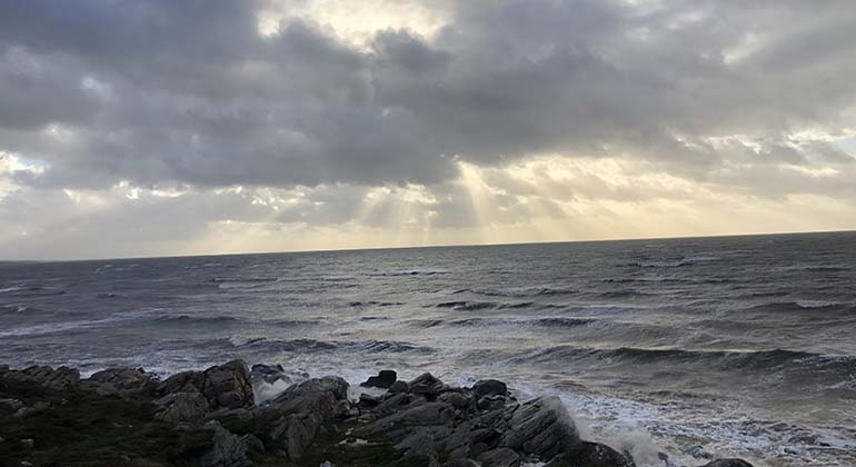
Vy över havet -
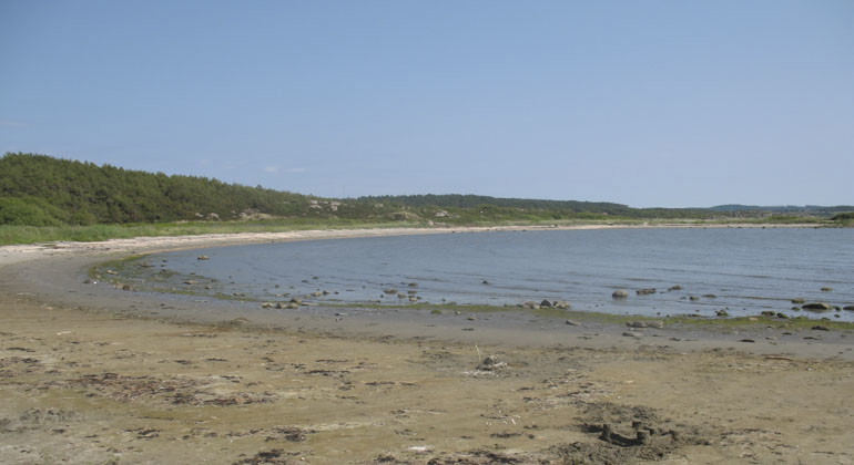
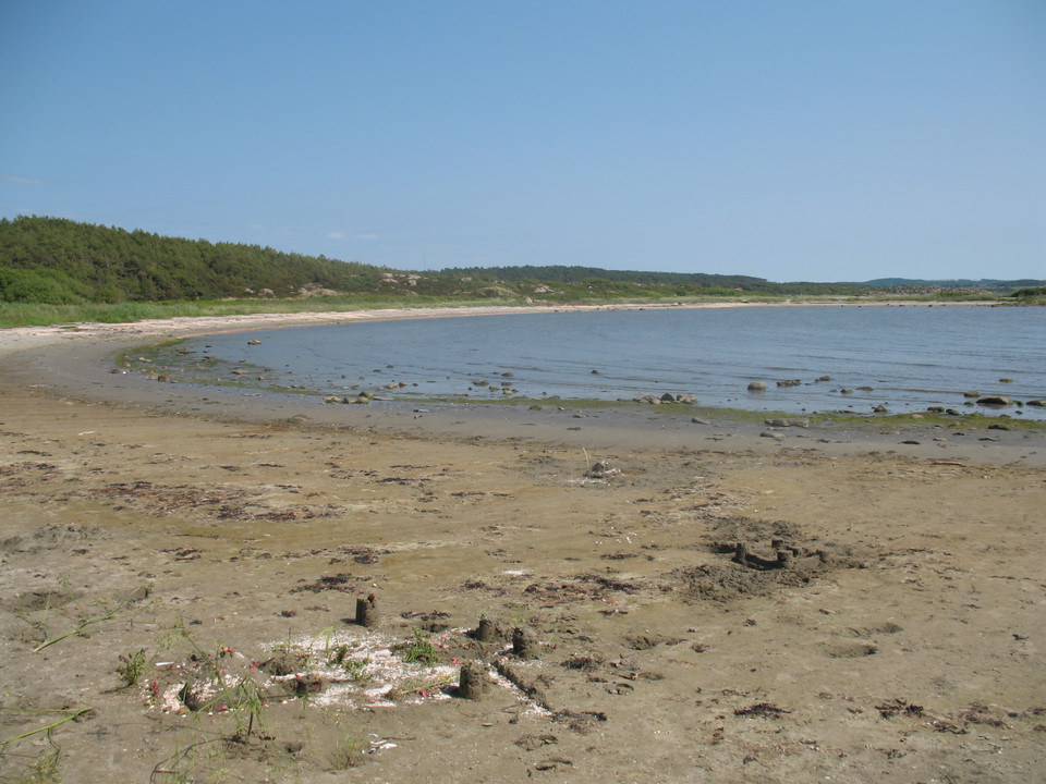
Vy från land över en vik -
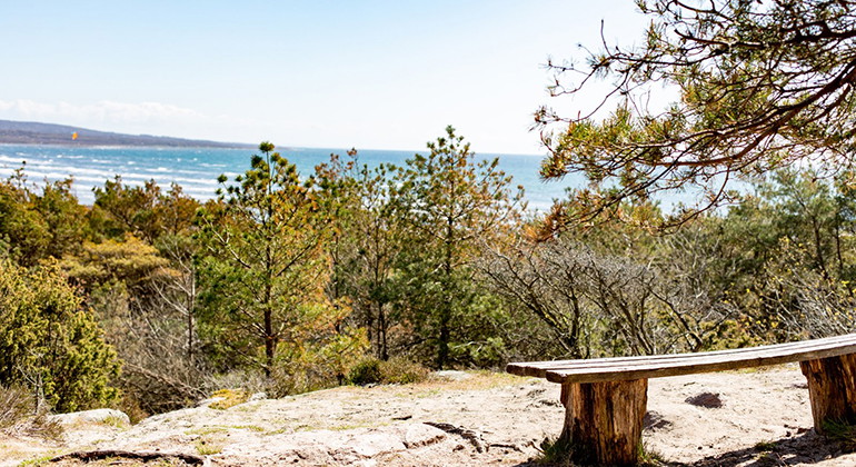
Bänk med utsikt över havet
Vesslunda, Naturreservat
- Nature reserve
- County: Hallands län
Actions
Description
In Vesslunda you will find a beautiful beach environment, but also planted pine forest on flying sand fields. Here you can swim from the sandy beach and cliffs or take a walk on the almost three kilometer long hiking trail that runs through the reserve.
Vesslundareservatet is located with its soft sandy bays immediately south of the Suseån estuary. The open coastal area is characterized by a rocky heather and juniper landscape and by sandy beaches, wet heaths and dunes. The Suseån estuary is a unique environment to discover. Grimsholmen nature reserve is located directly north of the estuary.
Marked hiking trail
In the reserve there are several trails to follow with references to beautiful viewpoints. The marked hiking trail (orange marking) is 2.6 kilometers and starts at the southern and northern parking lot. The trail goes through forest but also along the coastline. Detours to the viewpoints can be made. Nice, pleasant hike without difficult climbs, if you avoid the viewpoints.
Valuable fish
Suseån has a valuable stock of migratory fish such as salmon, sea trout, river lamprey and sea lamprey. The sandy beach is widest closest to the river mouth, and here there are mighty sand dunes. There are dunes in the area that are up to ten meters high.
A rich plant and animal life
On the heath behind the dunes there is a valuable flora with species such as the brown plant and the beach louse. There is also an interesting mushroom flora with heath finger mushrooms and beach earth tongue, as well as several exciting insect finds of unusual ground beetles, wasps and other insects. Together with Grimsholmen in the north and the sandy areas of Långasand in the south, Vesslunda is probably the country's northernmost outpost for the endangered skylark.
The sand used to be a problem
During the 18th and 19th centuries, the shifting sand became a problem for local farmers. To deal with sand drift, pine trees were planted in the open sandy areas. Today, a large part of the reserve is covered with pine forest. In the future, parts of the wooded areas in the reserve will be restored to open heathland and sandy soils. This is to benefit species that thrive in sandy and sunlit environments. However, according to the management plan, the inner parts of Vessluna will continue to be wooded, while the transition to the area's open sandy heath environments will be soft and mosaic-like.
Strong currents in the sea and tricky outlet
The sea in the reserve can be subject to very strong currents and sudden seabed changes on windy days. If you get caught in the current, try to stay on course along the coastline to get out.
As the outlet of the Suseån river moves throughout the year depending on the weather and wind, the surfaces around the outlet can sometimes be tricky, with soft sand that can feel like quicksand, where you can easily sink. So be extra careful where you put your feet when you are out and about at the outlets.
Activities And Facilities
- Nature reserve
Facts
Dominant habitat types: Shoreline habitats and pine forests on drifting sand fields
Municipality: Falkenberg
Area: 35.5 hectares
Protected since: 1974
Owner: Swedish Environmental Protection Agency
Trustee: County Administrative Board
Directions
Vesslunda is located in Falkenberg municipality.Bicycle: Turn off the Kattegattleden in Långasand and follow Vesslundavägen towards the beach and the reserve (1.5 km)Directions: From the coastal road at Eftra church, turn towards Boberg and after 2 kilometers towards Vesslunda. Parking is available at the reserve (both in the northern (51 spaces) and southern part). GPS (WGS84): Lat N 56° 50' 32" Lon E 12° 34' 45".
Regulations
To protect the nature reserve, the County Administrative Board has decided on special regulations, including those that you as a visitor to the area must follow and respect.
In addition to what applies under other legislation, it is forbidden to:
- disturbing wildlife,
- digging up plants
- camping or pitching a caravan
- moor or tie up boats other than in a designated place
- make fires
- riding horses, and
- drive motor vehicles or park other than on the designated road/place.
Contact
Address
Kontakta reservatsförvaltningen för frågor, synpunkter och felanmälan.
Email address
Länsstyrelsen i Hallands län
Organization logotype
Please be aware that some of these texts have been automatically translated.
I’ve been here 14

I want to go here 5

Questions & Answers
Ask a question to other Naturkartan users.
Reviews
0 reviews
- 5 :
- 4 :
- 3 :
- 2 :
- 1 :
Users images
No user images yet. Be the first to share!
