
-
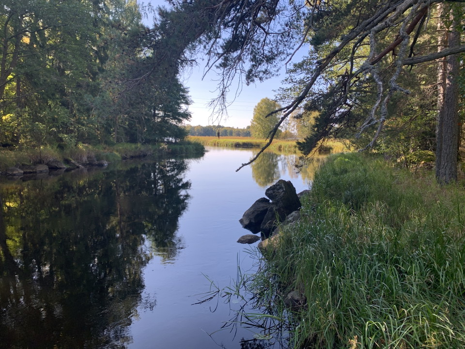
Photo: Sandvikens kommun
Österfärnebo-Gysinge bruk, Gästrikeleden etapp 13
- Hiking
- County: Gävleborgs län
- 6720.94 km away from you
Trail details
- Length 8.5 km
Actions
Currently
WARNING - for storm-felled forest

Activities And Facilities
- Hiking
Downloads
Contact
Email address
Föreningen Naturkraft Gästrikland
Organization logotype
Please be aware that some of these texts have been automatically translated.
I’ve been here 11




I want to go here 23



Questions & Answers
Ask a question to other Naturkartan users.
Reviews
1 review
- 5 :
- 4 :
- 3 :
- 2 :
- 1 :
Users images
No user images yet. Be the first to share!

Kort etapp som kanske är den finaste på Gästrikeleden - slingar sig fram längs Dalälven och med ett par fina platser att dricka sitt kaffe och en kenelbulle. Eller så sparar man det till Gysinge där det ju finns alternativ.