-

Vy över ån -

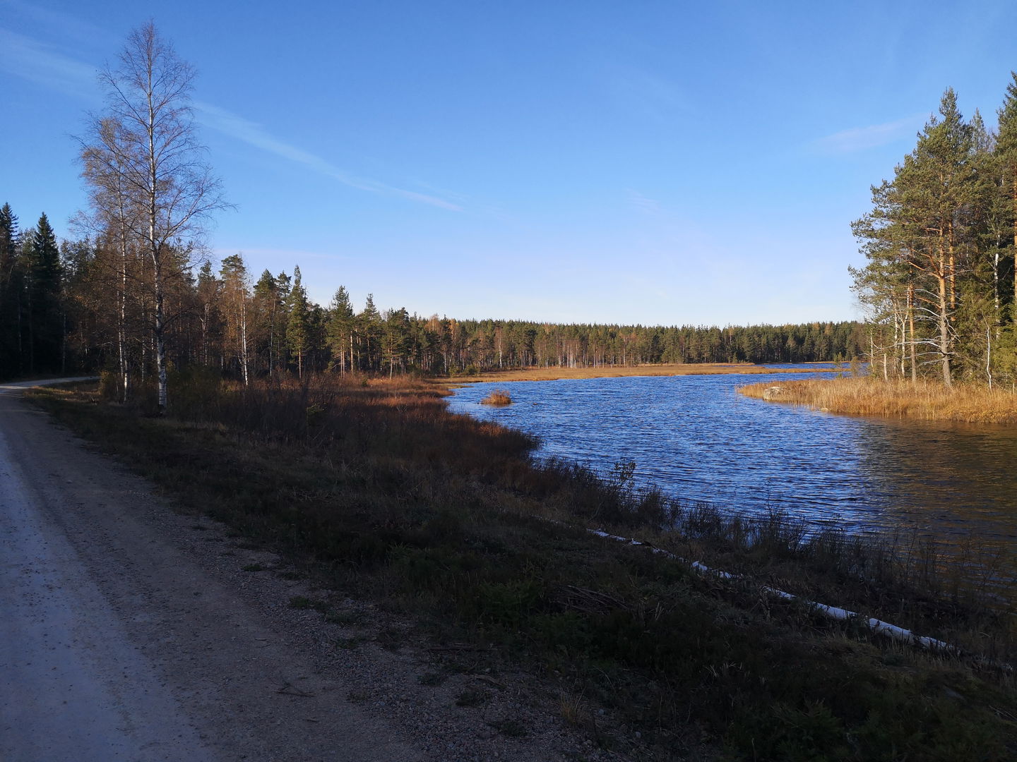
Vy mot Söndagssjön -

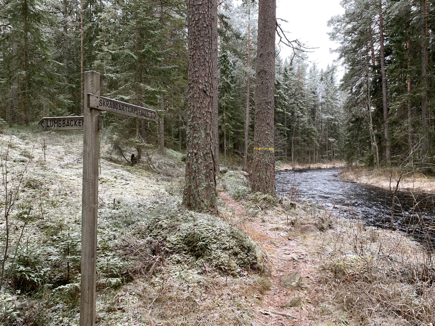
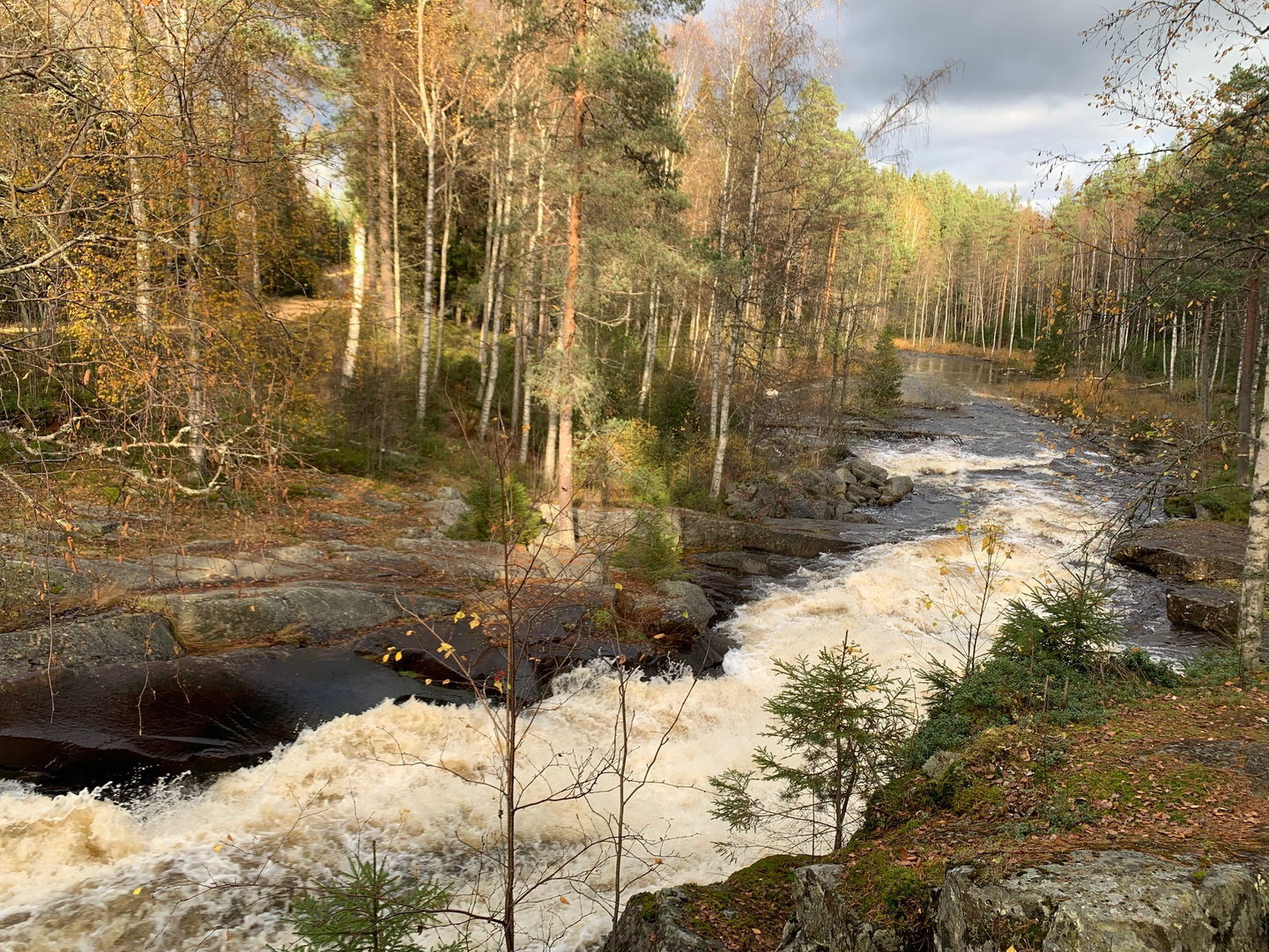
Vy över ån -

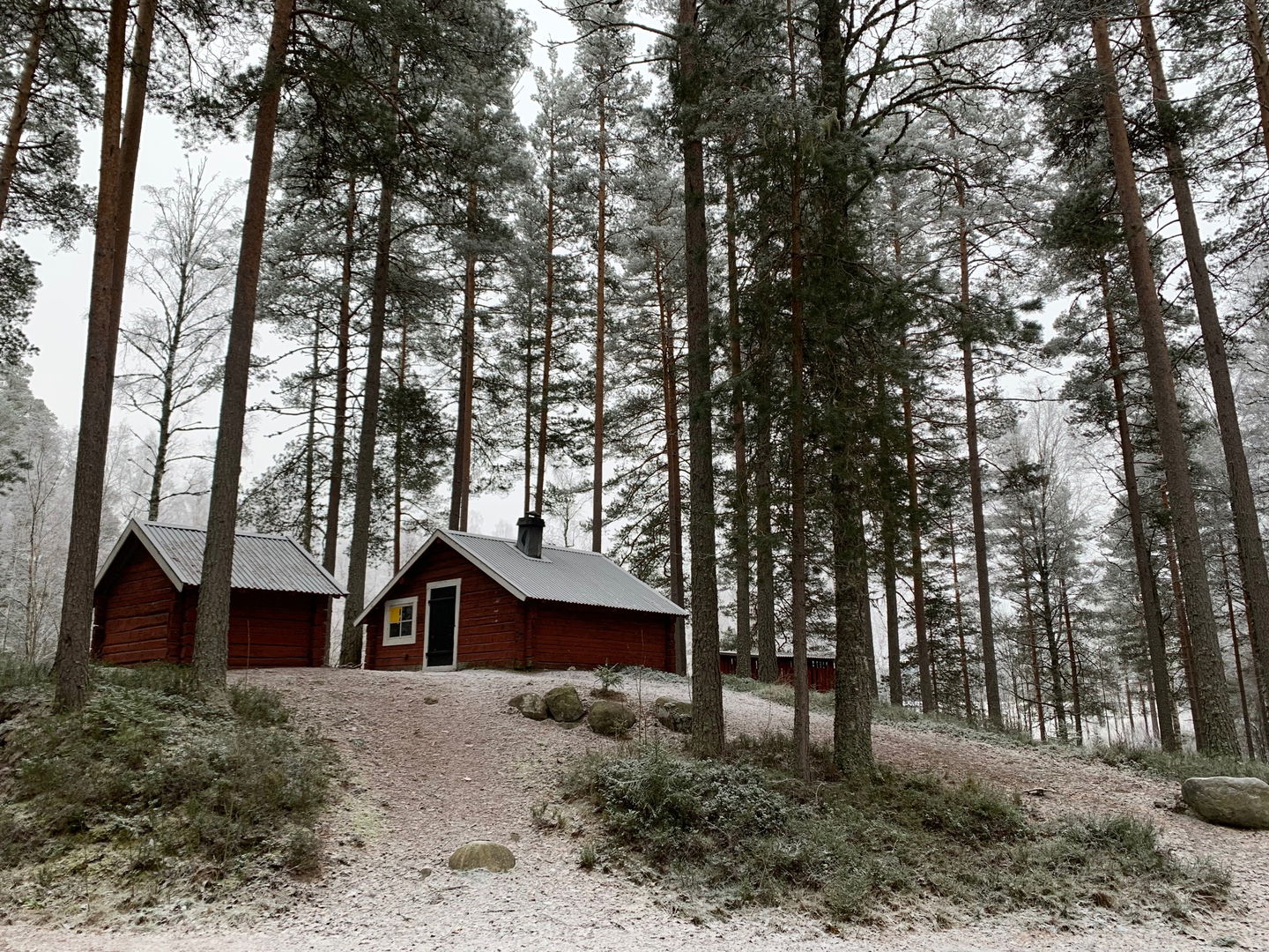
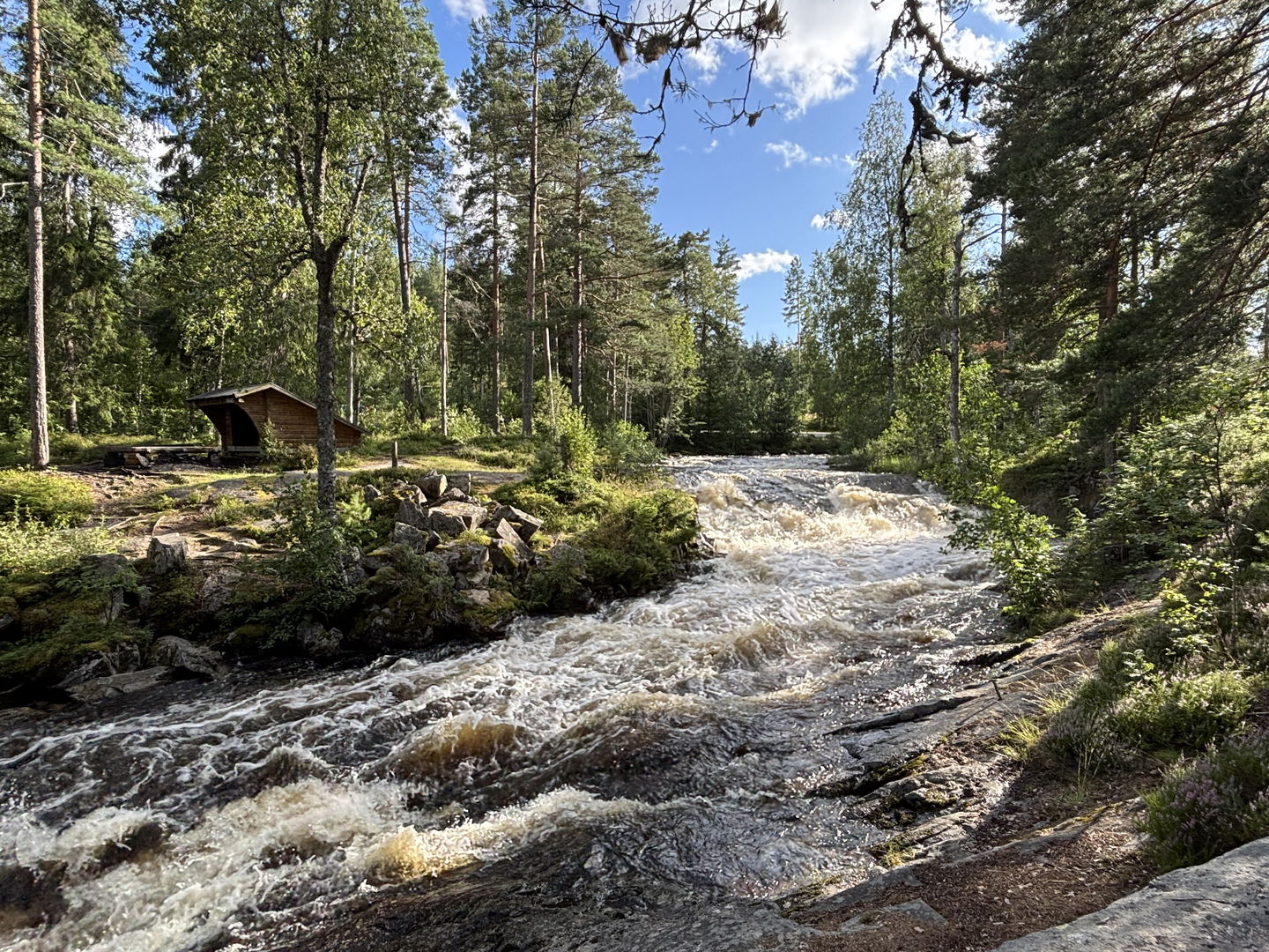
Raststuga Lumsen -

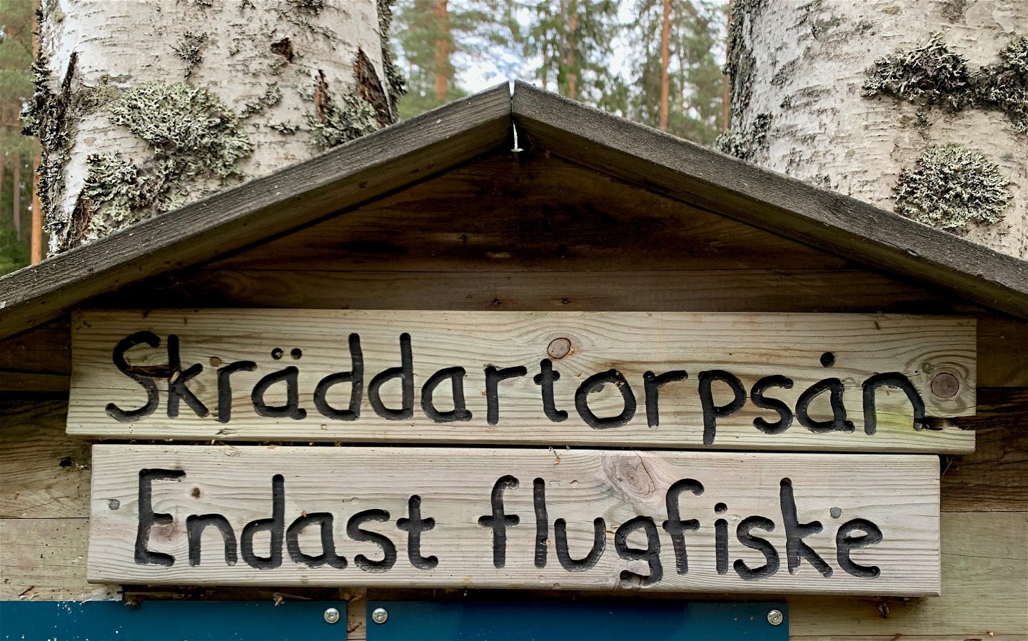
Endast flugfiske i ån -

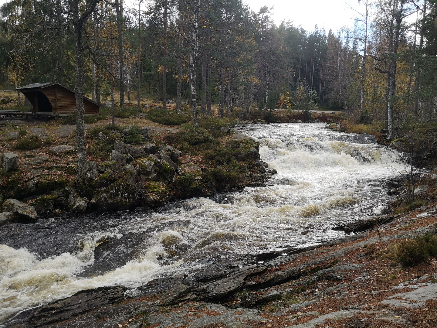
Vy över Skräddartorpsfallet -

Skräddartorpsån -

Vy över Skräddartorpsfallet och rastplats
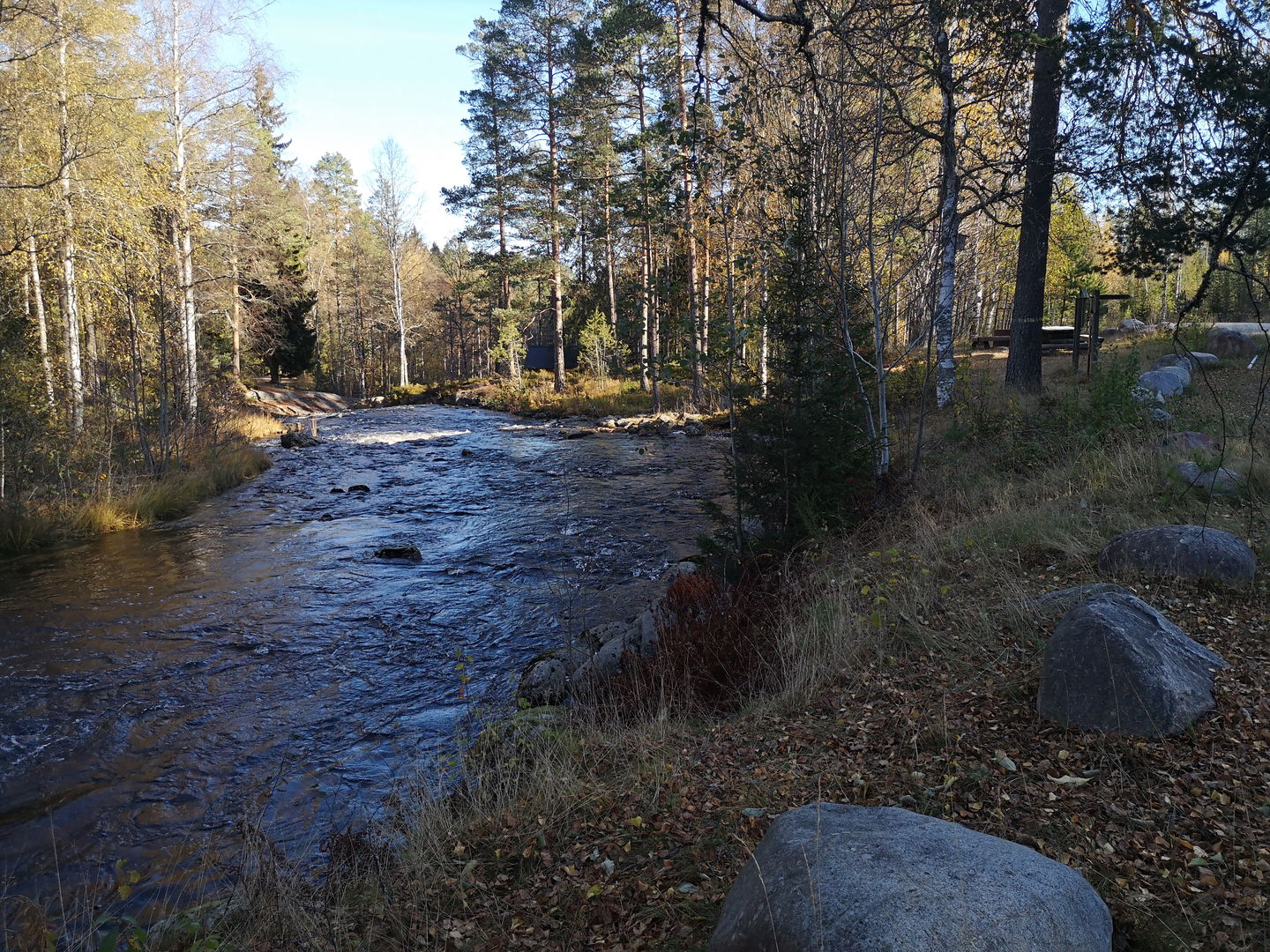

Skräddartorpsån
Fishing
- County: Dalarnas län
- 6801.34 km away from you
Actions
Currently
Bron vid Lumsenkojan är nedmonterad och borttagen p.g.a risk för ras. Ny bro är planerad, dock så finns ingen tidsplan i dagsläget.
Det innebär att det INTE går att passera Skräddartorpsån i anslutning till Lumsenkojan tills vidare. Därmed så går det ej heller att vandra slingan runt ån utan man måste vandra samma väg tillbaka till målet.
Description
Skräddartorpsån är ett litet strömvatten som rinner mellan sjöarna Lumsen och Söndagssjön.
Ån är väldigt populär och ett uppskattat utflyktsmål med sitt fina vattenfall, Skräddartorpsfallet, och närheten till Lumsenkojan och dess rastplats. Runt ån finns fina vandringsslingor med stigar och bra rastmöjligheter med grillplatser, vindskydd, bord och tc.
OBS! Endast flugfiske tillåtet!
Sveaskog uppmanar samtliga besökare till att på ett korrekt sätt återutsätta ALL fångst om detta är möjligt. Fisketrycket på fisken är tidvis hårt, och kvalitén på fisket skulle snabbt försämras om samtliga besökare behöll fisken.
Fiske är förbjudet i ALLA strömmande vatten inom Malingsbo-Kloten fr.o.m. 1 oktober t.o.m. den 30 november.
Activities And Facilities
-
Fishing
-
 Hiking
-
 Firesite
-
 Rest area
-
 Cabin
Cabin
-
 Shelter
-
 Bench table
Accessibility
-
 Near parking
-
 Near toilet
Facts
Camping med husbil/husvagn tillåtet endast för de som löst giltigt fiskekort.
Parking
Parkerar gör man lämpligast vid Skräddartorpsfallet eller Lumsenkojan.
Directions
Adress: Skräddartorpsfallet, Norra Skräddartorp, 77190 Ludvika eller Lumsenkojan, Gamla Skräddartorpsvägen, Lumsen, 77190 Ludvika
Contact
Email address
Siw Östlund
Organization logotype
![]()
Please be aware that some of these texts have been automatically translated.
Questions & Answers
Ask a question to other Naturkartan users.
