
-
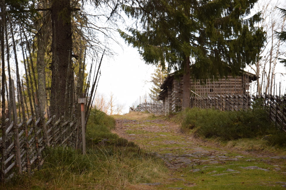
Siljansleden, Ärteråsens fäbod. Foto Bosse Bifrost
Siljansleden, Rättvik kommun
- Hiking
- County: Dalarnas län
- 6585.87 km away from you
Trail details
- Length 340.0 km
- Difficulty Blue - medium
Actions
Description
The Siljan Trail is a hiking trail in the forests around Siljan and Lake Orsasjön. The trail mainly follows old shepherd's huts, along lakes, over bogs and up mountains. Many of the pastures are high and beautifully situated, where there are height differences of over 400 meters. In many places, the uphill effort is rewarded by breathtaking views of Siljan and the surrounding area.
The trail is marked with orange paint and signposts with the design developed for the Siljan Trail. Rest and camp sites are organized at appropriate distances. The trail runs largely in uninhabited terrain and for longer trips it is necessary to be well equipped.
Activities And Facilities
- Hiking
Downloads
Contact
Address
+46 (0)248-700 00
Email address
Rättviks kommun
Organization logotype

Please be aware that some of these texts have been automatically translated.
I’ve been here 5


I want to go here 20

Questions & Answers
Ask a question to other Naturkartan users.
Reviews
0 reviews
- 5 :
- 4 :
- 3 :
- 2 :
- 1 :
Users images
No user images yet. Be the first to share!
