
-
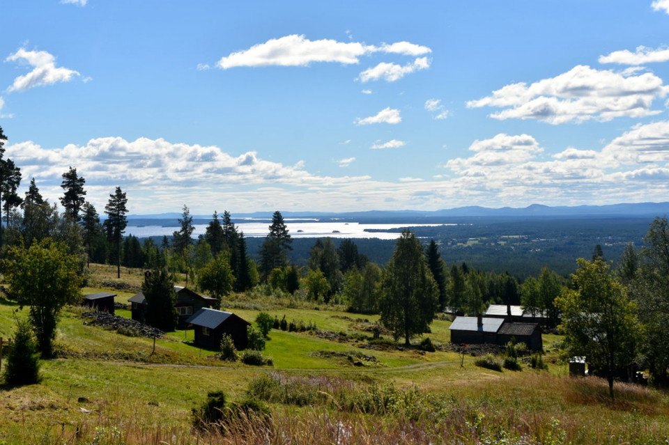
Photo: Mora Outdoor -
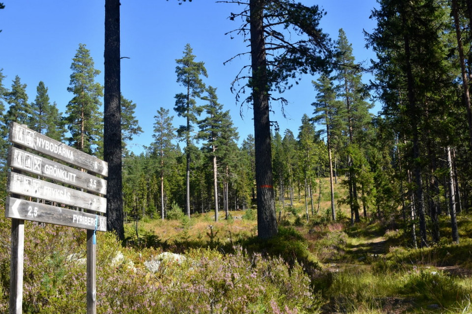
Sista motlutet före Fryksås.
Photo: Mora Outdoor -
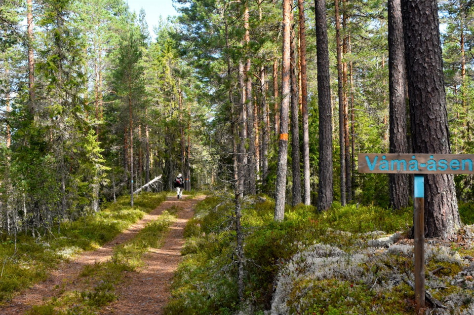
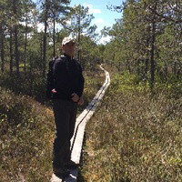
Härlig start utmed Våmån på Våmåsen.
Photo: Mora Outdoor -
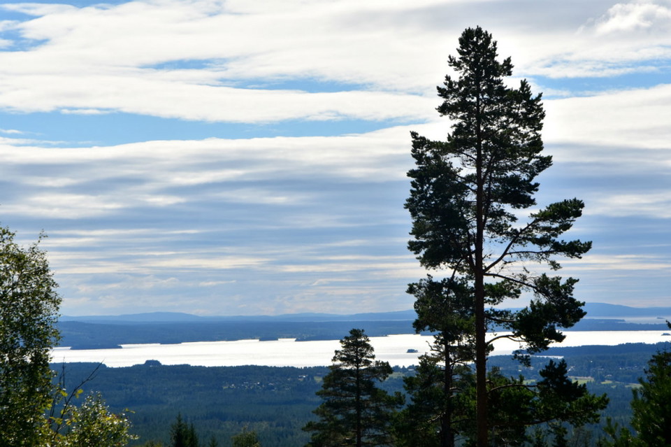
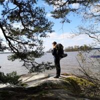
Vy från Näsberg, Orsasjön
Photo: Mora Outdoor
Fryksås-Orsa, Siljansleden
- Hiking
- County: Dalarnas län
- 6565.57 km away from you
Trail details
- Length 17.7 km
Actions
Description
The route starts at Fryksås Fäbodar, which is located on a hill overlooking Lake Orsasjön. The hike is done on a path, both uphill and downhill through a lush forest environment. The route ends in the middle of Orsa. There are no water and food options along the stage. In Orsa, STF Orsa Hostel is located in town, by the ice rink.
Activities And Facilities
- Hiking
Contact
Email address
Mora kommun
Organization logotype

Please be aware that some of these texts have been automatically translated.
I’ve been here 12



I want to go here 28


Questions & Answers
Ask a question to other Naturkartan users.
Reviews
0 reviews
- 5 :
- 4 :
- 3 :
- 2 :
- 1 :
Users images
No user images yet. Be the first to share!
