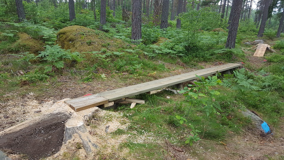
Blue loop
- Municipality: Kinda
- 6785.19 km away from you
- 0.5 km
- Difficulty: Blue
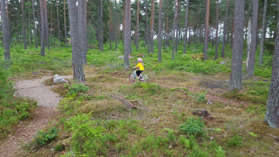
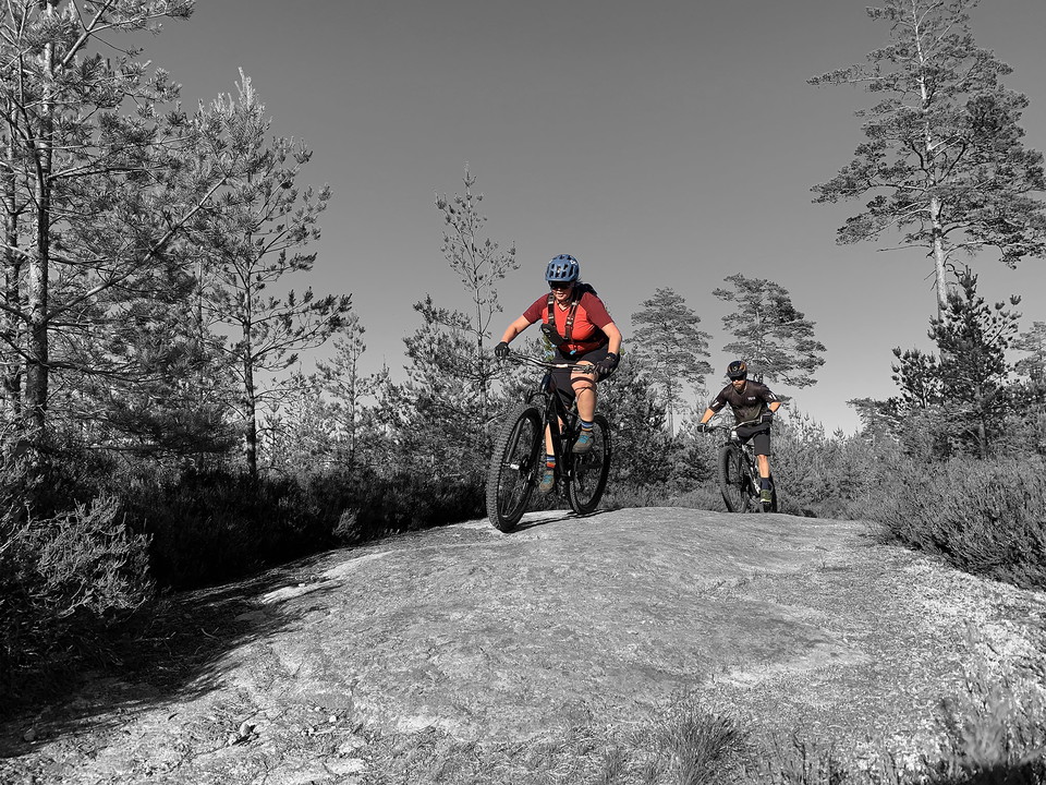
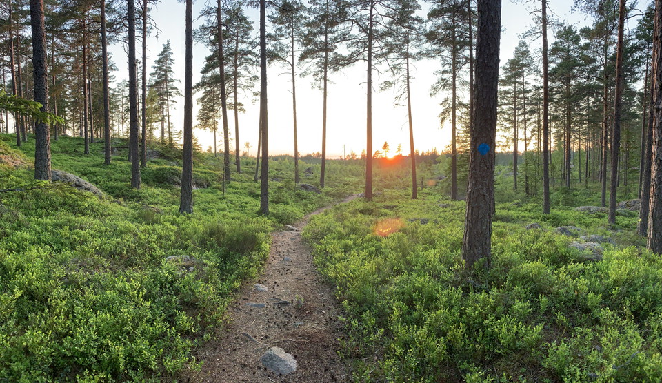
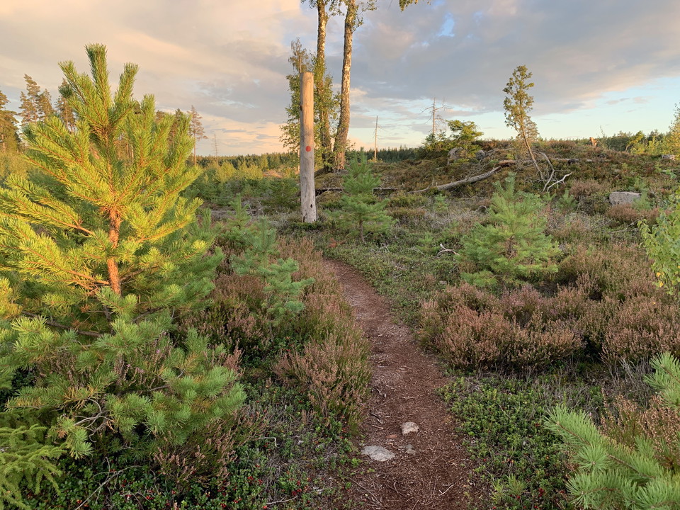
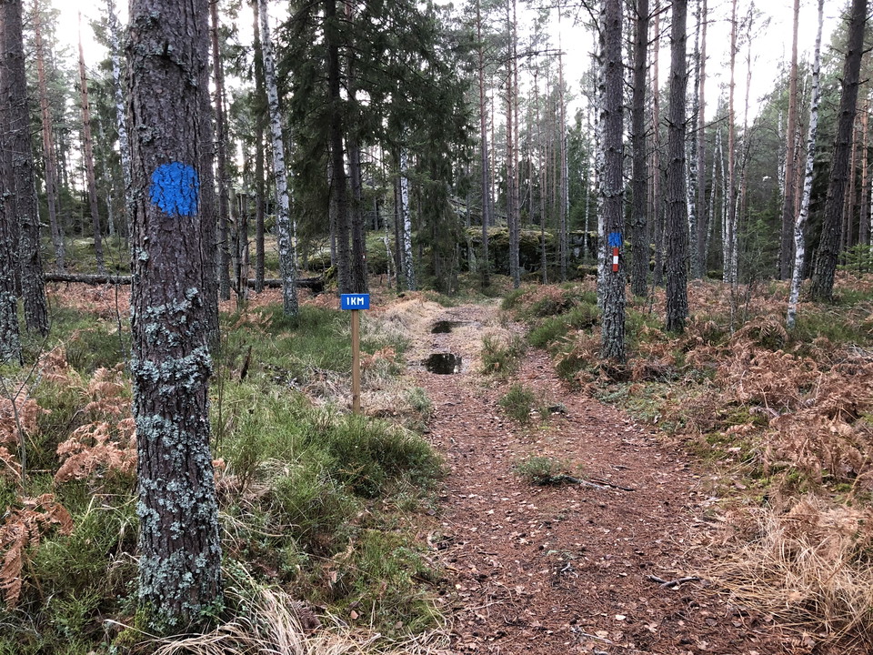
The blue loop and blue alternative tracks are relatively easy to cycle and about 300 meters. Sharper bends and obstacles of up to 20 cm may be present.

Östergötlands län
Naturkartan samlar de mountainbikeleder i Östergötlands län som är populärast bland våra användare.
The blue loop and blue alternative tracks are relatively easy to cycle and about 300 meters. Sharper bends and obstacles of up to 20 cm may be present.
The green loop and green alternative tracks are easy to cycle and are about 70 meters. Obstacles of up to 10 cm may be present.
The yellow marked off-road trail is 3 km. The trail manager is OK Kolmården.
The blue marked off-road trail is 7 km. The trail manager is OK Kolmården.
The red marked off-road trail is 12 km. The trail manager is OK Kolmården.
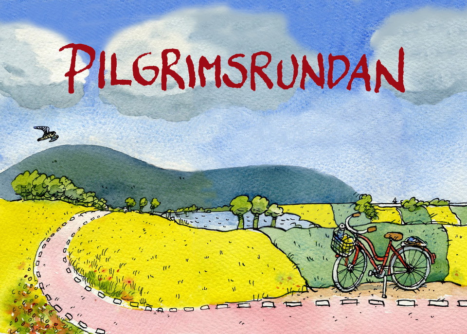
Do you like cycling and are you interested in churches and history? Then the new cycle path "Pilgrimsrundan" may be something for you. The pilgrimage route is 95 kilometers in total and stretches around Tåkern. The starting point and the destination are the…
The Blue MTB trail is about 5 km long and is relatively easy to ride. The trail is suitable for exercisers. The long trail is marked white and is approx. 9 km long. The long white trail initially follows the blue trail, and then follows a different route th…
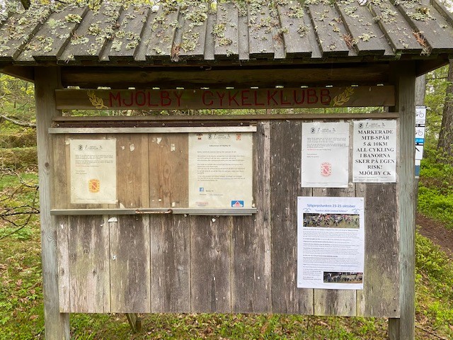
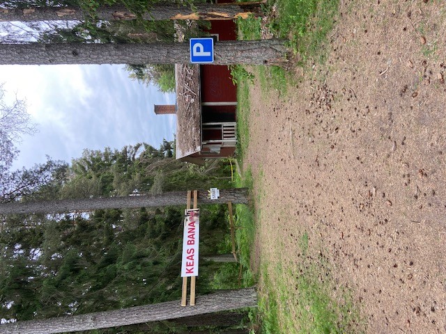
Responsible for Kea's course is Mjölby cycling club, which manages the course. The course is about 4.5 km and starts from the old shooting guild located on Bockarpsvägen. The course is very varied and hilly and contains some different track choices dependin…
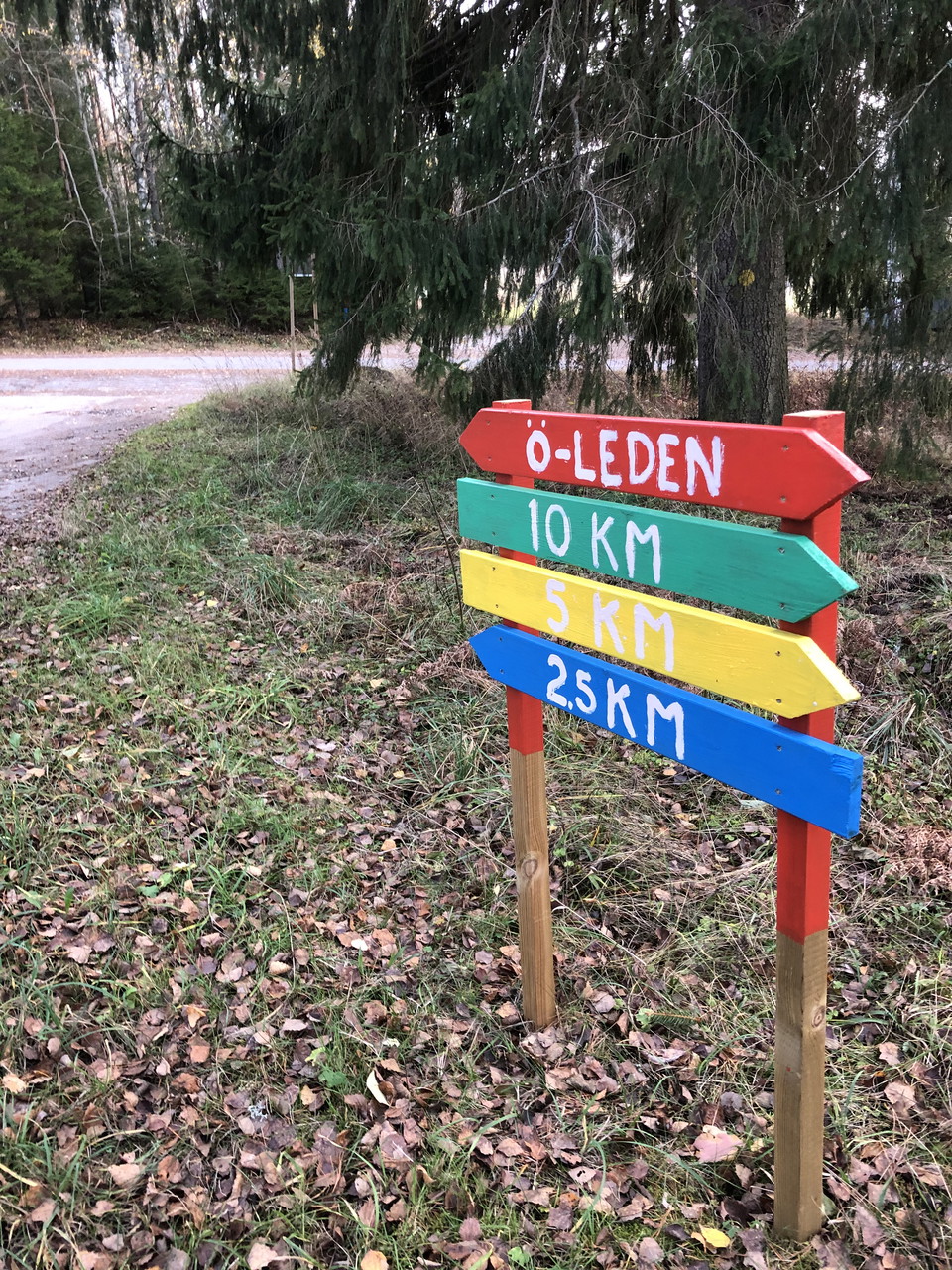
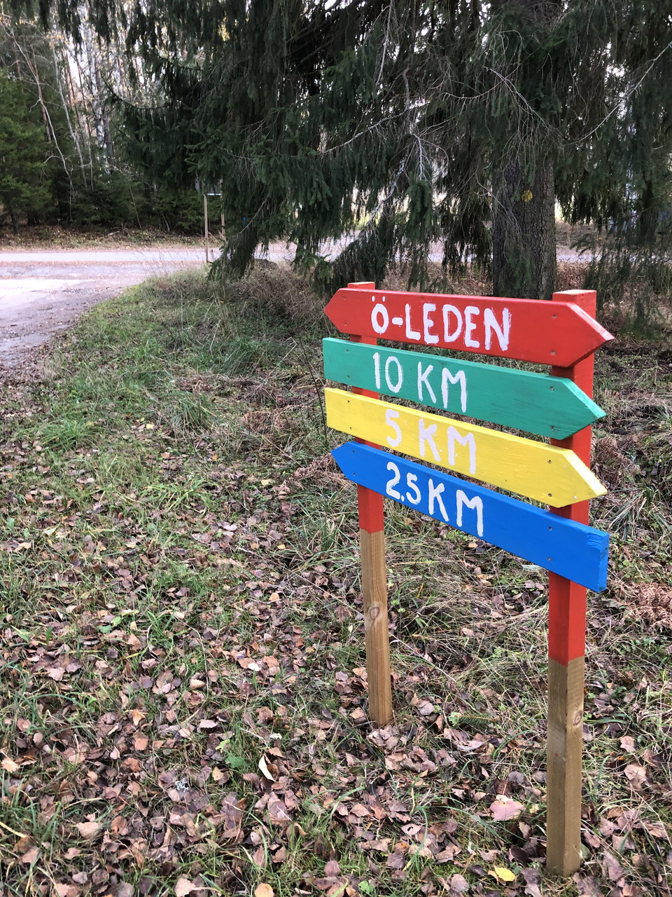
Sörsjön's 10 km off-road trail is marked in green. The trail is slightly hilly and runs in the beautiful Kolmårdsskogen.
Sörsjön's 2.5 km off-road trail is marked in blue. It runs in beautiful Kolmårdsskog and is slightly hilly.
Sörsjöns 5 km terrängspår är gulmarkerad. Den går i vackra Kolmårdsskogarna och spåret är lätt kuperad.
Start and finish: Stocklycke. Cycle counterclockwise. 12 km alt. 9 km. The trail starts south along Sjövägen, asphalt road. After about 800m the trail turns sharply left and it continues on asphalt for about 70 m before it turns into a nice, easy-to-use pat…
Start and finish: Stocklycke. Cycle counterclockwise. 12 km alt. 9 km. The trail starts south along Sjövägen, asphalt road. After about 800m the trail turns sharply left and it continues on asphalt for about 70 m before it turns into a nice, easy-to-ride pa…
Naturkartan samlar de mountainbikeleder i Östergötlands län som är populärast bland våra användare.