Walking

Blekinge län

Images

Map

30 Walking

Walking

City walk in Karlshamn

  • Municipality: Karlshamn
  • 6852.60 km away from you
  • 7.5 km

Welcome to the coastal city of Karlshamn! Enjoy an interesting city walk in central Karlshamn and get to know the city on your own. Follow the sights through the center on the map above. Please, note that the walk is unmarked. Karlshamn with its exciting hi…

Walking

Kolleviksrundan

  • Municipality: Karlshamn
  • 6853.89 km away from you
  • 4.5 km

På gång- och cykelvägar ut mot Kolleviksområdet där bebyggelsen är närvarande, men omgivningarna ändå mest består av natur. Hela rundan går på asfalt med bra framkomlighet för barnvagn och rullstol, små höjdskillnader. Rundan är belyst med gatlampor och kan…

Walking

PrÅmenaden

  • Municipality: Olofström
  • 6829.20 km away from you
  • 4.0 km

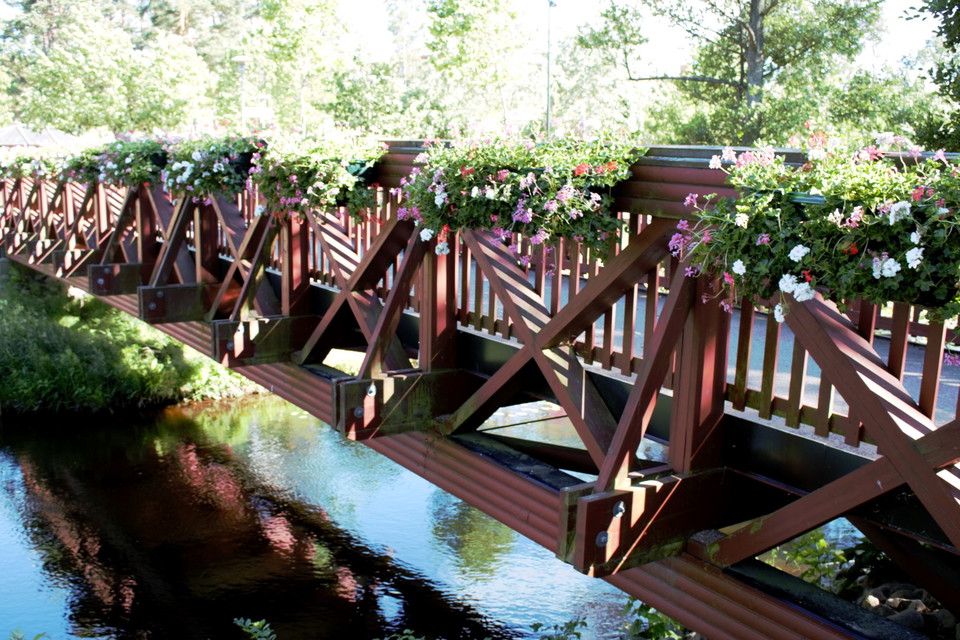
The PrÅmenade is a tour or health walk along the rivers in the center of Olofström where you pass several attractions such as Storlekplatsen, Citybryggan, Aniaraparken and Holje Park. There are also some meeting points where you can try different nature cha…

Walking

Stadsrundan

  • Municipality: Karlshamn
  • 6852.46 km away from you
  • 4.0 km

En mycket lättillgänglig runda på gång- och cykelvägar runt Karlshamns stadskärna. Hela rundan går på asfalt med bra framkomlighet för barnvagn och rullstol, små höjdskillnader. Rundan är belyst med gatlampor och kan användas även när det är mörkt.

Walking

Dragsö-Saltö

  • Municipality: Karlskrona
  • 6890.23 km away from you
  • 2.9 km
  • Difficulty: Red

Walking

Vandringstig Gissleviks våtmark

  • Municipality: Karlskrona
  • 6907.18 km away from you
  • 0.4 km

A short walk leading to the Gisslevik wetland and the bird watching tower. The walk has no signs. Please close all gates that you enter and respect the animals.

Hiking

Vit slinga

  • Municipality: Sölvesborg
  • 6860.31 km away from you
  • 4.3 km

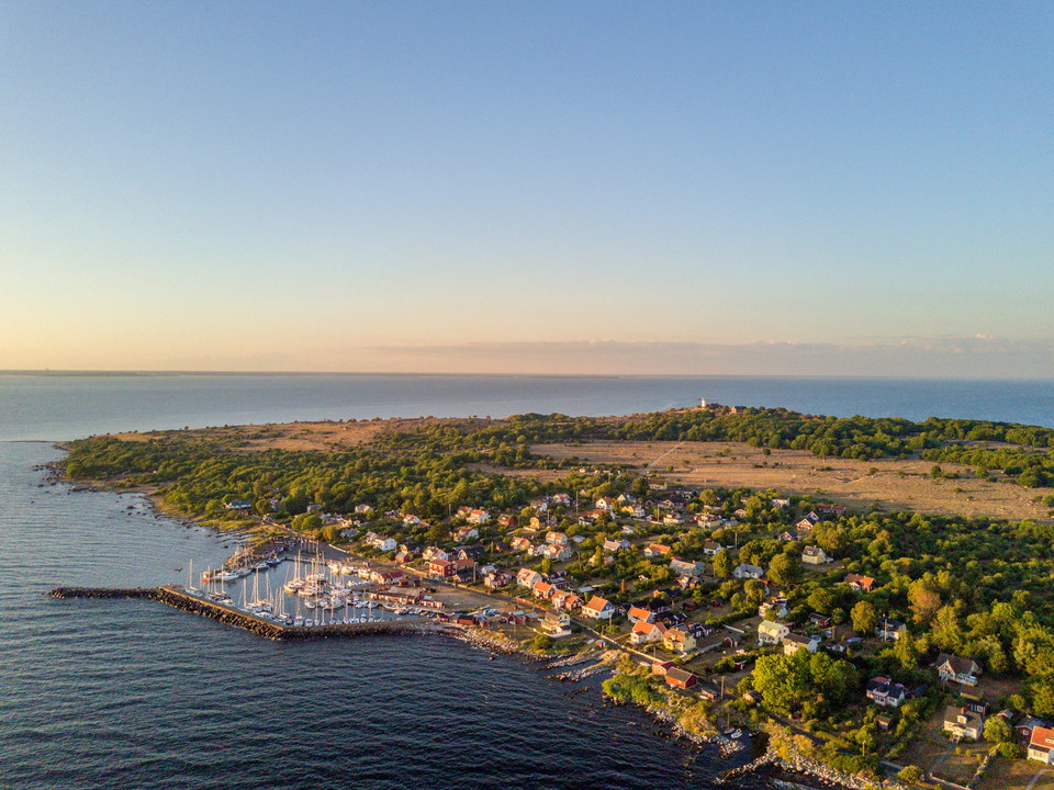
On Hanö there is one of Blekinge's largest hornbeam forests and the atmosphere in this is almost magical as the moss lies like a blanket over rocks and paths with ferns that grow a little here and there. Other parts of the island's overgrown parts are made…

Hiking

Ryssberget Vita led

  • Municipality: Sölvesborg
  • 6843.32 km away from you
  • 2.8 km

Ryssberget's white trail is 2.8 km long. The trail is suitable for cycling and hiking in beautiful beech forest. The surface is a nature trail and forest road where some parts are hilly forest terrain. Together with part of the Blekingeleden, it can be comb…

Hiking

Sölvesborg's golf course

  • Municipality: Sölvesborg
  • 6845.84 km away from you
  • 3.0 km

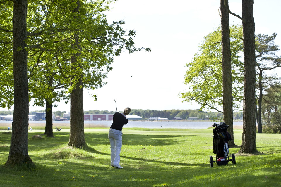
An experience even for non-golfers Regardless of whether you are a golfer or not, you now have the opportunity to enjoy one of Sweden's best golf courses up close. In the spring of 2022, Sölvesborgs Golfklubb will open a walking path that runs next to the g…

Hiking

Barmarksled, Listershuvud

  • Municipality: Sölvesborg
  • 6855.14 km away from you
  • 0.7 km

Längs den blåa leden kan du ta en avstickare längs stigen som har sitt namn efter alla kärleksförklaringar som finns inristade i de intilliggande träden. Listerhuvud är beläget mellan Hörvik i norr och Nogersund i söder. Naturreservatet rymmer både en slåen…

Naturkartan

Open this in the app