
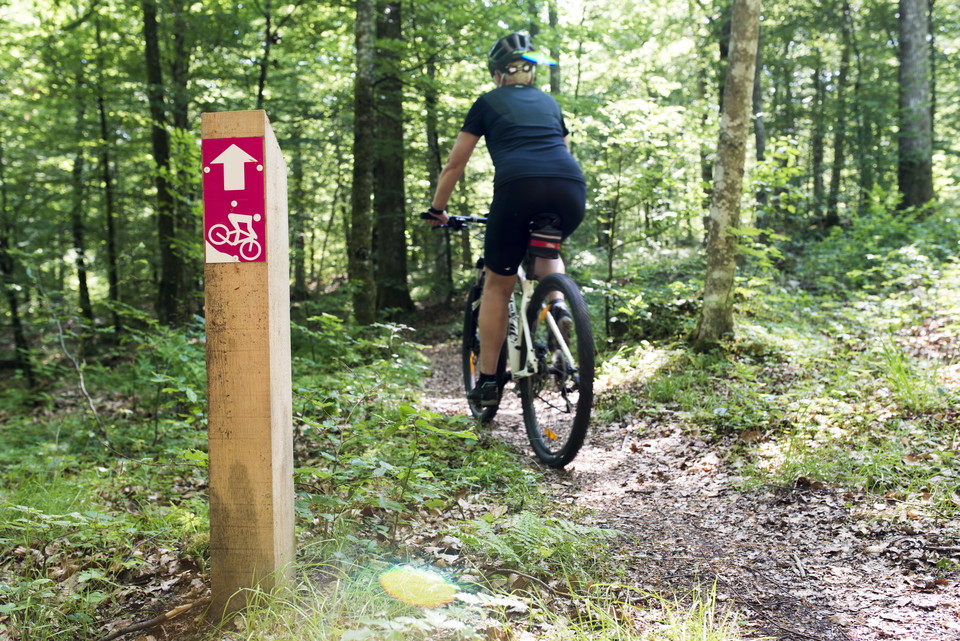
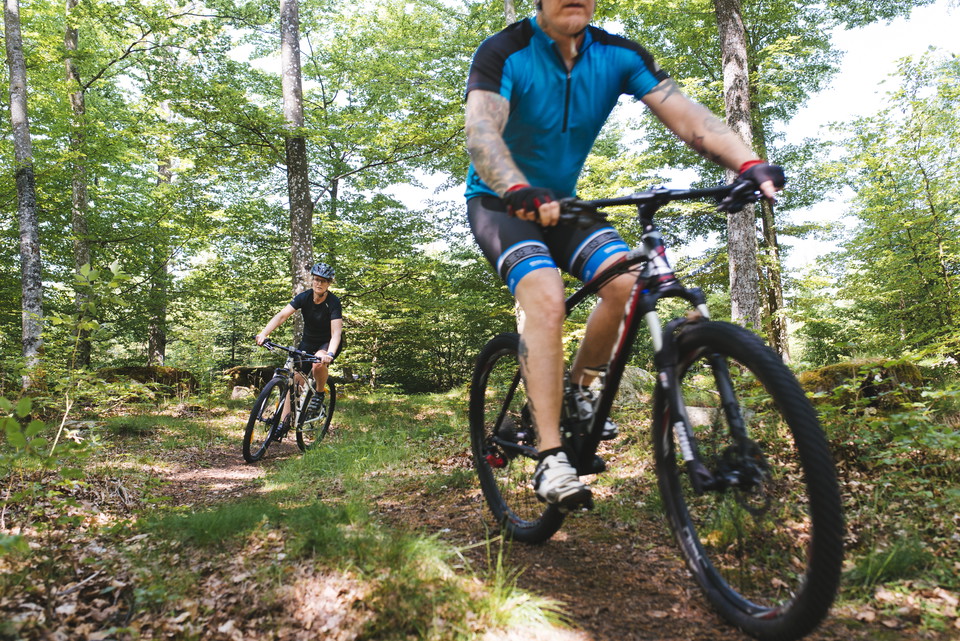
MTB-led
- Mountainbiking
- Near parking
- Circular trail
- County: Blekinge län
- 6829.19 km away from you
Trail details
- Length 4.3 km
Actions
Description

Activities And Facilities
- Mountainbiking
- Circular trail
Accessibility
- Near parking
Surface
Narrow paths in the forest.
Parking
Old ski slope parking with access from road 116/Rydvägen.
Directions
Vägvisning med skylt MTB-led från väg 116/Rydvägen.
Contact
Address
0454 - 930 00
Email address
Olofströms kommun
Please be aware that some of these texts have been automatically translated.
I’ve been here
I want to go here 2

Reviews
—
0 reviews
- 5 :
- 4 :
- 3 :
- 2 :
- 1 :
Questions & Answers
Ask a question to other Naturkartan users.
Users images
Share your photos of the place!
