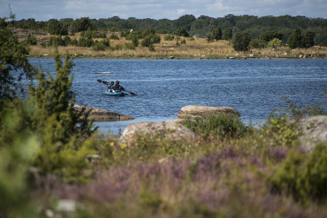
47 nature reserves in the Blekinge Archipelago Biosphere Reserve
You’ll find 47 nature reserves in the Blekinge Archipelago Biosphere Reserve, all of which offer…
Nature reserve
One of the southernmost outposts in Blekinge (that can be reached by car) with traces of the quarrying carried out here until the 1930s. The headland is covered by broadleaf woodland surrounded by coastal meadows used as grazing during the summer.
The headland is one of the best places in Blekinge to spot migratory birds, and 200,000 birds have been counted in one day here.
The rules for the nature reserve are shown in the link below, but, for example, you may not pitch a tent for more than 48 hours, light a fire other than in a place provided for the purpose, or drive a motor vehicle other than on the access road and in car parks.
Source: County Administrative Board
Year of protection: 1990
Municipality: Ronneby
Characteristics: Migratory bird site, oak forest, seashore meadow
Area: 75 hectares, of which 21 hectares are land and 54 hectares water
Landowners: The state and Ronneby municipality
Manager: Blekinge County Administrative Board
Form of protection: Nature reserve
Turn off the E22 at Listerby and drive towards Kuggeboda. Drive through Kuggeboda towards Korsanäs. Then follow the road signs to the nature reserve, “Lindö naturreservat”.
You are welcome to visit Lindö udde, but please note that it is not allowed to
Länsstyrelsen Blekinge

Please be aware that some of these texts have been automatically translated.
Ask a question to other Naturkartan users.