
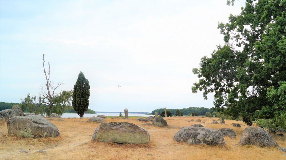
Hjortahammar grave field
- Culture
- Near parking
- County: Blekinge län
- 6885.15 km away from you
Actions
Description
Hjortahammar was a harbour and presumably an important marketplace as early as the Viking period, as we can tell from a system of underwater piles blockading access around the site dating from the late eleventh century. The oldest part of the grave field dates from the Early Iron Age (550 BCE – 375 CE) and there are about 120 visible ancient monuments preserved here, including burial mounds and stone ships and a standing stone 1.8 metres high.
The site was important as a harbour for local farmers into the seventeenth century but today it is a peaceful spot offering an excellent chance to spot the northern wheatear, thanks to the yellow lichen on the stones.
Source: Wikipedia
Activities And Facilities
- Culture
Accessibility
- Near parking
Contact
Address
Blekinge Arkipelag
Kurpromenaden 4
372 36 Ronneby
Email address
Team ARK56
Organization logotype

Please be aware that some of these texts have been automatically translated.
I’ve been here 1

I want to go here 2

Questions & Answers
Ask a question to other Naturkartan users.
Reviews
0 reviews
- 5 :
- 4 :
- 3 :
- 2 :
- 1 :
Users images
No user images yet. Be the first to share!
