
Hjortahammars gravfält
- Kulturelt miljø
- Parkering i nærheten
- Fylke: Blekinge län
- 6885.15 km fra deg
Handlinger
Beskrivelse
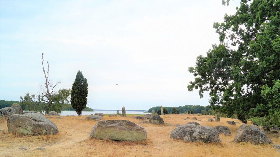
Hjortahammar was a harbour and presumably an important marketplace as early as the Viking period, as we can tell from a system of underwater piles blockading access around the site dating from the late eleventh century. The oldest part of the grave field dates from the Early Iron Age (550 BCE – 375 CE) and there are about 120 visible ancient monuments preserved here, including burial mounds and stone ships and a standing stone 1.8 metres high.
The site was important as a harbour for local farmers into the seventeenth century but today it is a peaceful spot offering an excellent chance to spot the northern wheatear, thanks to the yellow lichen on the stones.
Source: Wikipedia
Aktiviteter og fasiliteter
- Kulturelt miljø
Tilgjengelighet
- Parkering i nærheten
Kontakt
Adresse
Blekinge Arkipelag
Kurpromenaden 4
372 36 Ronneby
E-postadresse
Team ARK56
Organisasjonens logotype

Jeg har vært her 1

Jeg ønsker å dra hit 2

Spørsmål og svar
Still et spørsmål til andre brukere av Naturkartan.
Omtaler
0 anmeldelser
- 5 :
- 4 :
- 3 :
- 2 :
- 1 :
Brukernes bilder
Ingen brukerbilder ennå. Bli den første til å dele!
