
ARK56
Connected coastal trails in a UNESCO biosphere ...

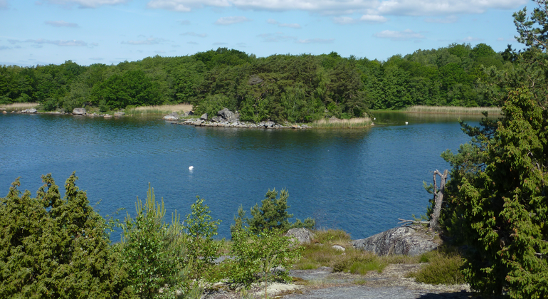
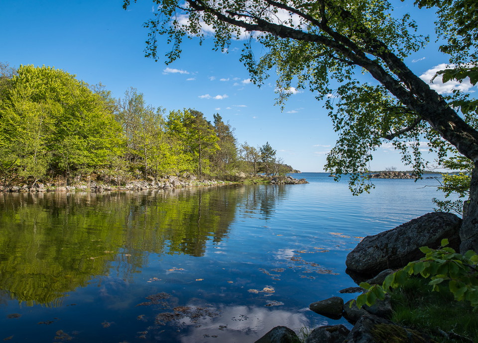
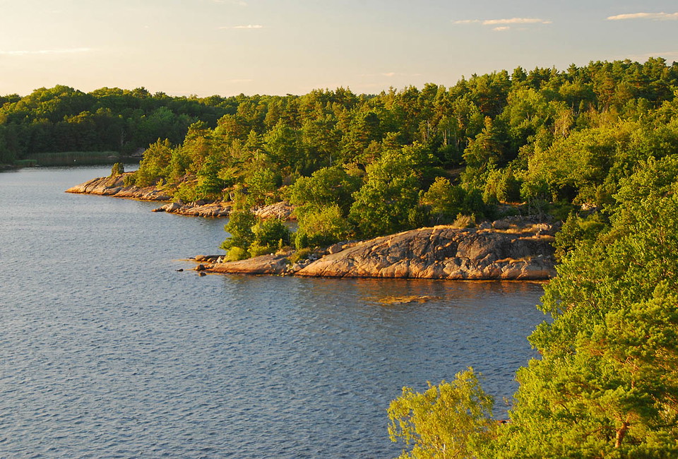
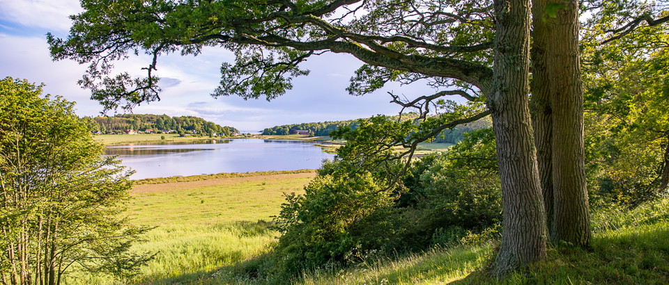
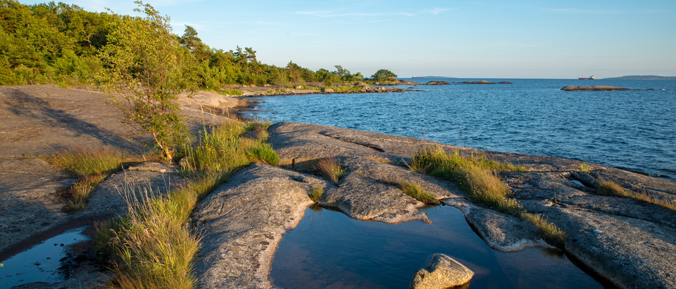
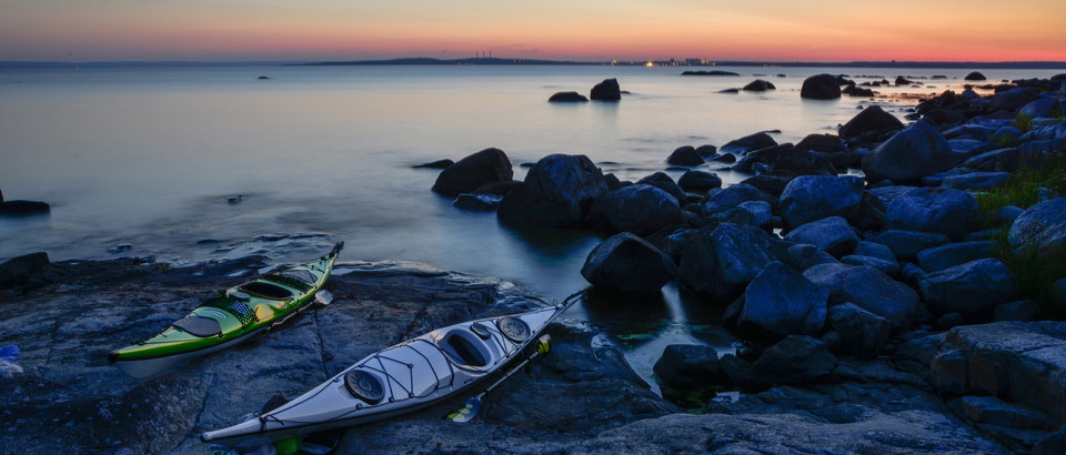
The Eriksbergs stränder nature reserve runs outside Eriksberg wildlife park, and provides beautiful walks along the coast. The Allböle trail (in the app) offers glorious evening sun and views for miles. The Kohage trail includes beautiful beechwoods running right down to the water’s edge. The islands of Bockö and Mjöö are popular with boat owners.
Western marsh harriers and ospreys nest here, white-tailed sea-eagles are often seen and many migratory birds pass through the area. There are also at least 15 species of bat.
The rules for the nature reserve are shown in the link below, but, for example, you are not allowed to park in a caravan, drive a motor vehicle, moor a boat or pitch a tent for more than 2 days, make a fire other than in a designated spot or travel by boat at a speed higher than 5 knots within 150 metres of the shore.
Source: County Administrative Board
Year of protection: 1976
Municipality: Karlshamn
Character: Coastal and archipelago landscape with deciduous forest, pine forest, deciduous swamp forest, rocky ground forest, juniper land, pasture, grassland, seashore meadow, rocky ground, sea, islands and islands; cultural history with e.g. peat remains; outdoor recreation
Area: Just over 411 hectares, of which 128 hectares are land
Landowner: Eriksberg Vilt & Natur AB
Manager: Blekinge County Administrative Board
Form of protection: Nature reserve and Natura 2000
From the E22, follow the signs to Eriksberg south of Åryd between Hällaryd and Bräkne-Hoby to reach Östra udden, the eastern side of the promontory. An alternative route is to leave the E22 towards Matvik and follow the signs to Västra udden, the west side.
You are welcome to visit the beaches of Eriksberg, but please note that it is not allowed to
Länsstyrelsen Blekinge
Please be aware that some of these texts have been automatically translated.










Ask a question to other Naturkartan users.
0 reviews
No user images yet. Be the first to share!