Naturkartan-appen kan behöva uppdateras för vissa användare

Användare av Naturkartans app för Android rapporterar i sommar att appen är seg mm. Vi rekommenderar att man raderar appen helt från sin telefon i så fall och laddar ned igen! Då skall den fungera bättre. Den befintliga appen skall ersättas av en ny app efter sommaren. Den gamla appen laddar all data för hela landet lokalt i appen (för att klara offline-läge) men det innebär att den blir för stor för vissa telefoner - då behöver den raderas och laddas ned igen!

Brun led Sydkoster

  • Hiking
of 5 stars

Trail details

  • Length 2.3 km

Actions

Description

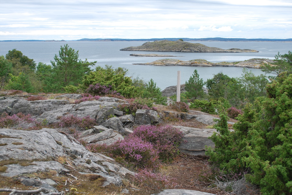
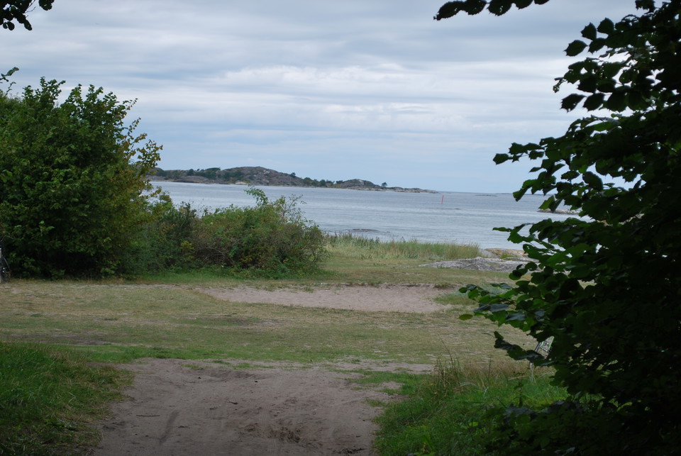
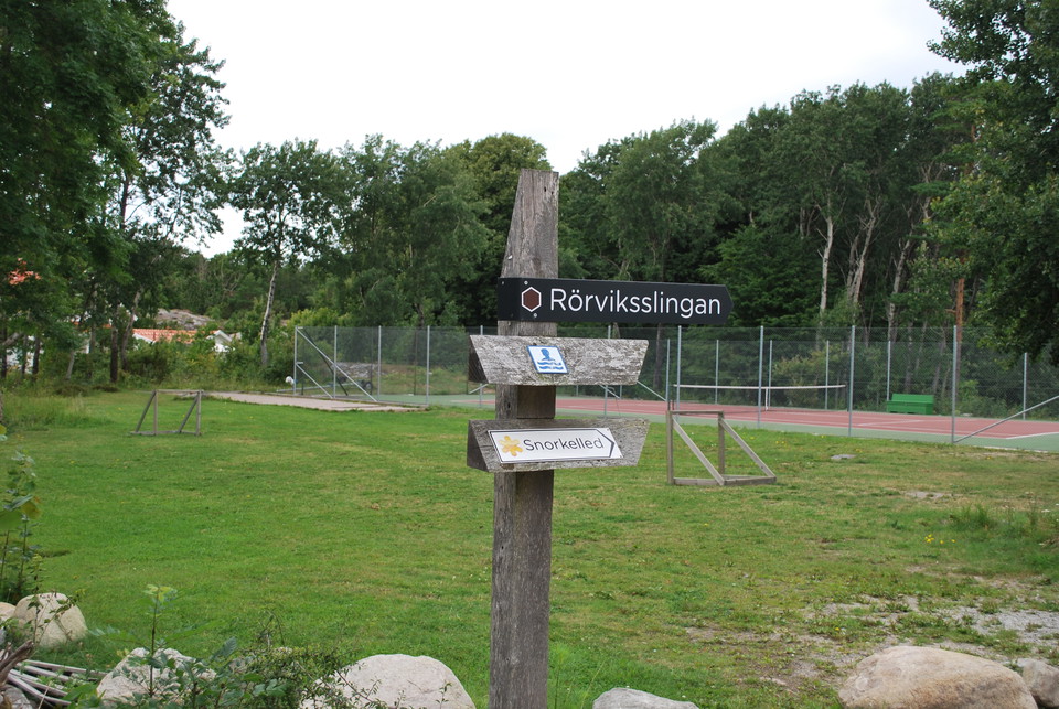
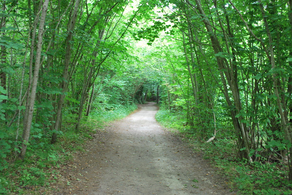
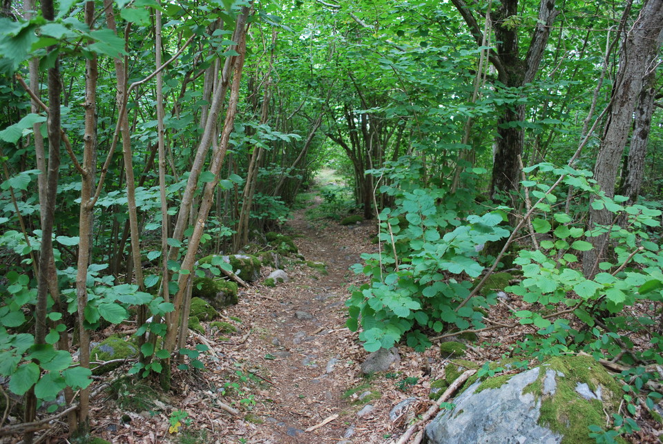
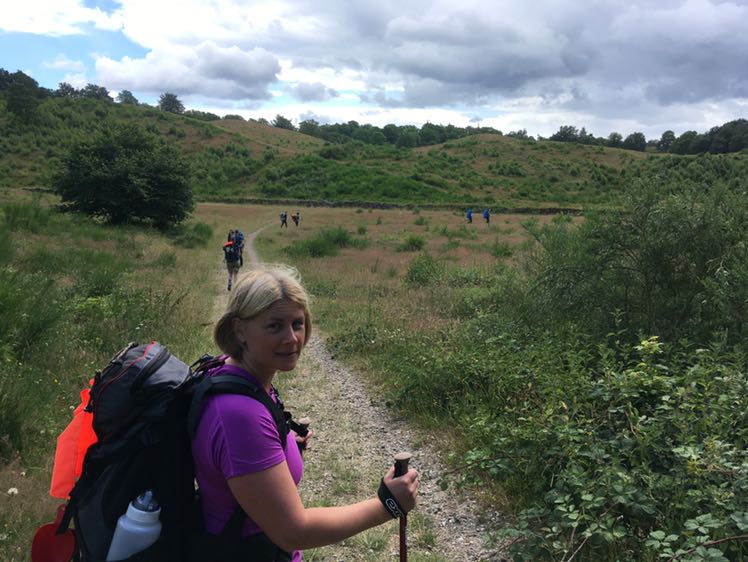
The brown trail starts at Naturum. The very first part, up a steep hill with an asphalt road, you walk parallel to the yellow and blue trail. Before the tennis court, turn off towards Rörvik and follow a wider forest path down to the sea. Here you then turn left and follow the sand and rocks of Rörvik beach. This is also a nice place for a swim. Just before the snorkeling trail, the brown trail turns left up the mountain. Here is a short steep passage. Soon it slopes down and you come to the road where the blue trail also comes out. If you want to extend your hike, you can turn right and follow the blue trail towards Långegärde, otherwise follow the brown trail to the left and walk the gravel road through a residential area. Soon you will reach the tennis court again. At the asphalt road, the brown trail turns left and you follow the hill downhill back to the nature center.

Weather forecast (at 12:00)

Loading...

Get here by public transport

Activities And Facilities

  • Hiking

Contact

Email address

Please be aware that some of these texts have been automatically translated.

I’ve been here 3
I want to go here

Questions & Answers

Ask a question to other Naturkartan users.

Reviews

0 reviews

of 5 stars

5 :
0.0%
4 :
0.0%
3 :
0.0%
2 :
0.0%
1 :
0.0%

Users images

No user images yet. Be the first to share!

Naturkartan

Open this in the app