
Fontin - Grandalen, Bohusleden Etapp 7
- Hiking
- Near parking
- Near toilet
- County: Västra Götalands län
- 6604.74 km away from you
Trail details
- Length 16.4 km
- Time 7 h
- Difficulty Blue - medium
Actions
Description
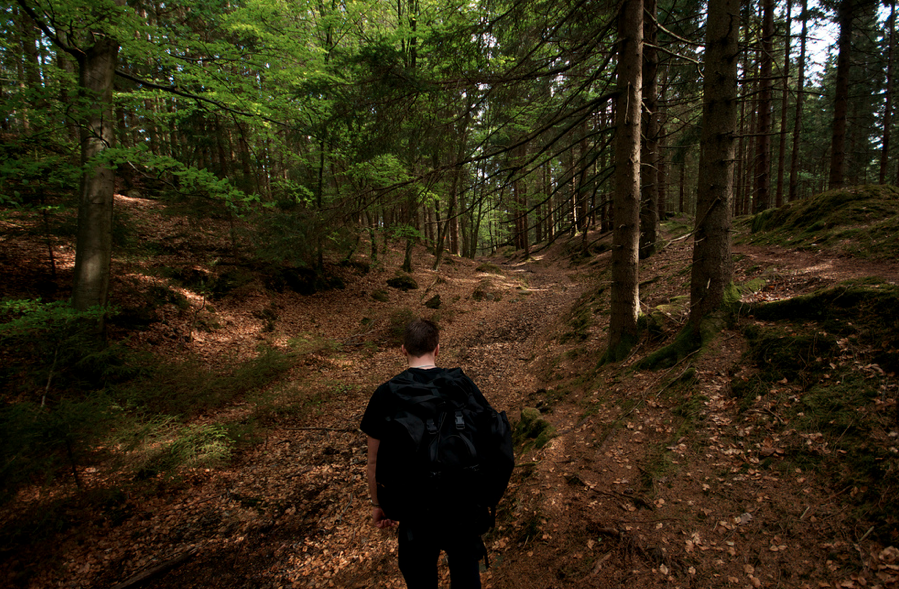
Moderate hike, in a nature reserve for a total of 19 kilometers in Kungälv. The hike takes place in deciduous forests and over a wooded mountain plateau.
On the way: The popular Kärleksstigen trail runs along the mountainside towards Nordre älv. Beautiful views of Kungälv, the rivers and Bohus Fortress. Svarte Mosse is a waterlogged lake. If you climb to the top of Aleklätten, you reach just over 134 meters above sea level and get to see a staggeringly beautiful view of the surroundings. There is a rest area at Romesjön or Dalen.
Photo: Staffan Edvardsson (CCBY2.0)
Bohusleden consists of 27 stages that offer a total of about 35 miles of varied hiking through Bohuslän's beautiful nature. The trail stretches from Älvsåker in the south, on the border with Halland, to Strömstad in the north.
Activities And Facilities
- Hiking
Accessibility
- Near parking
- Near toilet
Please be aware that some of these texts have been automatically translated.
I’ve been here 29


I want to go here 61










Questions & Answers
Ask a question to other Naturkartan users.
Reviews
1 review
- 5 :
- 4 :
- 3 :
- 2 :
- 1 :
Users images
No user images yet. Be the first to share!

Vid rastplatsen i Dalen, ca 2 km innan Grandalen ligger Dalens hembyggdsgård. Här finns toalett samt möjlighet att fylla vatten (besökt i juli 2020). Gör man detta finns också möjlighet att donera en slant via swish, se skylt.