
Änggårdsbergen
- Hiking
- Biking
- Running
- Stroller accessible
- Near parking
- Near Public Transport
- Near toilet
- Public Transport
- Firesite
- Information
- Toilet
- Parking
- County: Västra Götalands län
- 6617.50 km away from you
Actions
Description
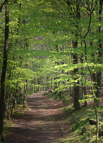
Änggårdsbergen is located adjacent to the Botanical Garden. The area consists of a high plateau, broken by valleys. Scrub oak, birch and pine grow along the ridges, while the valleys contain deciduous forests and hazel. The heather moors, which dominate the rocky areas, are burnt every ten years. There are a number of small forest lakes in the area with a rich bird life. There are good paths to hike on and up on the hill you have a nice view of the western parts of Gothenburg.
Activities And Facilities
- Biking
- Running
- Hiking
- Public Transport
- Firesite
- Information
- Toilet
- Parking
Accessibility
- Stroller accessible
- Near parking
- Near Public Transport
- Near toilet
Directions
Nearest stops: Botanical Garden, Södermalmsgatan, Distansgatan, J A Wettergrens gata.
Contact
Email address
Kontakta Naturkartan
Organization logotype

Please be aware that some of these texts have been automatically translated.
I’ve been here 32
















I want to go here 25




Questions & Answers
Ask a question to other Naturkartan users.
Reviews
1 review
- 5 :
- 4 :
- 3 :
- 2 :
- 1 :
Users images
No user images yet. Be the first to share!
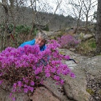

Vi startade vid Eklanda, upp på berget och fina vandringsleder.