
-
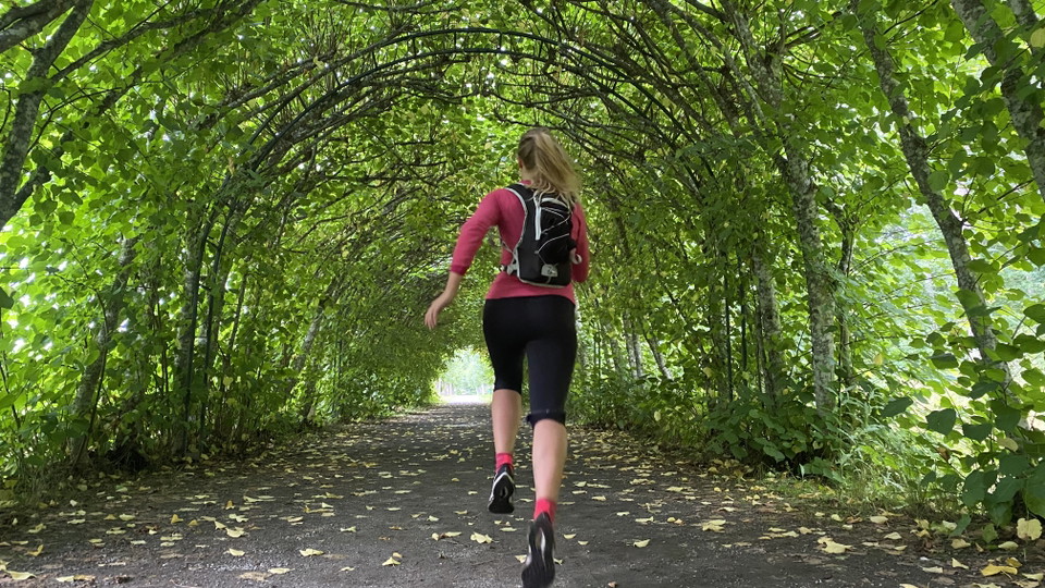
Spring eller vandra Ängsö runt -

Foto: Per Groth -

Foto: Roger Borgelid -

Vackra torp och gårdsmiljöer -

Foto: Roger Borgelid -

Ängsöslott -

Möts av hungriga vänner -

Naturliga skogsstigar -
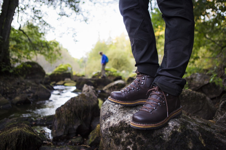
Foto: Roger Borgelid -

Foto: Bob Luijks
Västerås — Trail loop around Ängsö island
- Hiking
- Trail running
- Near toilet
- Circular trail
- County: Västmanlands län
- 6764.71 km away from you
Trail details
- Length 23.0 km
- Time 8 h
Actions
Description
Activities And Facilities
- Hiking
- Trail running
- Circular trail
Accessibility
- Near toilet
Surface
Natural forest paths mixed with sections on gravel roads.
Directions
Ängsö island is located about 20 km southeast of Västerås and just over an hour's drive from Stockholm. It’s accessed from the mainland by a bridge.
From Västerås, drive on the E18 towards Stockholm. Turn off at Hällamotet, exit 139. Then follow the signs to Irsta. Continue through Irsta and turn right at the sign for Ängsö. Follow the signs to Ängsö.
From Stockholm, drive on the E18 towards Oslo. Turn off at exit 140. Follow the signs for Ängsö.
Regulations
Please keep in mind that Ängsö is a nature reserve, and there may be special rules for what you can and cannot do. Always follow the instructions on the signs and be sure to consult the website Länsstyrelsen Västmanlands Län for more information.
Downloads
Contact
Email address
Organization logotype

Please be aware that some of these texts have been automatically translated.
I’ve been here 15




I want to go here 37




Questions & Answers
Ask a question to other Naturkartan users.
Reviews
0 reviews
- 5 :
- 4 :
- 3 :
- 2 :
- 1 :
Users images
No user images yet. Be the first to share!
