
-
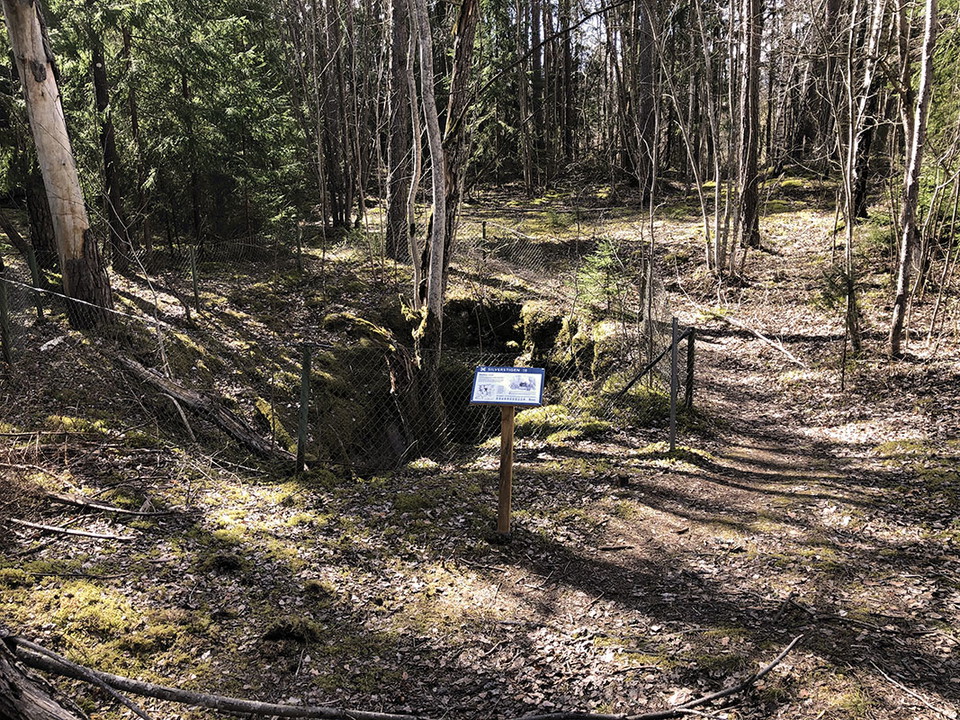
Photo: Ulrika Mogren -
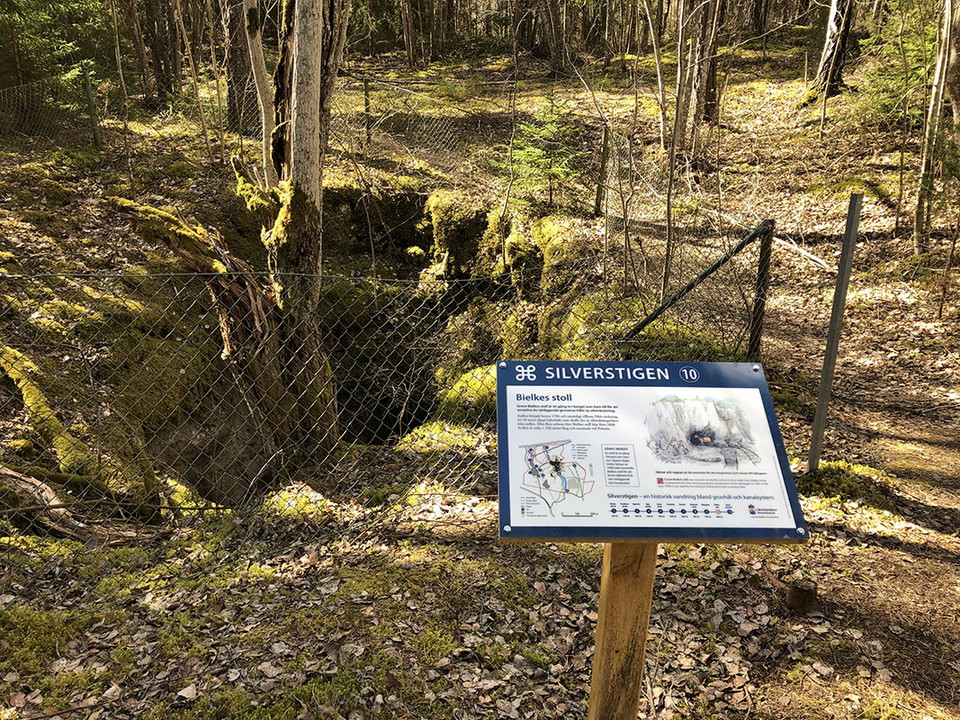
Photo: Ulrika Mogren
Informationstavla, Silverstigen
- Information
- Near Public Transport
- County: Västmanlands län
- 6731.78 km away from you
Actions
Tavla nummer 10 – Bielkes stoll
Description
Information board number 10 tells about Bielkes stoll
Count Bielke's gallery is a passage in the mountain that was built to dewater the nearby mines for new silver mining. Mining began in 1784 and at the same time Pihl's sinking was added, a 20-meter-deep air shaft that would draw out the smokestack from the gallery. After several interruptions, Bielkes Stollen was not completed until 1868. The tunnel is about 1,220 meters long and opened at Pråmån.
Activities And Facilities
- Information
Accessibility
- Near Public Transport
Contact
Address
Kontakta mig om du har frågor om Naturkartan Västmanland.
Email address
Daniel Anundi
Organization logotype

Please be aware that some of these texts have been automatically translated.
I’ve been here
I want to go here
Questions & Answers
Ask a question to other Naturkartan users.
Reviews
0 reviews
- 5 :
- 4 :
- 3 :
- 2 :
- 1 :
Users images
No user images yet. Be the first to share!
