
-
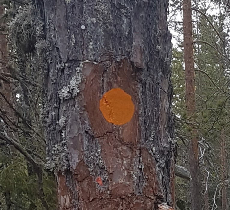
Ledmarkering målad mer orange färg på träd
Photo: Anders Erlandsson, Friluftsenheten -
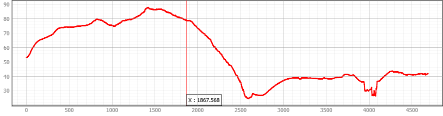
Höjdprofil Runsvik-Matfors
Photo: Sundsvalls kommun
Mittnordenleden Runsvik-Matfors
- Hiking
- County: Västernorrlands län
- 6620.13 km away from you
Trail details
- Length 4.7 km
Actions
Description
Hiking trail between Runsvik and Matfors via Ängom. The trail runs on path, forest road and car road. The stretch does not offer any major slopes. Just before Ängom, the trail passes through a pillared hall with giant pines that frame the trail in a very majestic way. You can get to Runsvik by bus line 142 between Matfors and Sundsvall. The stop is called Tuna. To Matfors you take the same line, or line 141. They both arrive at the stop Matfors bstn.
Activities And Facilities
- Hiking
Please be aware that some of these texts have been automatically translated.
I’ve been here
I want to go here 6

Questions & Answers
Ask a question to other Naturkartan users.
Reviews
0 reviews
- 5 :
- 4 :
- 3 :
- 2 :
- 1 :
Users images
No user images yet. Be the first to share!
