
Hälsans stig - Örnsköldsvik
- Hiking
- Walking
- Running
- Wheelchair accessible
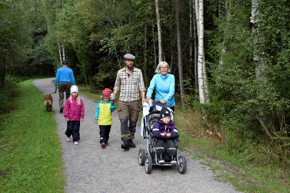
- Stroller accessible
- Near parking
- Near Public Transport
- Circular trail
- County: Västernorrlands län
- 6640.87 km away from you
Trail details
- Length 7.0 km
Actions
Description
Activities And Facilities
- Walking
- Running
- Hiking
- Circular trail
Accessibility
- Wheelchair accessible
- Stroller accessible
- Near parking
- Near Public Transport
Facts
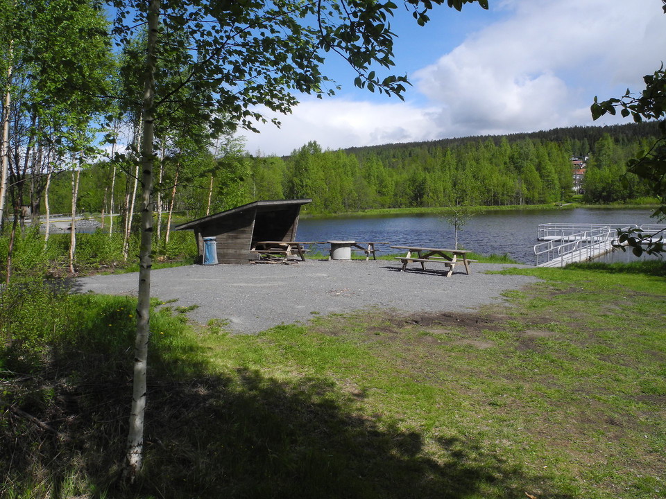
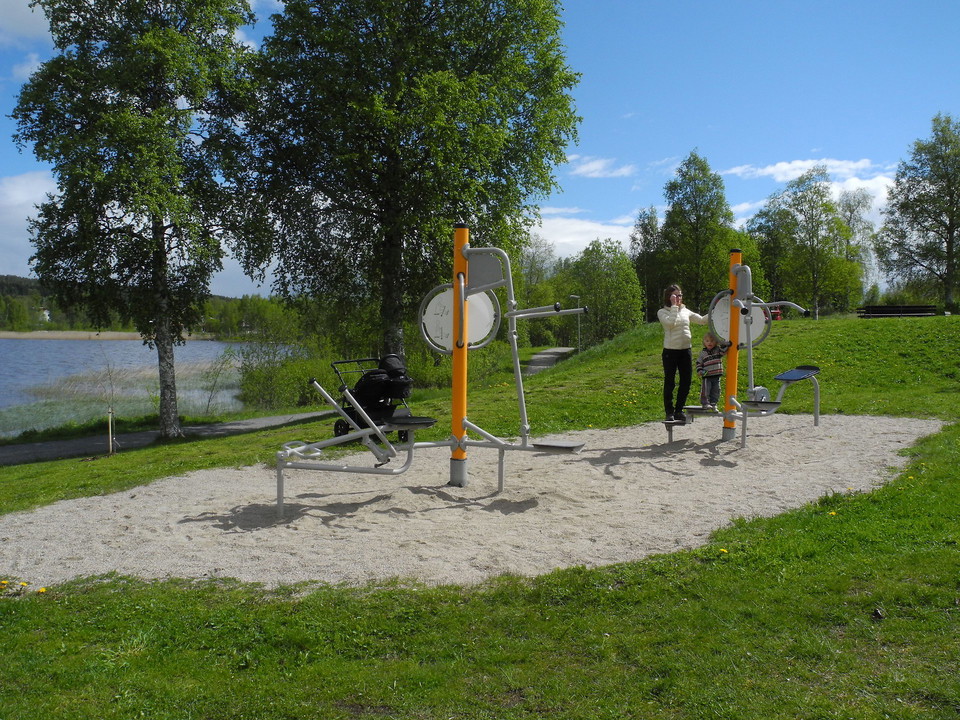
Hälsans stig in Örnsköldsvik is 7 km long in total, but can be divided into two loops of 3.4 km and 4 km each. The trail was inaugurated on September 10, 2000.
Surface
Hard packed gravel.
Hills
Mestadels plan mark. Någon mindre sluttning.
Directions
By car: From E4, drive towards Björna. In the center of Gullänget turn off towards Gimåt. On the north side of the lake you have a parking lot. By bus: take the bus line towards Kroksta and get off at one of the stops in Gullänget center. From here it is about 100 m to walk to the trail.
Contact
Address
Det är kommunen som skapar och sköter om Hälsans stig. Men det är Riksförbundet HjärtLung som står bakom konceptet. Mer information, besök hjart-lung.se
Email address
Riksförbundet HjärtLung
Organization logotype
Please be aware that some of these texts have been automatically translated.
I’ve been here 6



I want to go here 4
Reviews
—
1 review
- 5 :
- 4 :
- 3 :
- 2 :
- 1 :
Questions & Answers
Ask a question to other Naturkartan users.
Users images
Share your photos of the place!

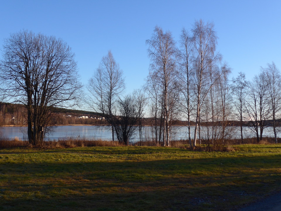
En härlig promenad runt Höglandssjön, som jag gick en solig förmiddag i slutet av november 2016. Denna Hälsans Stig var mycket välskött.