
-
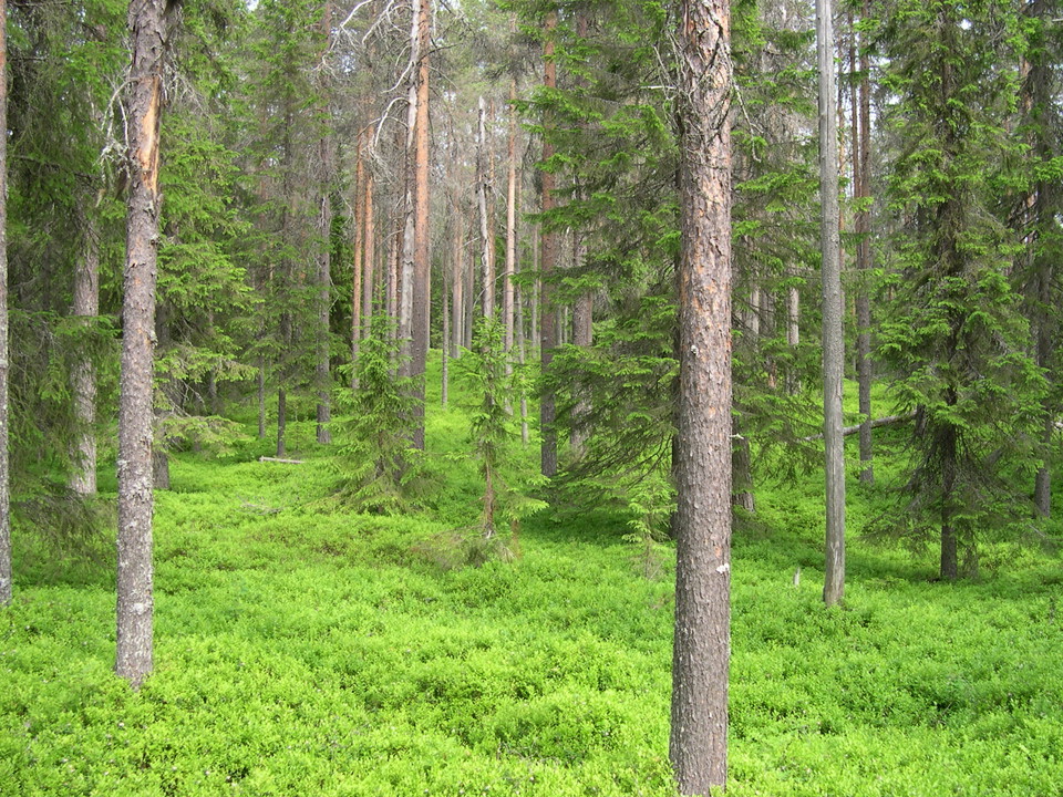
Photo: Andreas Garpebring
Stensvattsberget
- Nature reserve
- County: Västerbottens län
Actions
Description
A mountain massif with two ridges with marshes in between. The reserve's forests consist largely of natural coniferous forests. The area is almost entirely above the highest coastline, about 265 meters above sea level. When the sea level was at its highest after the Ice Age, the reserve was on the shore of an island.
Activities And Facilities
- Nature reserve
Directions
Åk väg 92 västerut från Bjurholm. Ta av söderut mellan Balåker och Balsjö mot Ljusåker. Ta av mot Stensvattnet efter ca sju kilometer.
Contact
Email address
Länsstyrelsen Västerbotten
Organization logotype

Please be aware that some of these texts have been automatically translated.
I’ve been here 4


I want to go here 1

Questions & Answers
Ask a question to other Naturkartan users.
Reviews
0 reviews
- 5 :
- 4 :
- 3 :
- 2 :
- 1 :
Users images
No user images yet. Be the first to share!
