
-
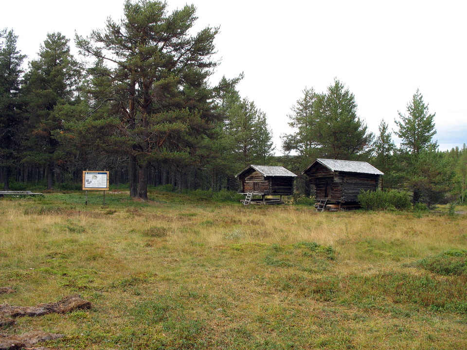
Photo: Frida Björkelid -
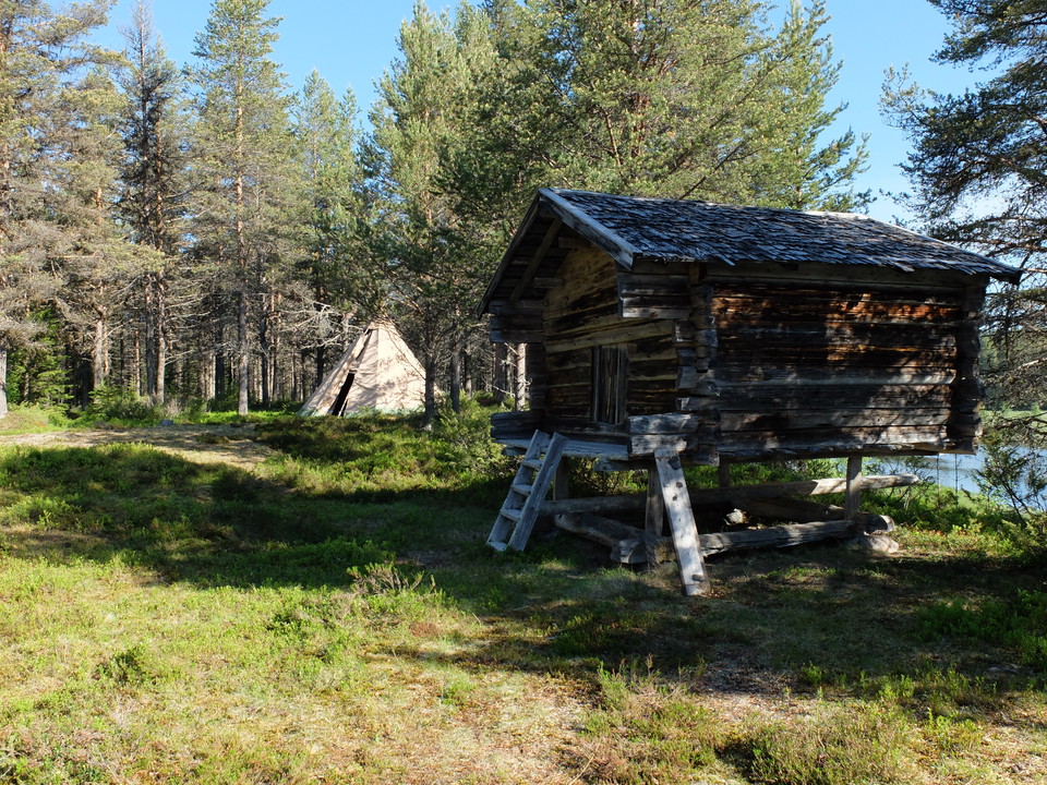
Photo: Frida Björkelid -
Photo: Frida Björkelid
Koppsele
- Nature reserve
- County: Västerbottens län
Actions
Description
Koppsele is located by the river Malån and is one of Malås oldest Sami settlements. As far back as 1671, a "vistet" is mentioned on maps of the area. There is a fine old pine forest around the site. From the parking lot there is a 2 km long hiking trail to the show. On the site there is a hut and several other old Sami buildings that have been moved there in recent times.
Activities And Facilities
- Nature reserve
Directions
The reserve is located 15 km northwest of Malå. From the end of the road at Bölevallen there is a 2 km long path to the reserve.
Contact
Email address
Länsstyrelsen Västerbotten
Organization logotype

Please be aware that some of these texts have been automatically translated.
I’ve been here 3

I want to go here 3
Questions & Answers
Ask a question to other Naturkartan users.
Reviews
0 reviews
- 5 :
- 4 :
- 3 :
- 2 :
- 1 :
Users images
No user images yet. Be the first to share!
