Kalvträsklederna
Hiking
- County: Västerbottens län
- 7361.79 km away from you
Trail details
- Length 50.0 km
Actions
Currently
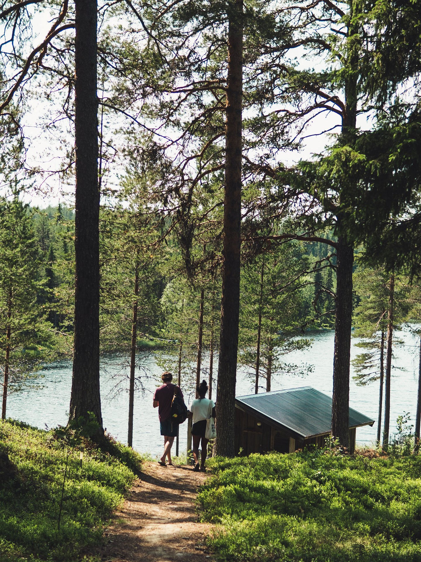
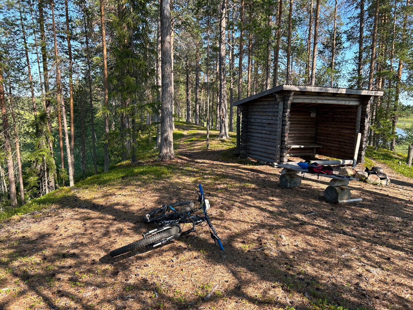
There is also a shorter stretch along Lake Kalvträsket that is adapted for those with reduced mobility or pushchairs. In the village of Avaberg there is a boathouse, shelter and fireplace.
Description
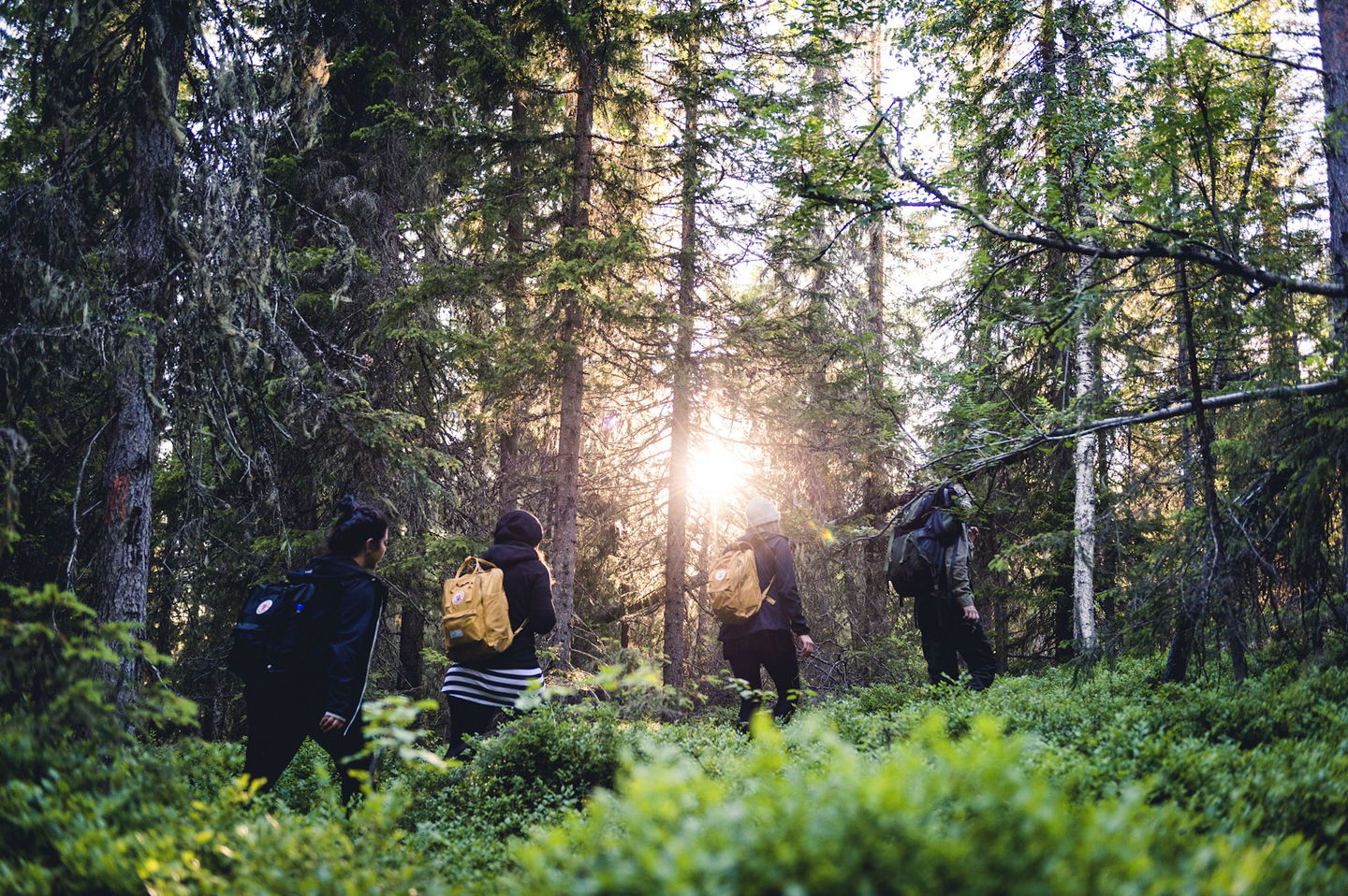
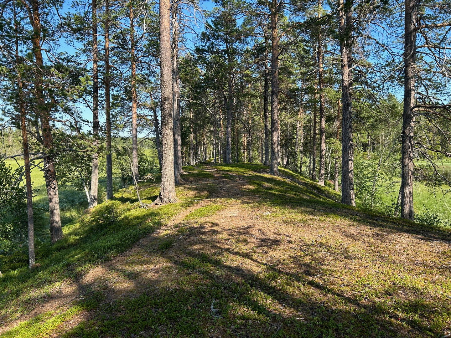
In Kalvträsk there are many opportunities for outdoor activities of various kinds, including hiking in a beautiful and hilly forest environment. There are eight hiking trails and start at Kalvträsk Wilderness Camp.
Activities And Facilities
-
Hiking
Accessibility
-
Stroller accessible
-
Wheelchair accessible
Facts
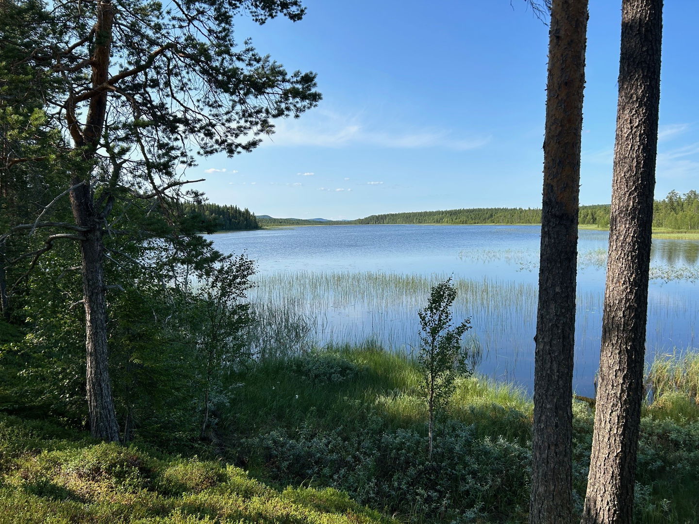
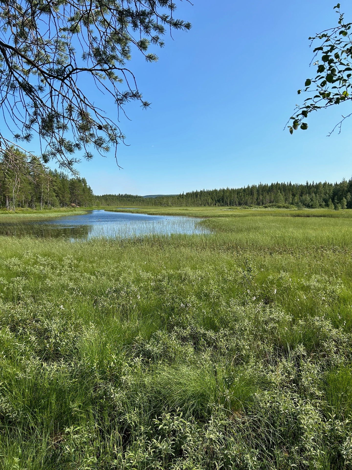
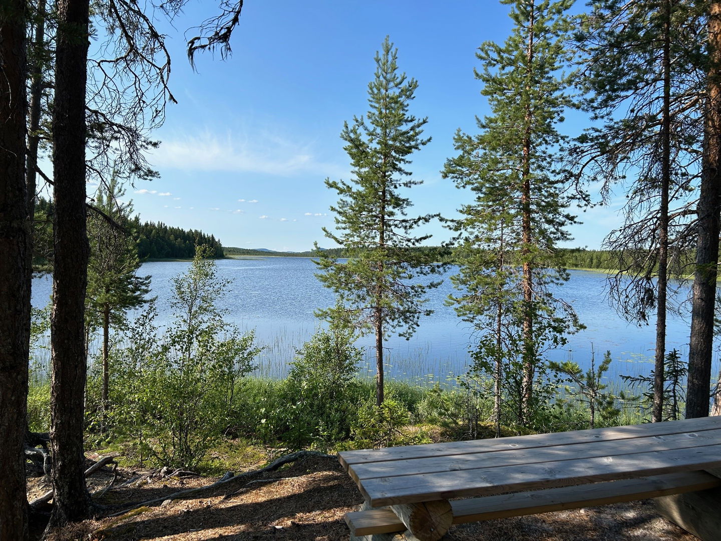
The trails go over hills, streams and rivers, through forests and marshes with a view of Avaberg with beautiful views of the lakes Holmträsket and Vitträsket. The main trail is structured so that you can walk shorter loops if you wish, ranging from two kilometers to one mile.
Surface
forest path, gravel road, asphalt, forest road
Hills
Varied
Parking
At Kalvträsk wilderness camp
Directions
from Burträsk about 50 km in a south-westerly direction
Contact
Email address
Kundtjänst Skellefteå kommun
Organization logotype

Please be aware that some of these texts have been automatically translated.
Questions & Answers
Ask a question to other Naturkartan users.


