
-
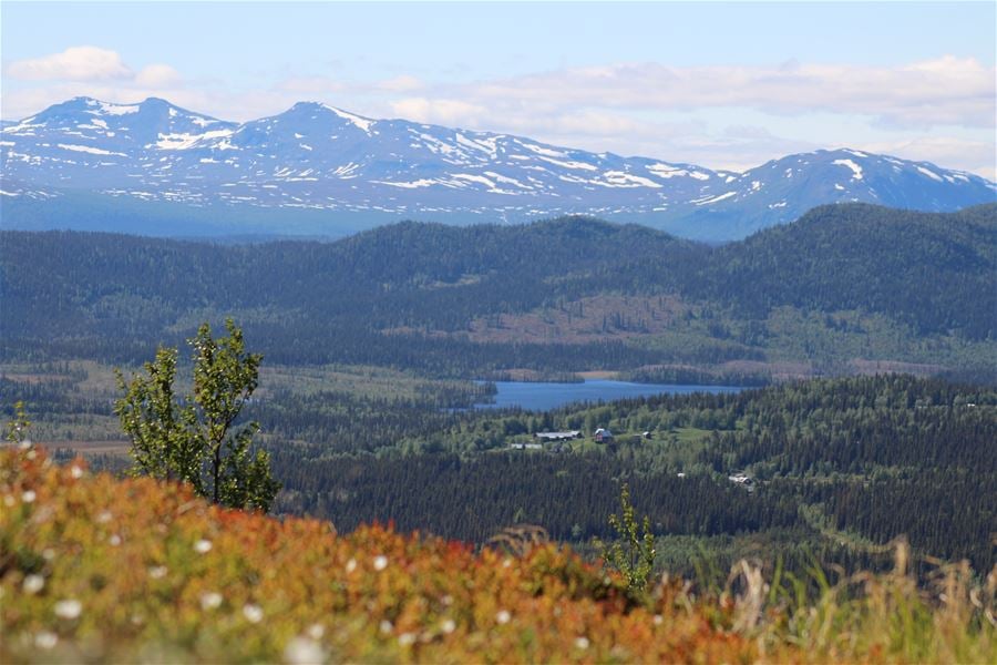
Utsikt från toppen
Gippmokkhobben
- Top
- Hiking
- County: Västerbottens län
- 6437.25 km away from you
Actions
Description
The path starts through old spruce forest and quickly becomes steeper. Once at the top, you are rewarded with a fantastic panoramic view of snow-capped mountain peaks to the west and vast forests and lakes. Wear good shoes and pack a backpack with mosquito repellent, camera and good coffee. The distance from the center of Storuman to the start of the trail is about 57 kilometers.
Activities And Facilities
- Hiking
- Top
Directions
On the winding gravel road between Ullisjaure and Harrvik there is a sign, where the trail begins, with Gippmokkhobben 1 km.
Contact
Address
Storumans kommun
Blå vägen 242
923 81 Storuman
Email address
Madeleine Rinman
Please be aware that some of these texts have been automatically translated.
I’ve been here 3

I want to go here 2
Questions & Answers
Ask a question to other Naturkartan users.
Reviews
0 reviews
- 5 :
- 4 :
- 3 :
- 2 :
- 1 :
Users images
No user images yet. Be the first to share!
