
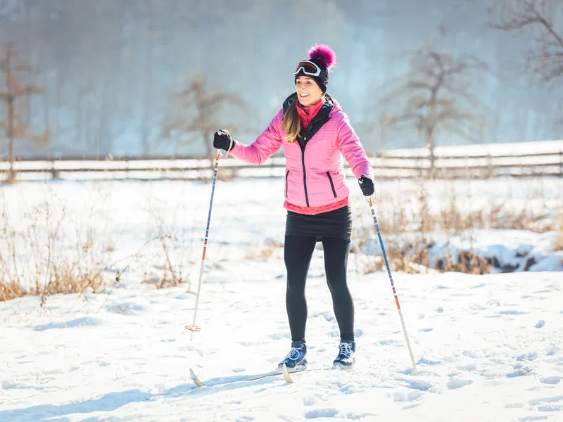
Drängsmark elljusspår
- Skiing
- County: Västerbottens län
- 6646.84 km away from you
Trail details
- Length 2.81685531 km
Actions
Description
The illuminated trail in Drängsmark, maintained by Drängsmarks IF, starts at the school, centrally located along the main street through Drängsmark. It goes through relatively easy terrain and circles around Dödmanstjärnen, among other areas.
Activities And Facilities
- Skiing
Contact
Email address
Kundtjänst Skellefteå kommun
Organization logotype

I’ve been here
I want to go here
Questions & Answers
Ask a question to other Naturkartan users.
Reviews
0 reviews
- 5 :
- 4 :
- 3 :
- 2 :
- 1 :
Users images
No user images yet. Be the first to share!
