-
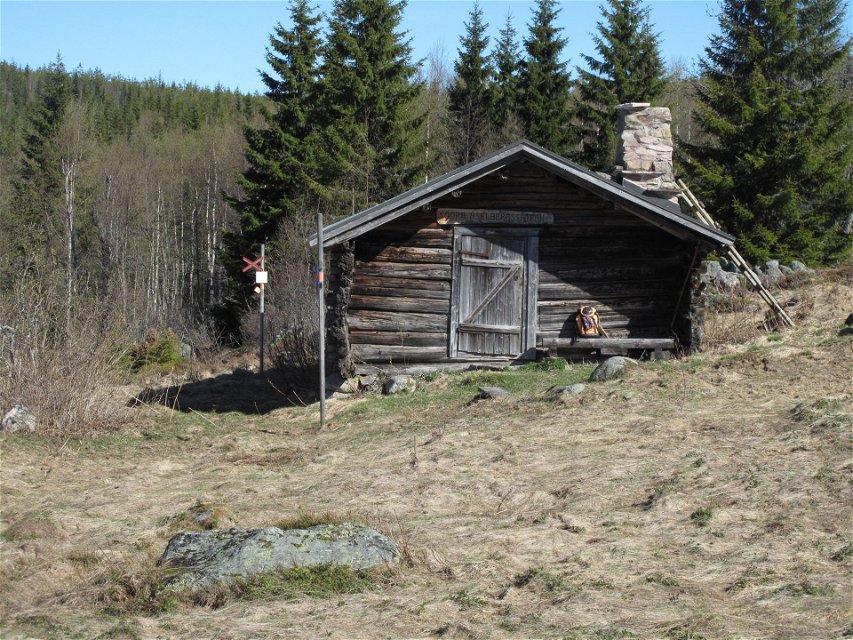
Stuga S Åselbergssätern
Photo: Jan Nilsson -

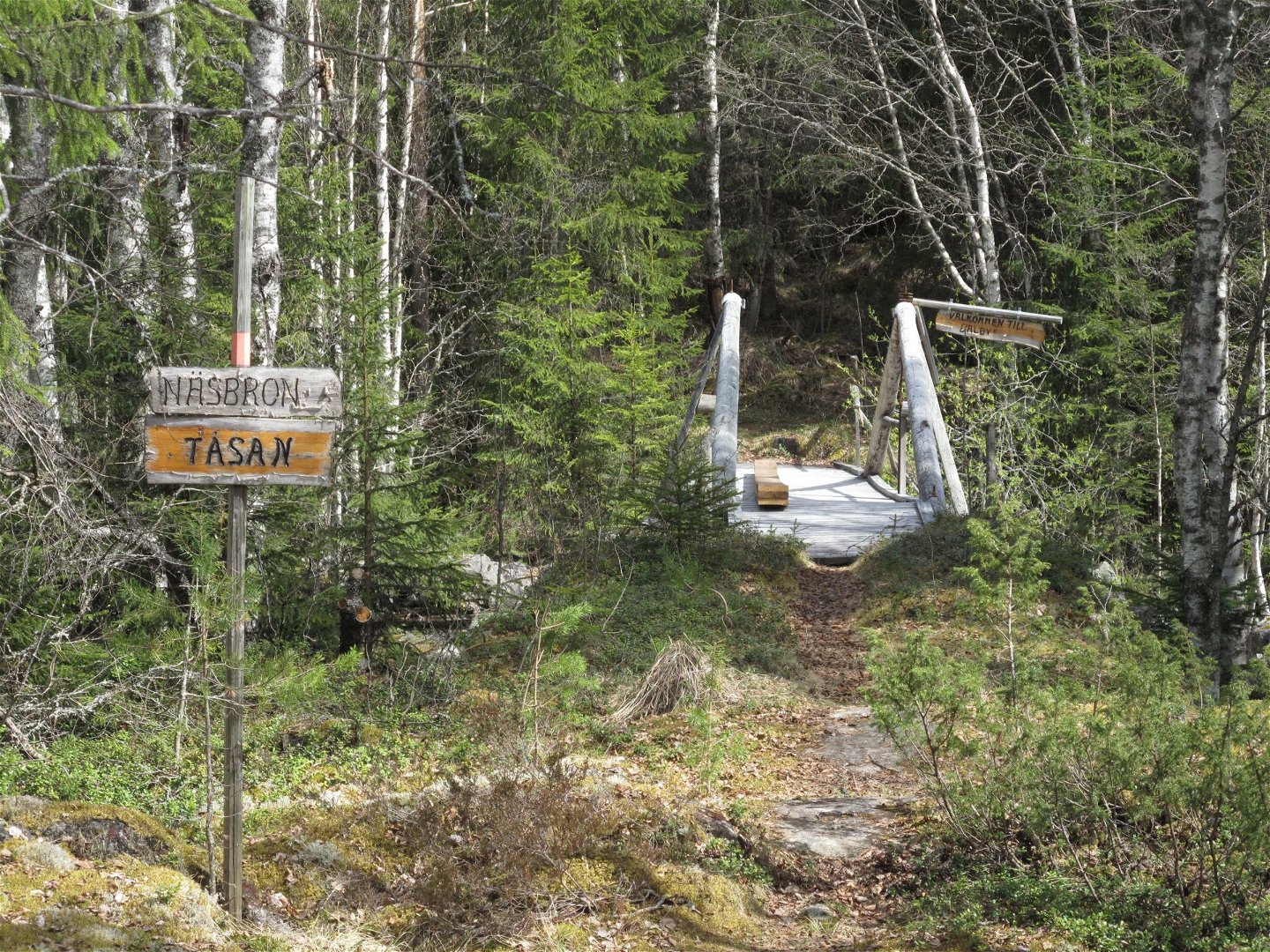
Bron vid Tåsan
Photo: Jan Nilsson -
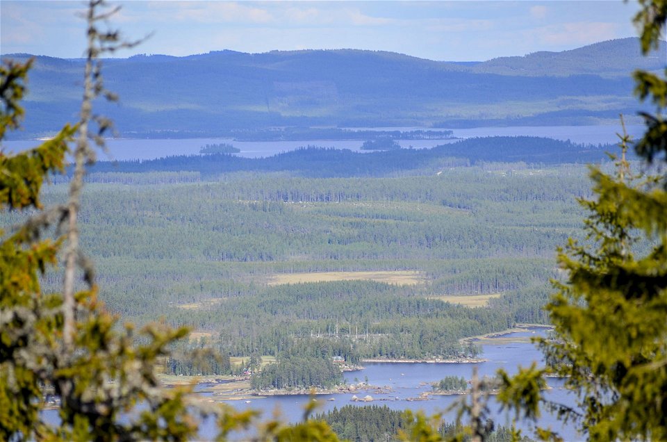
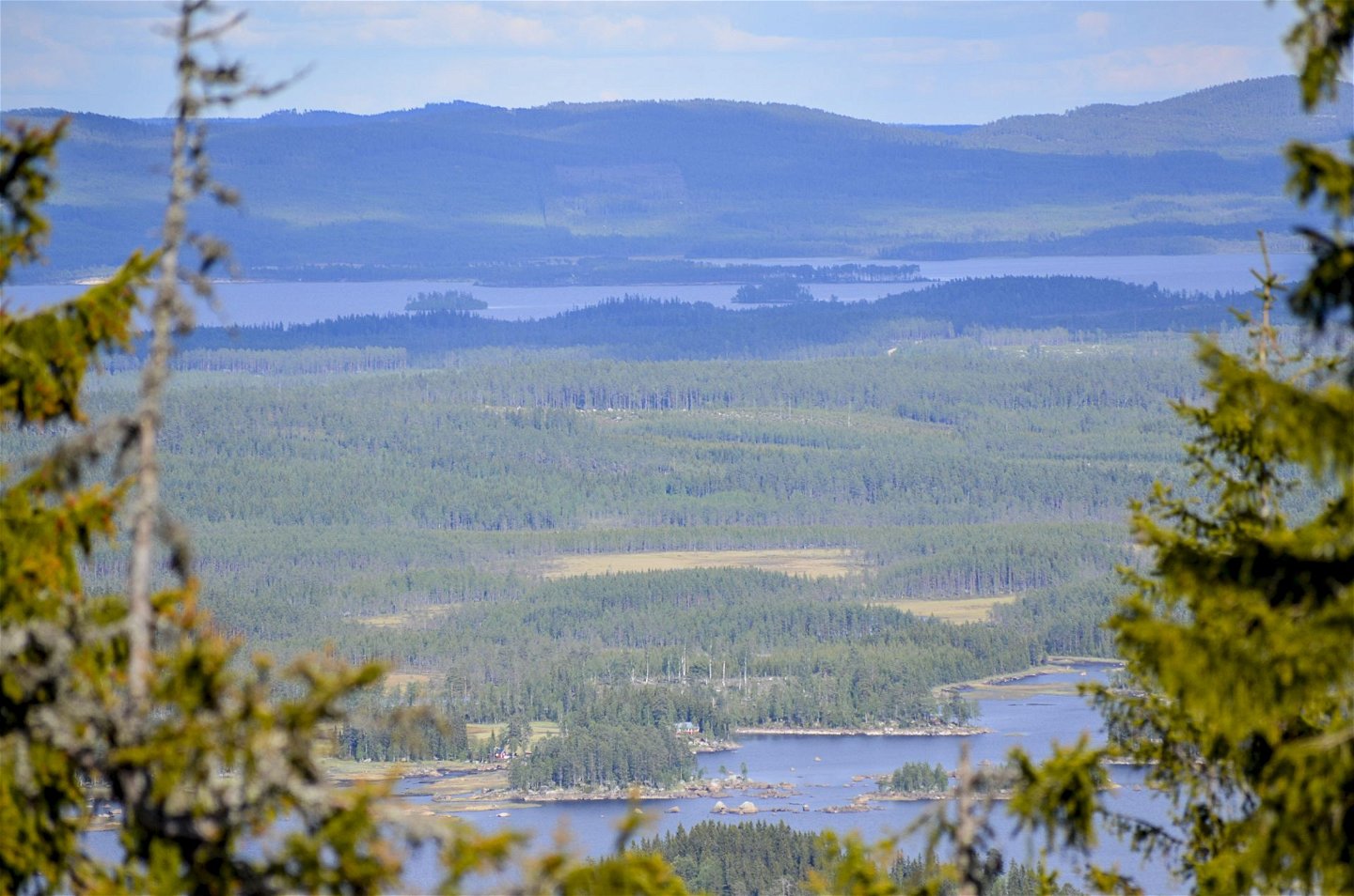
Vy från Granberget mot öster
Photo: Tina Bredsberg


Hiking the Nordvärmlandsleden (54 km)
Hiking
- County: Värmlands län
- 6505.05 km away from you
Actions
Description
A long distance walking trail with great views from the mountains of Branäs, Långberget and the highest point of Värmland, Granberget.
Hiking the Nordvärmlandsleden means walking through varied and hilly terrain. Along the way, you will be able to enjoy many beautiful views and pass by great fishing waters. Granberget (700 m) is the highest point in the county of Värmland.
The trail starts in Branäs in the south and ends in Höljes in the north, with the possibility to go the other way round or to walk via Sysslebäck. There are several rest areas along the path with windbreaks or simple cottages to pass the night in. There is a bus connection in the Klarälven valley between Höljes, Sysslebäck and Branäs, and further on.
A map (at 65 SEK) and more information are available at the tourist office in Torsby, and at Långbergets Sporthotell.
Activities And Facilities
-
Hiking
Contact
Email address
Kontakta VisitVärmland
Organization logotype
![]()
Questions & Answers
Ask a question to other Naturkartan users.
