Finnskogleden, Mitandersfors-Lebiko (stage 3)
Hiking
- County: Värmlands län
- 6768.27 km away from you
Trail details
- Length 11.9 km
- Difficulty Red - demanding
Actions
Description
Finnskogleden is unique as it is winding back and forth across the border between Norway and Sweden, with its 240 km from Morokulien in Eda up to Söre Osen, Trysil in Norway. The full trail consists of 13 stages and No. 2 and 3 of partly run through Arvika municipality.
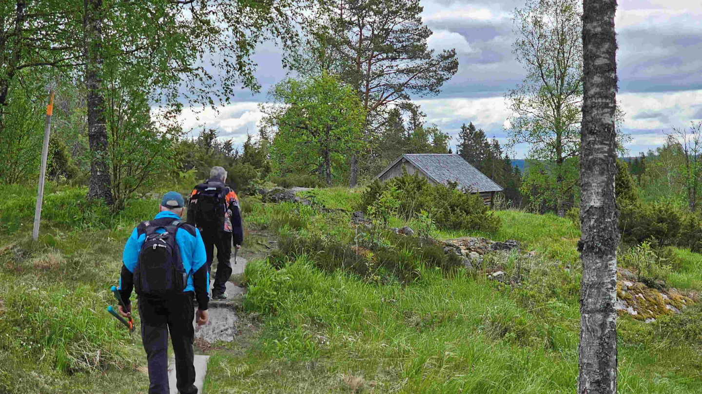
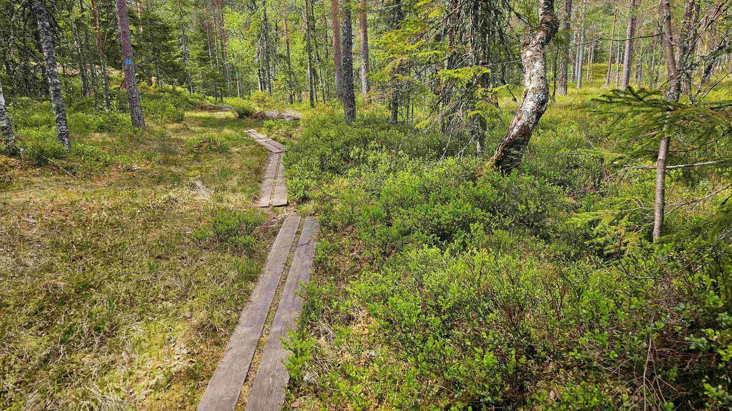
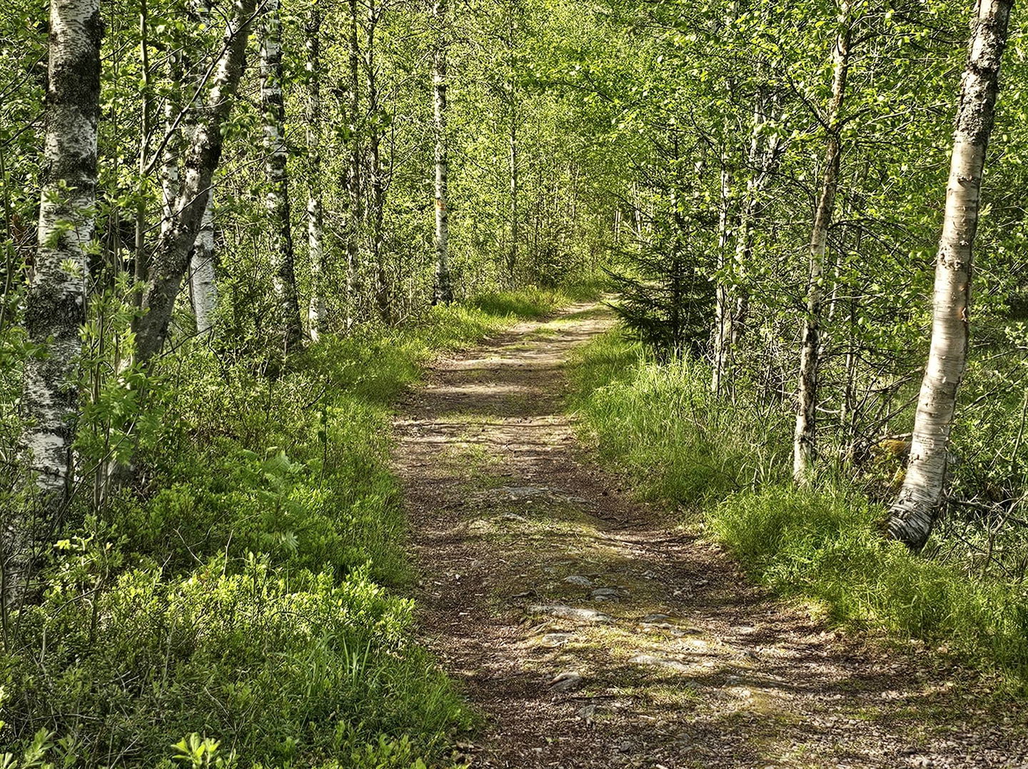
Trail maintenance is being done now after a few years interruption. The signs will be replaced and duck bords rebuilt, where there is only temporary logs laid out. These are often slippery and using support from a stick or the like can make you passage safer. This circumstance gives the trail the grading "difficult" until the improvements have been done and then it will be changed back to "average". Updates of maps and information is underways, but we have no final date to present.
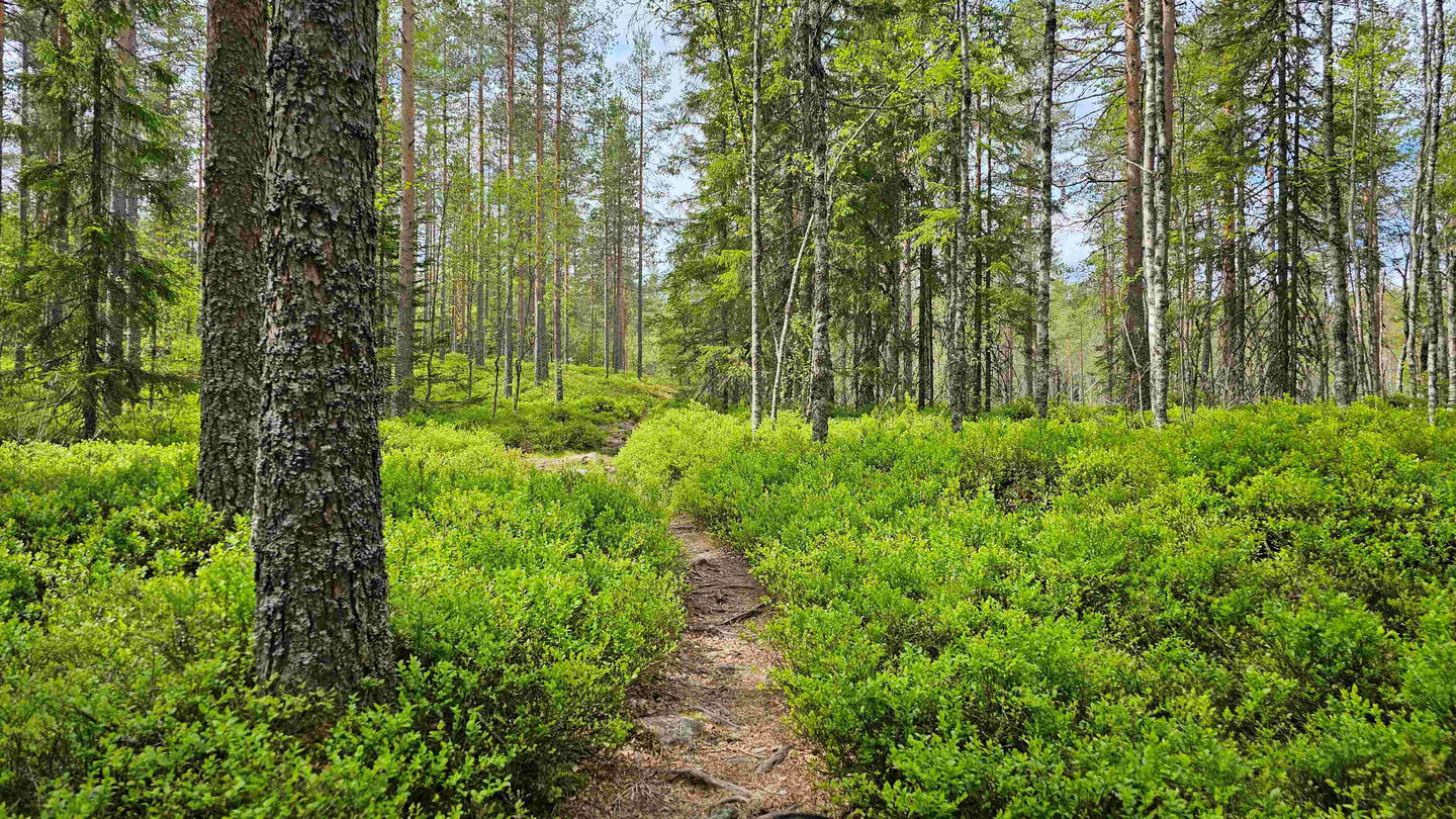
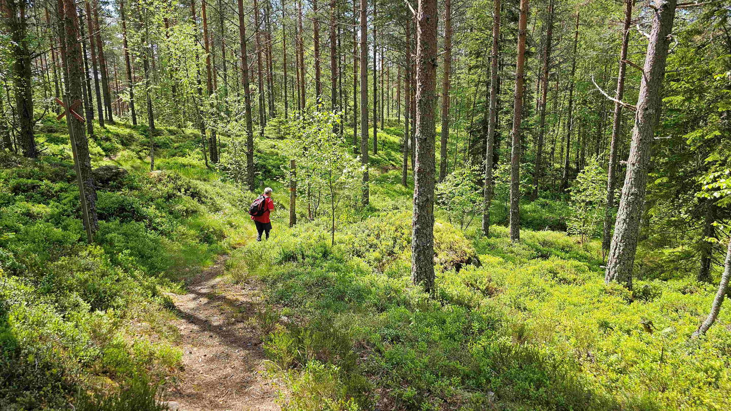
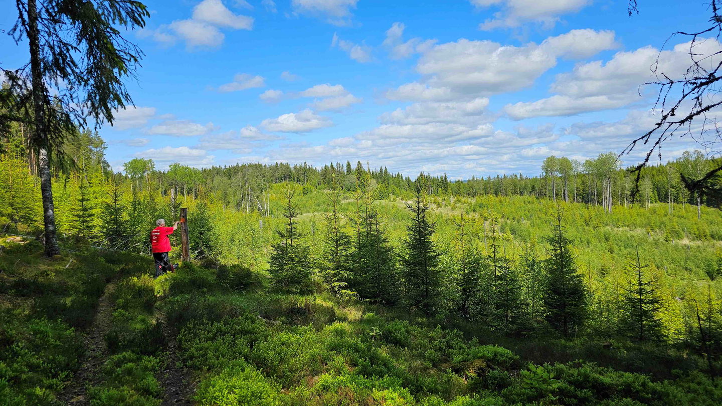
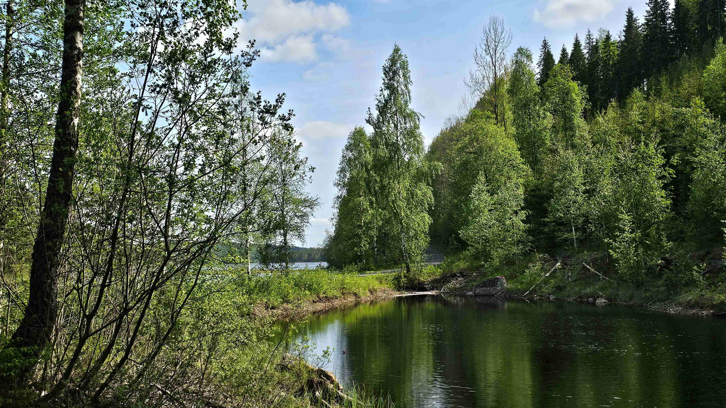
The nature is truly stunning and there is a lot of history around this trail, both from times of war and from Finnish culture. Phone coverage can vary along this stage.
An overview map is available for download below.
The text below is from Finnskogleden.com:
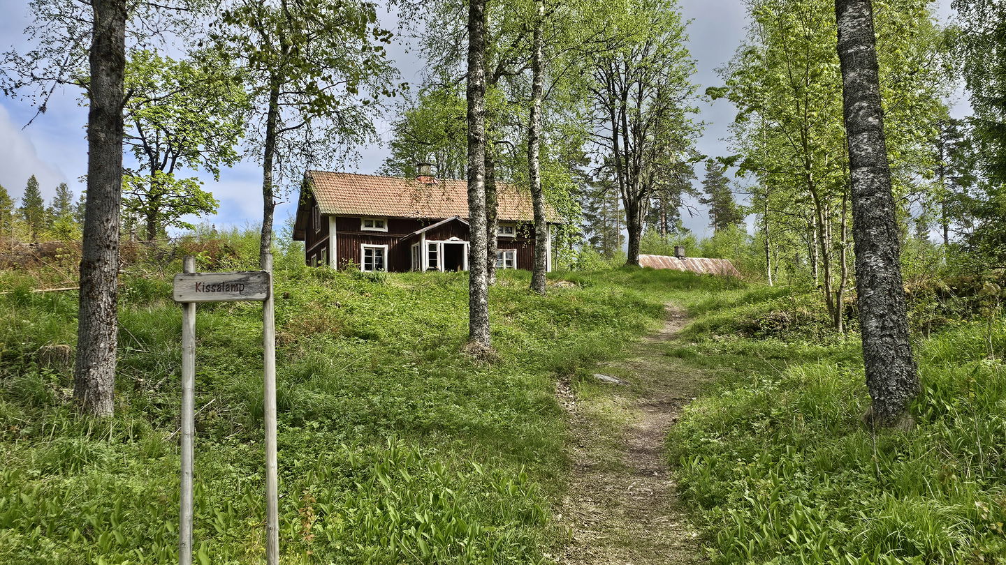
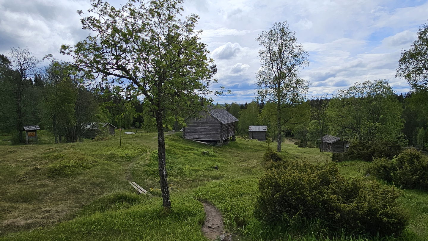
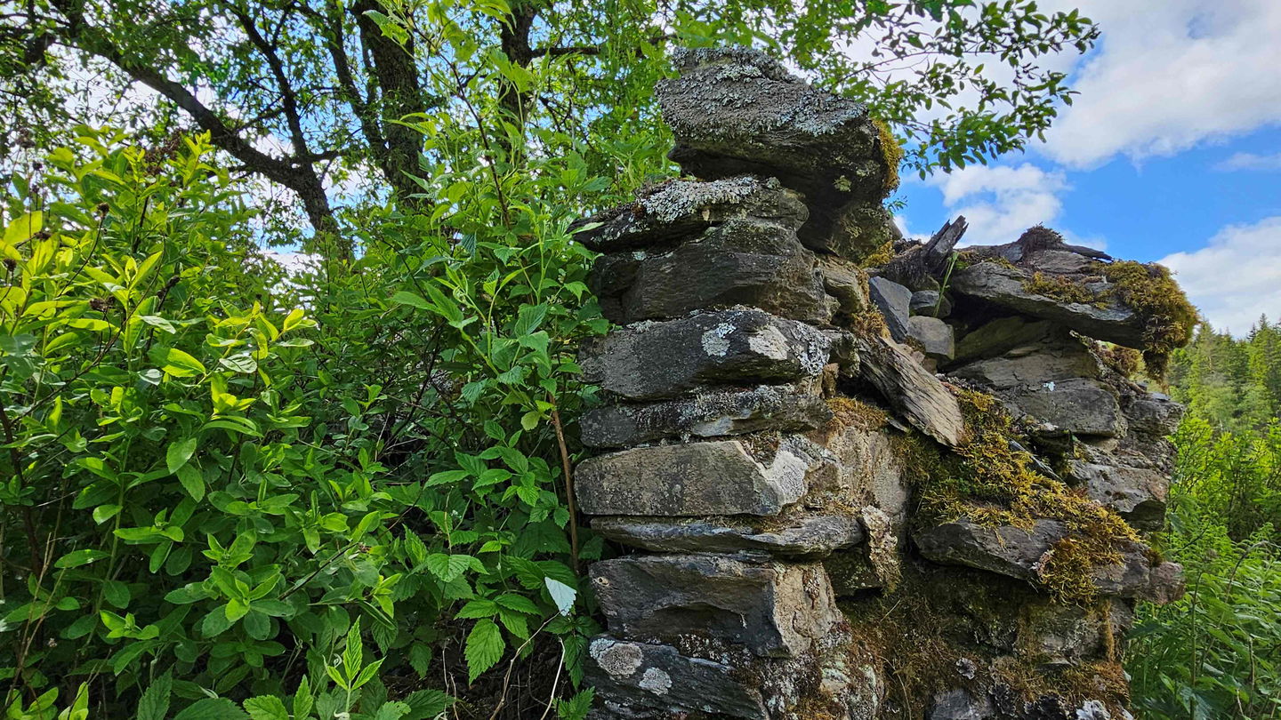
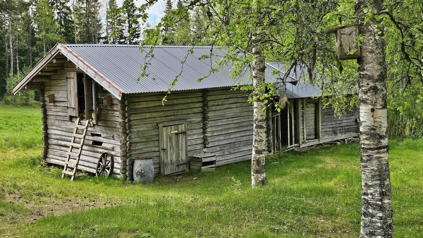
Along this stage there is a nature reserve with rich flora, well kept cultural historic buildings and a smoke cabin.
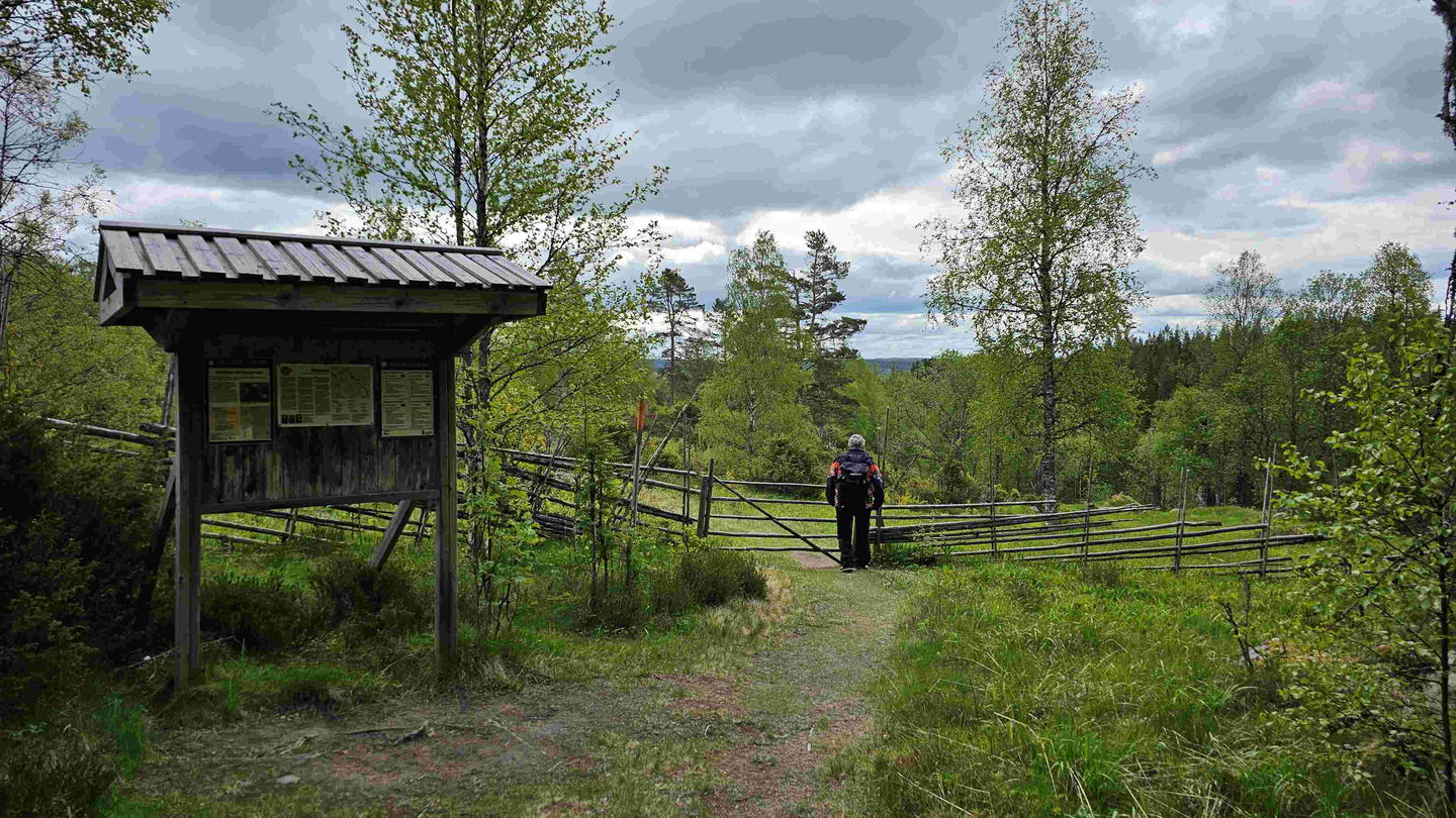
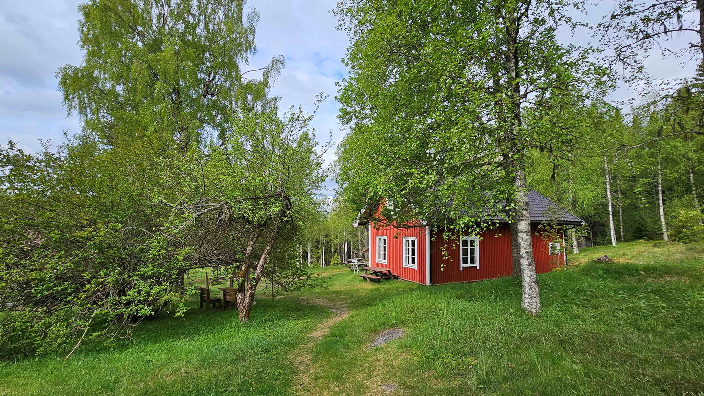
The trail crosses the river Bogsälven at Mitandersfors and climbs up through the forest to Bengtstorp. From there the terrain is easy to Lomstorp on the north side of Lake Lomsen. Another 1,5 km on the trail takes you to Ritamäki which is Sweden's last inhabited Finn croft. The siblings Henning and Beda moved in 1964. Today the farm is owned by the Local Heritage Centre of Lekvattnet. At Ritamäki simple meals are served in summer, check current information at their Facebook page ""Ritamäki finngård." The area is a nature reserve with rich flora and well kept cultural historic buildings and a smoke cabin.
The trail continues 2-3 km to Lebiko. By then you will have passed Kissalamp and crossed the border and find yourself on the Norwegian side. Lebiko was a middle station for many of the Norwegian refugees during WWII. They got food and rest before the last stage to Kissalamp and the freedom of neutral Sweden. Lebiko was inhabited till 1964.
At Lebiko it is possible to stay overnight through the Norwegian Tourism Association (DNT). The cabin is locked with the DNT standard key, which can be bought at the DNT Oslo office. Reservations are booked in advance through the app Hyttebetalingsappen. Unmanned cabins do not serve food, but there are gas stoves for cooking. There is a well outside the barn, but it can dry out sometimes.
Please note! There is a fire ban for the wood stove due to a crack in the oven.
There are pillows and bed covers in the sleeping rooms. It is mandatory to use bed linen.
Text translated by Visit Arvika.
Activities And Facilities
-
Hiking
Downloads
Contact
Address
Visit Arvika
Arvika Turistcenter
Storgatan 22
SE 671 31 Arvika
www.visitarvika.se
Email address
Visit Arvika
Organization logotype

Questions & Answers
Ask a question to other Naturkartan users.


