
-
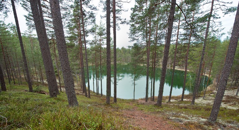
Den turkosfärgade Sundstjärn kantad av tallskog.
Photo: Mikael Solebris -
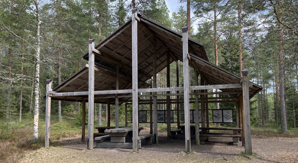
Pagoden vid Stegelviken. -
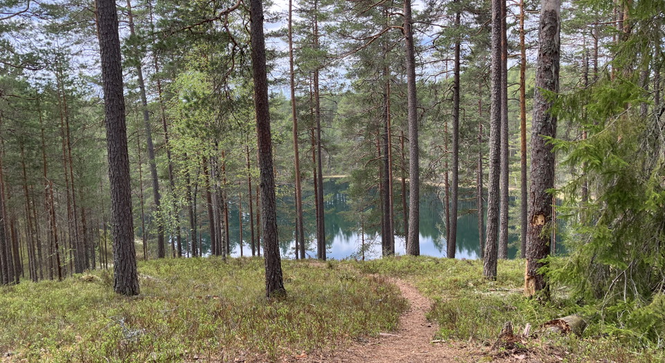
Utsikt över Sundstjärnen. -
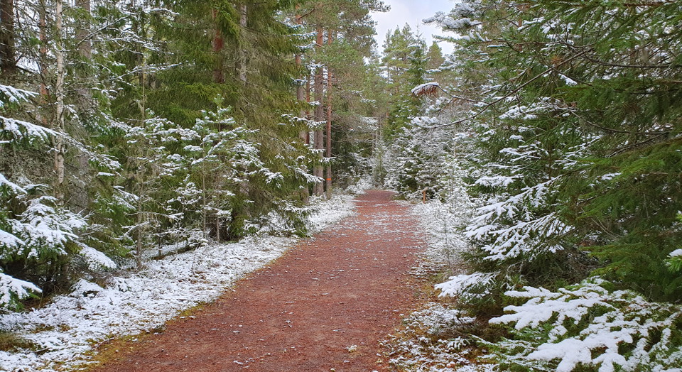
Vandringsled vintertid. -
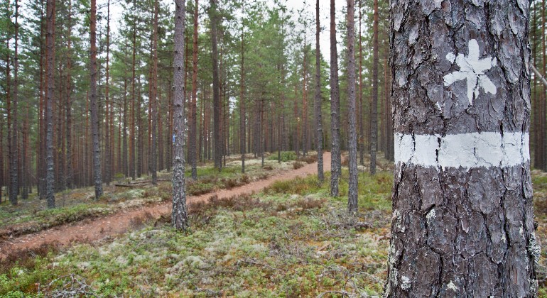
Randen och symbolen visar naturreservatsgränsen. -
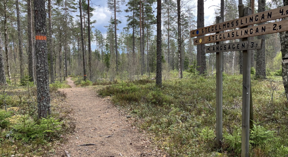
Vid Kittelfältet finns flera slingor att välja på . -
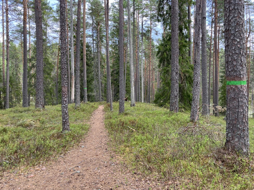
Rundslinga runt dödisgropar.
Photo: Länsstyrelsen Värmland -
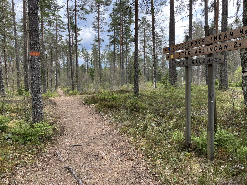
Brattforsleden vid Stegelviken.
Photo: Länsstyrelsen Värmland
Kittelfältet, Naturreservat
- Nature reserve
- County: Värmlands län
Actions
Description
Kittelfältet at Alsterstjärnarna is an area with clear traces of the ice sheet in the form of deep dead ice pits. There are both long and short hiking trails, with views of the dramatic ice age formations in the landscape.
The pagoda at Stegelviken.
Photos in the slideshow: Värmland County Administrative Board, unless otherwise stated.
Roads to Kittelfältets parking lots closed
At the moment, the lime in the roads to the reserve is loosening. The roads are therefore closed until the ground is passable again. (March 7, 2025)
Before your visit
Kittelfältet is an excursion destination that suits many. Here are nice hiking trails in hilly terrain, exciting geological formations and nice places to take a break. There are shelters and fireplaces for those who want to use them.
Less firewood at the fireplaces
We have reduced the supply of firewood as a result of the reduction in resources for the management of the nature reserves from 2023. As we are now putting out less firewood, it is extra important that you as a visitor burn carefully and bring your own firewood if you want to be sure to be able to grill. Please note that fires may only be lit in the designated fireplaces and that it is forbidden to take dead or live branches from the forest.
Camping is prohibited
Remember that camping is prohibited within the Kittelfältet nature reserve. You may sleep in the shelters, but not set up your own tent, or set up a motorhome/caravan overnight. Outside the reserve, within the Brattforsheden Nature Conservation Area, you may camp, but here too you may not set up a caravan or motorhome overnight.
Hiking trails
Kittelfältet is an excellent starting point for both short and long walks. From the area's two parking lots, there are several circular trails within easy reach, as well as the 24-kilometer Brattforsleden trail that runs straight through Kittelfältet.
Brattforsleden 24 kilometers, orange marking
The trail is the nature conservation area's large circular trail that runs through four nature reserves.
The trail is varied and passes a number of different sights such as Ångsågen, the old ironworks in Brattfors and Lake Alstern.
Difficulty: Medium to difficult. Most of the trail is medium, but in the Lungälven ravines south of Brattfors there is a section of about 3 kilometers that is difficult.
Ormtjärnsleden 2.5 kilometers, orange marking
Is a detour from the Brattfors trail that measures about 2.5 kilometers one way from the starting point at the northern Kittelfältet. The trail goes through very nice hilly terrain, exciting fire areas and along Lake Alstern.
Difficulty level: Medium
Dödisgropar round loop 1 kilometer, green marking
A very nice little trail that passes several dead ice pits, the largest of which is Sundstjärnen with its turquoise colored water. The dead ice pits are one of the biggest attractions on Brattforsheden. From the parking lot at the northern Kittelfältet it is about 500 meters to the loop.
Difficulty level: Medium
Steglaslingan 2.4 kilometers, yellow marking
The trail starts from Stegelviken. It is a short, easy and pleasant hiking trail that follows ridges on the sandy heath. The trail passes, among other things, flying sand dunes and several coal beds.
Difficulty level: Medium
Stegelmosslingan 4.2 kilometers, blue marking
The trail has some nice sections along ridges, past the northern edge of the Geijersdalsmossen nature reserve and through older pine forest. Along the trail you can see trapping pits, old pine forest, peat extraction and bog pools on the bog. The trail passes over road 63 twice.
Difficulty level: Medium. Some slightly steep slopes up and down ridges.
Dead and living ice
The dead ice pits are crater-like depressions left by icebergs embedded in the sand. The term 'dead ice' comes from the fact that the iceberg is stuck at the bottom and cannot move, unlike the ice sheet which was always moving as a large mass and is therefore called 'living ice'. Small lakes have formed in the largest and deepest pits. Sundstjärn has turquoise-colored water due to phytoplankton living in the water. Older pine forests grow around the Alster lakes and westwards towards Sundstjärn.
Forest fire a natural feature
Fire is a natural disturbance in this area. To benefit biodiversity, the County Administrative Board burned about 9 hectares of forest here in 2015. Five years later, in May 2020, about 4 hectares were burned. In the northern part of Kittelfältet, another burning is planned to be carried out in spring 2023.
Preserved for the future
Kittelfältet is a Natura 2000 site and part of the EU's network of high nature value sites. The forest here is preserved so that the landforms from the ice sheet remain and help us understand what happened in nature when the ice sheet moved across the country.
Activities And Facilities
- Nature reserve
Facts
Established: 1984
Size: 81 hectares, of which land area 72 hectares
Landowner: State
Administrator: County Administrative Board of Värmland
Directions
Kittelfältet is located in Filipstad municipality, east of Stegelviken in the southern part of Lake Alstern about 5 kilometers west of Brattfors. By car: take highway 63 between Karlstad and Filipstad. There are road signs to the reserve about 4 kilometers south of Brattfors. There is one parking lot each in the northern and southern parts.
Regulations
**On Kittelfältet, special rules and restrictions apply to the right of public access.
It is forbidden to:
- drive a car or other motor vehicle other than on authorized roads,
- drive off-road vehicles or boats,
- camping,
- pitching a caravan,
- light an open fire other than in a specially prepared and designated place,
- damaging vegetation, for example by breaking branches, felling or otherwise damaging living or dead trees and also picking plants, mosses, lichens, wood fungi or algae
- disturbing wildlife, for example by staying at nests or letting dogs or other pets loose
- using a radio, gramophone or similar device in a disruptive manner.
Scientific studies of the natural conditions of the area must be carried out in consultation with the reserve manager.
Contact
Email address
Maila Länsstyrelsen Värmland
Organization logotype

Please be aware that some of these texts have been automatically translated.
I’ve been here 2

I want to go here 6


Questions & Answers
Ask a question to other Naturkartan users.
Reviews
0 reviews
- 5 :
- 4 :
- 3 :
- 2 :
- 1 :
Users images
No user images yet. Be the first to share!
