Granbergsrundan
Hiking
- County: Värmlands län
- 6856.92 km away from you
Trail details
- Length 8.0 km
- Difficulty Blue - medium
Actions
Description
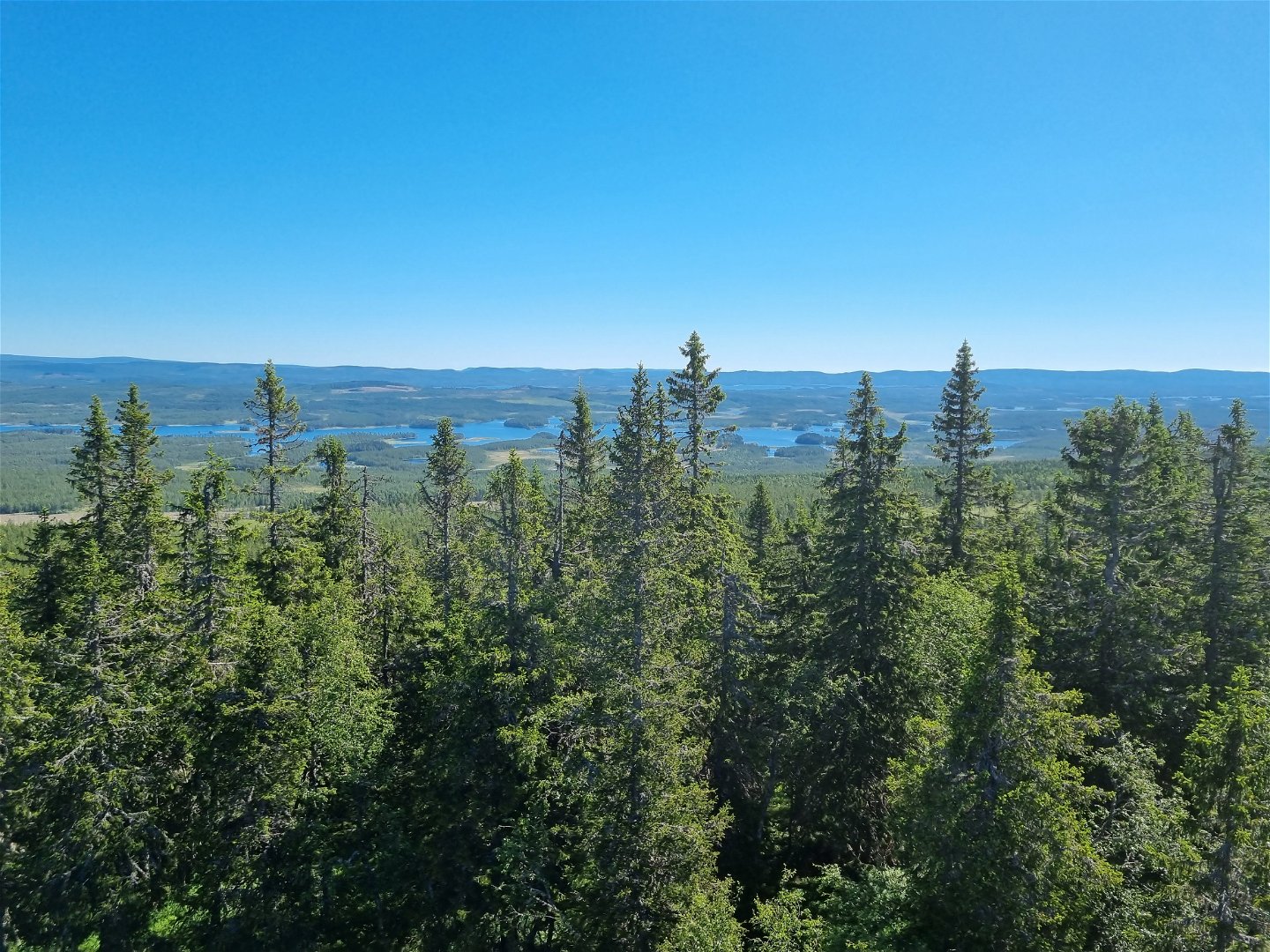
A hike to Värmland´s highest point with spectacular view.
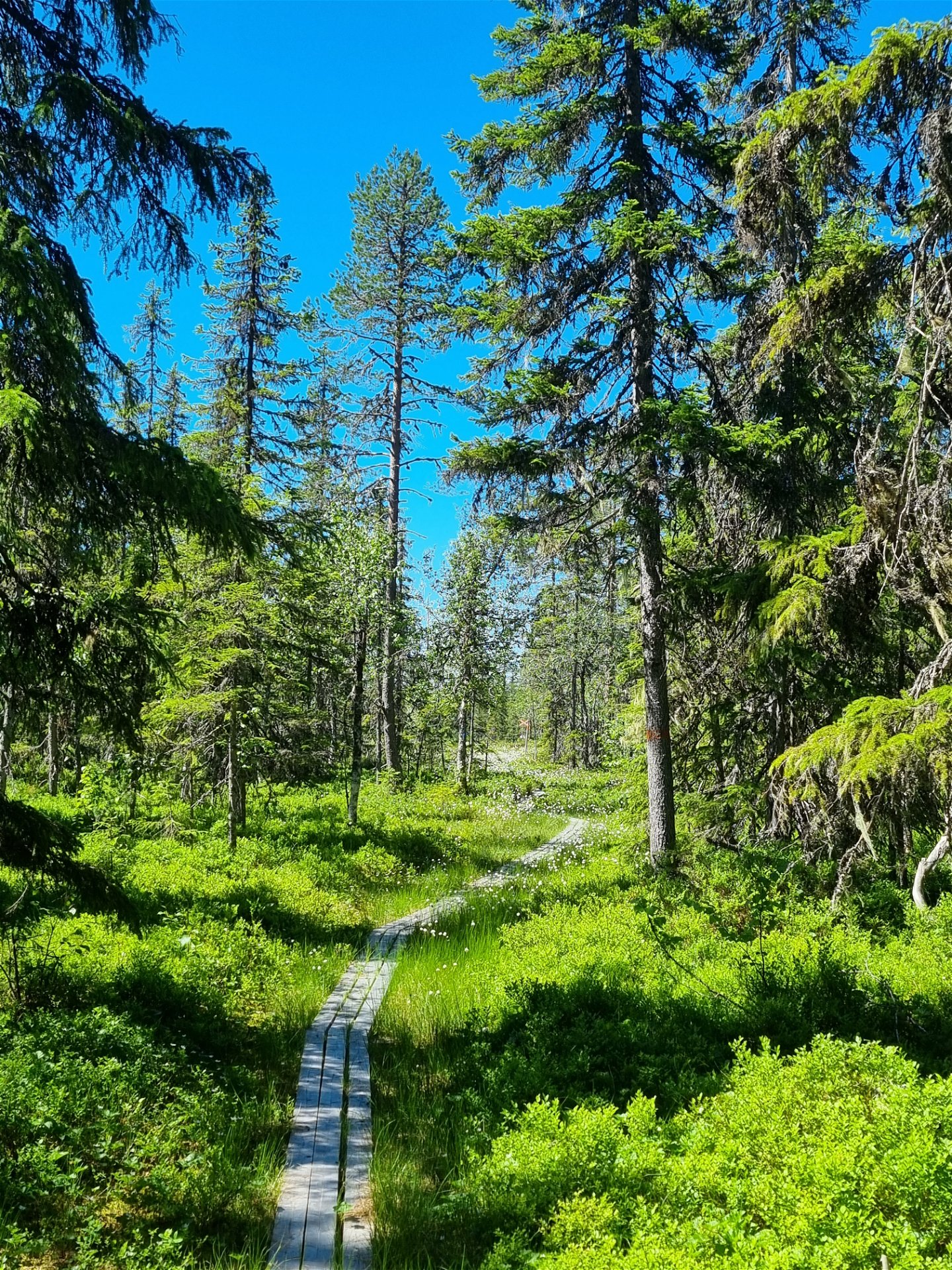
Granbergsrundan is a hiking trail that extends up and past Granberget, Värmland´s highest peak (700 meters above sea level), partially following the same route as the Nordvärmlandsleden.
Please Note!
The gravel road leading to the start of Granbergsrundan is in poor condition, so please drive carefully. A higher vehicle and four-wheel drive are recommended.
The loop is about 8 km long, and you return to the parking area after completing the hike.
At the top of Granberget, there´s an observation tower with beautiful views and a vast outlook in all directions. Here, you can also enjoy your packed lunch at a picning table.
Activities And Facilities
-
Hiking
Contact
Address
Visit Torsby
turist@torsby.se
Questions & Answers
Ask a question to other Naturkartan users.


