Björnmyra
Hiking
- County: Värmlands län
- 6718.24 km away from you
Trail details
- Length 9.7 km
- Difficulty Green - simple
Actions
Description
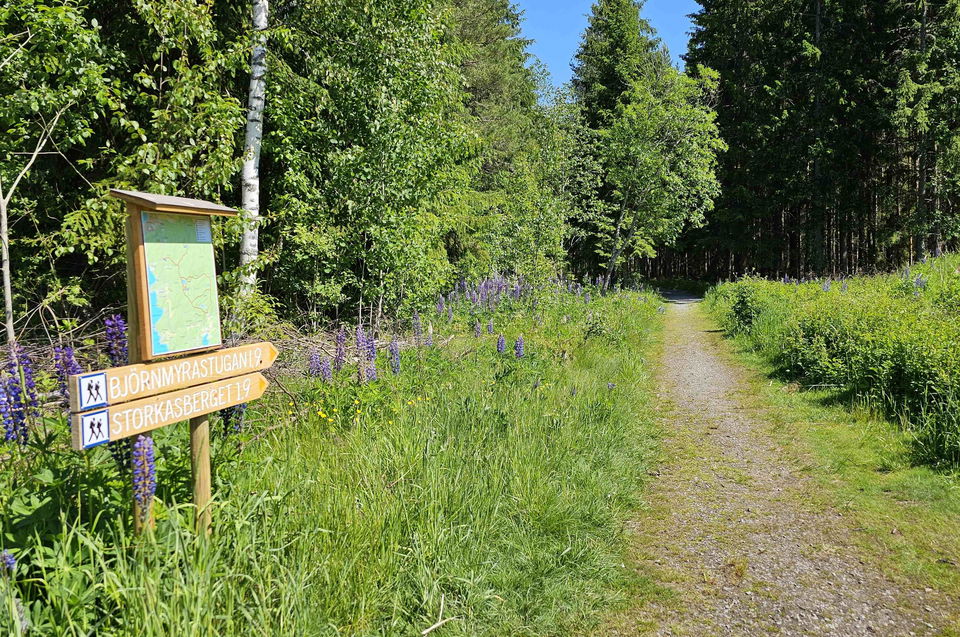
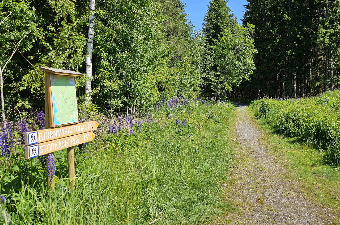
The hiking trail at Björnmyra and Storkasberget both start about 3,5 km south of Arvika. The spacious parking area is next to road 175 and opposite of the road to Ingestrand camp ground.
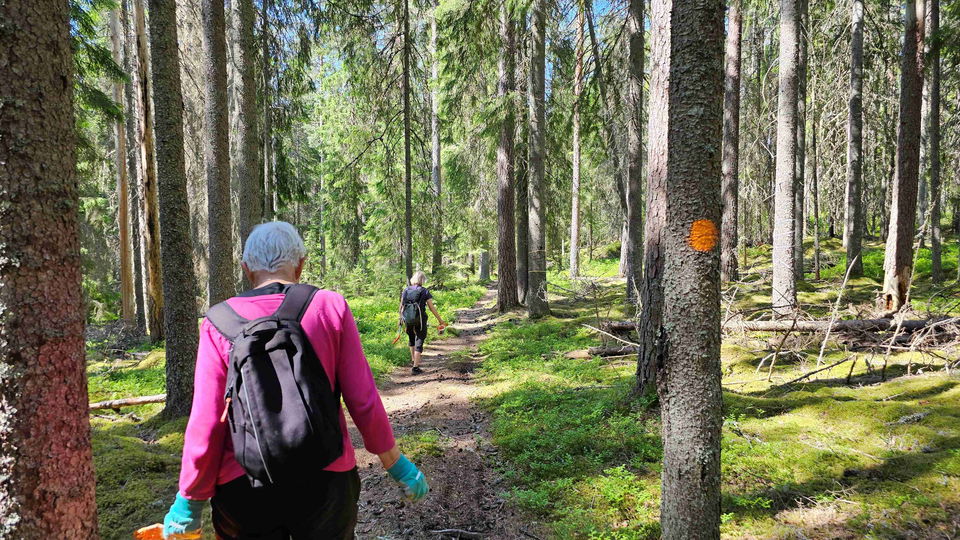
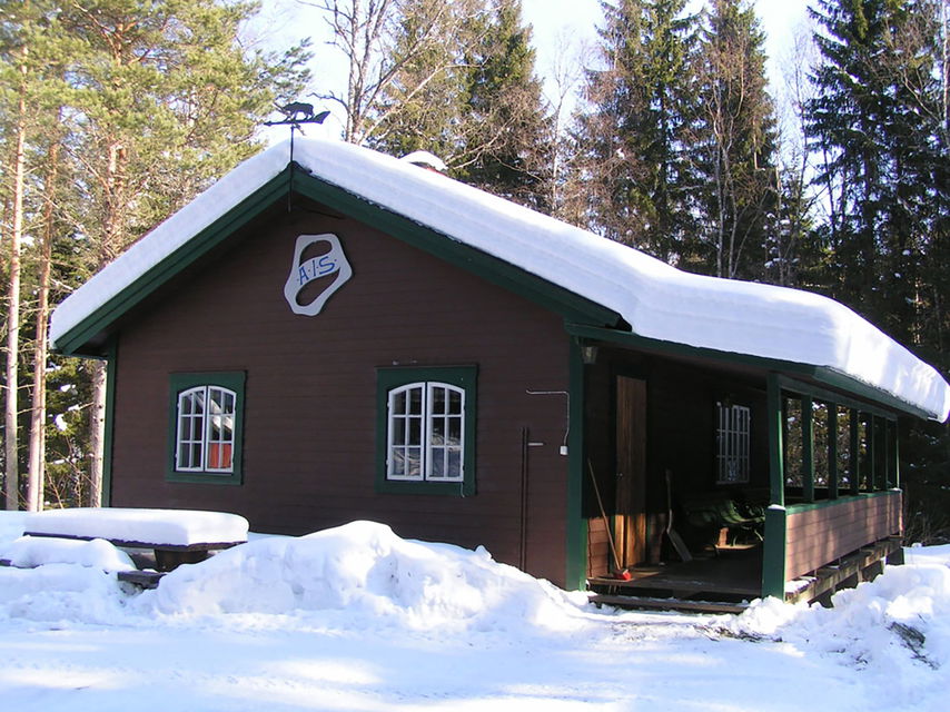
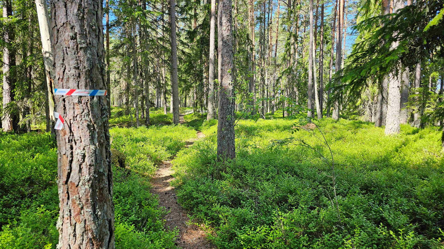
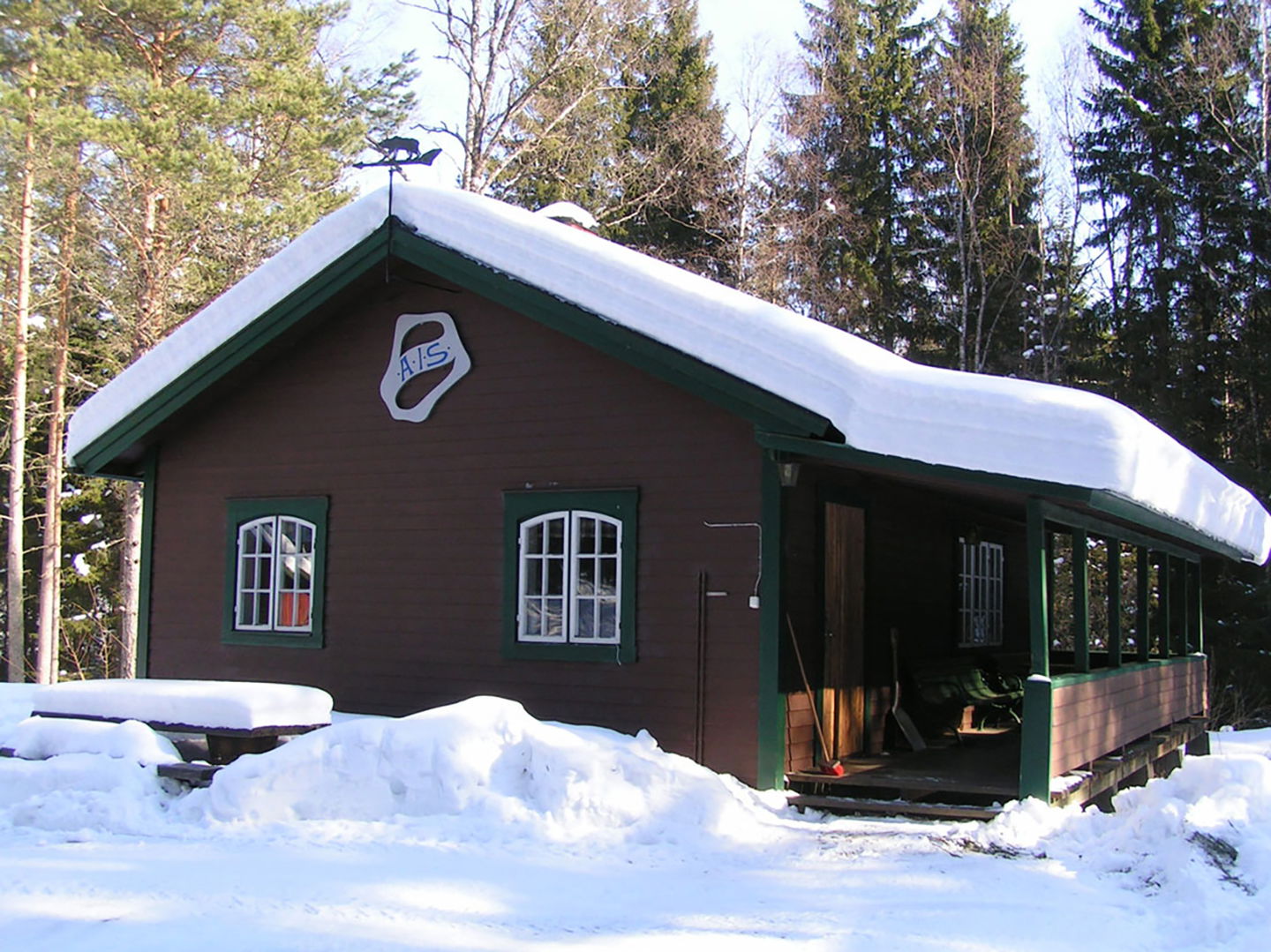
Around the Björnmyra cabin there are circular trail of different lenghts to choose from. The path up to Storkasberget however is an A to B trail, but it is possible to contine on the car access road if you with to make a circular route. Please note that only the forest path to the top will have colour markings.
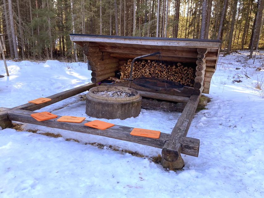
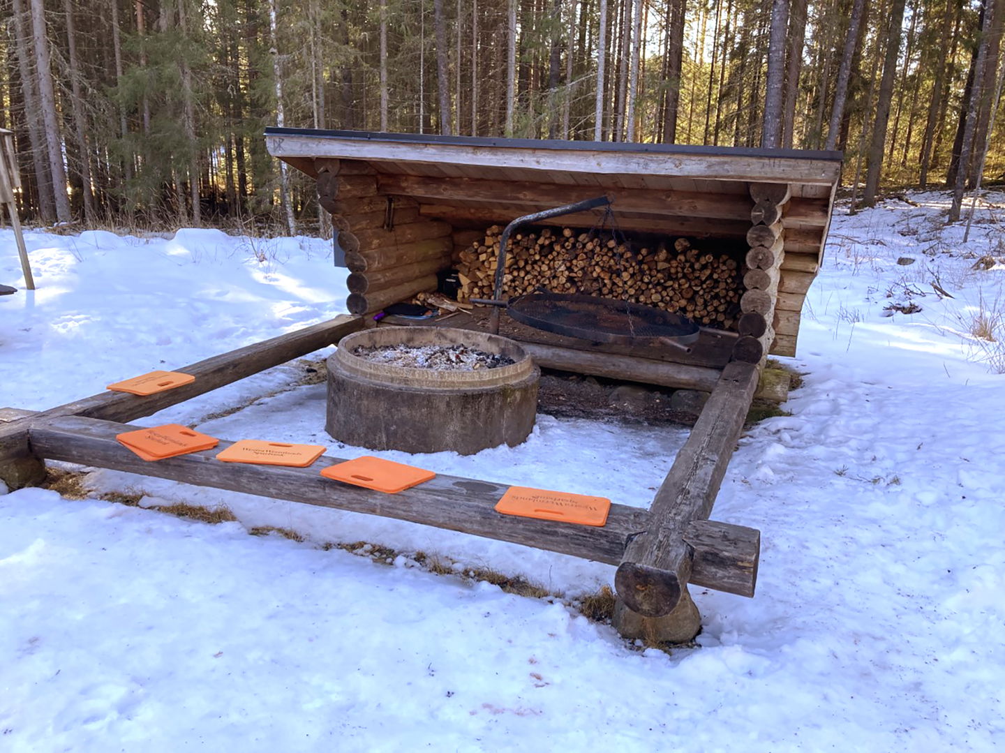
The distance from the parking lot to the Björnmyra cabin is 1,9 km. There are some bench tables.
The shortest trail runs around Björntjärnet, 1,8 km. The middle trail around Igeltjärnet is 4,9 km and the longest one around Lidtjärnet is 5,6 km and passes Nordal in the south. These distances are measured from the cabin.
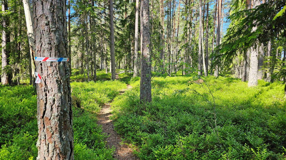
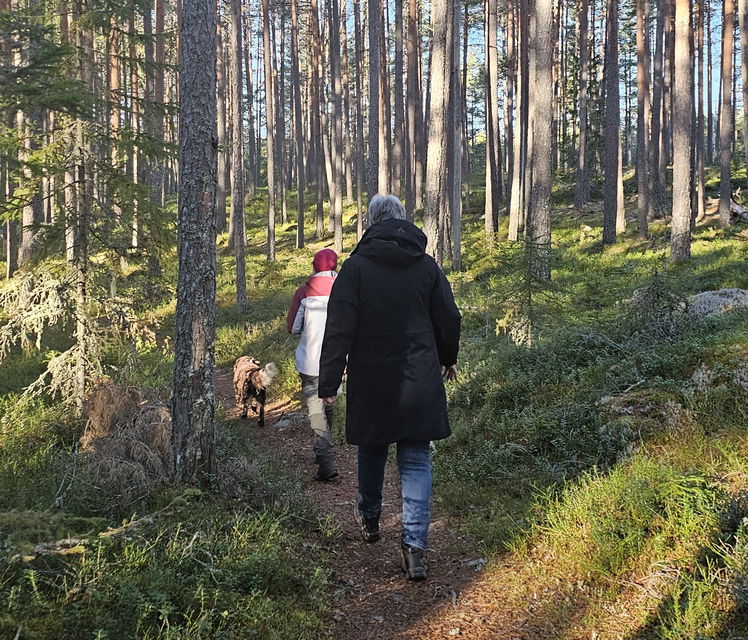
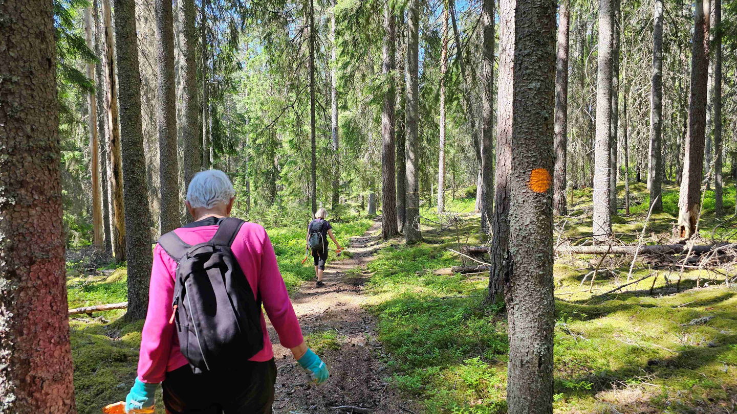
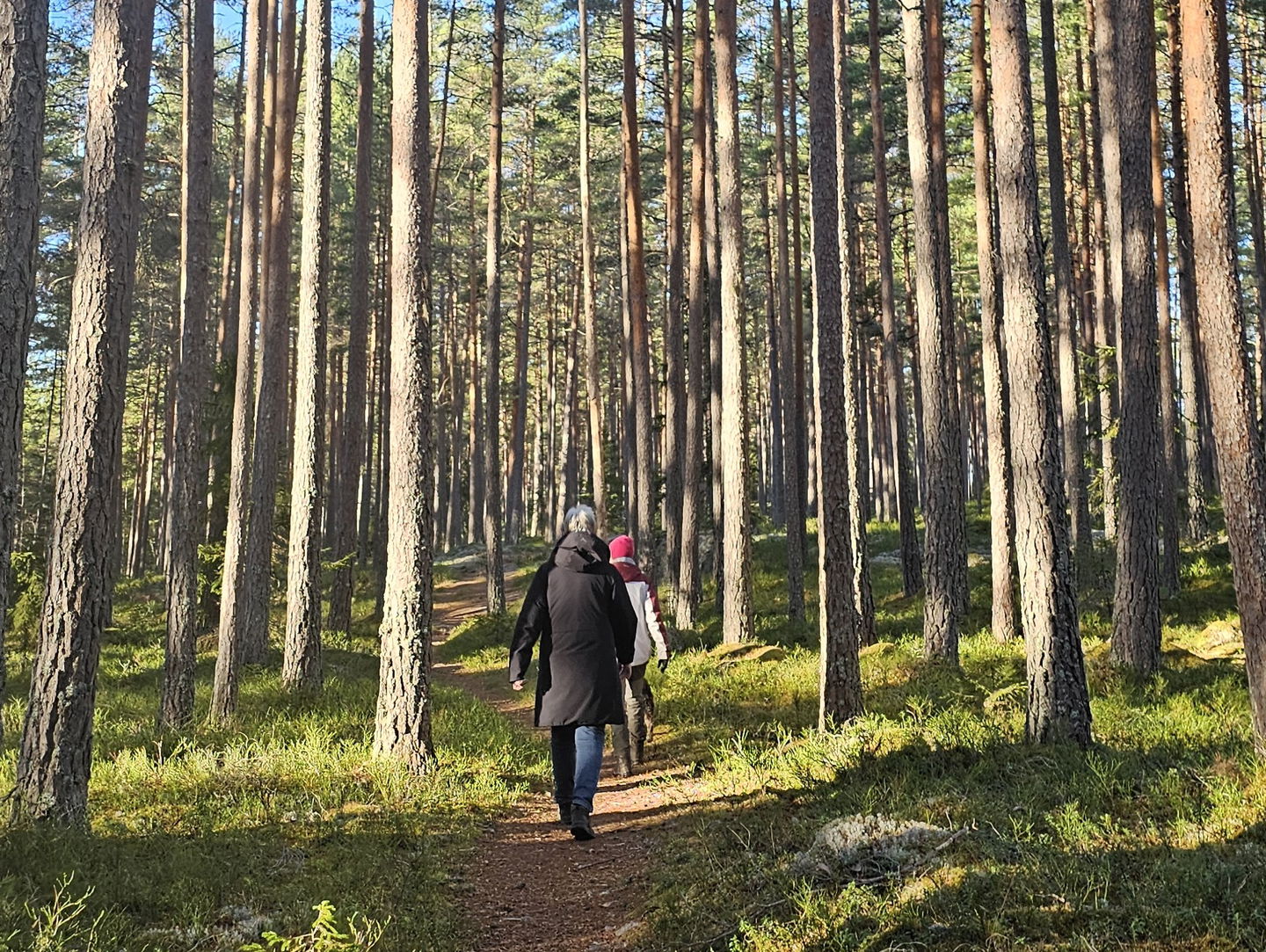
The terrain at Björnmyra is flat and easy to hike in. Often there are wide needle covered paths through pine or mixed forest.
Activities And Facilities
-
Hiking
Downloads
Contact
Address
Visit Arvika
Arvika Turistcenter
Storgatan 22
SE 671 31 Arvika
www.visitarvika.se
Email address
Visit Arvika
Organization logotype

Questions & Answers
Ask a question to other Naturkartan users.

