
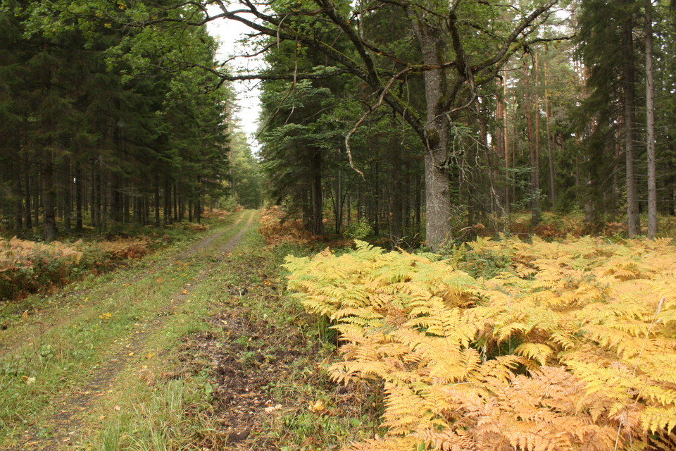
The Uppland Trail, section 10, 30 km
- Hiking
- County: Uppsala län
- 6793.59 km away from you
Trail details
- Length 30.0 km
Actions
Currently
The maintenance of this stage is neglected in several places. There may be trees over the trail and some stretches need to be cleared to increase accessibility. We are working to get the trail in order, but we recommend so far that you choose another hiking stage. Along Kolarmoraån, the trail will be partly redrawn.
-Published in August 2025
Description
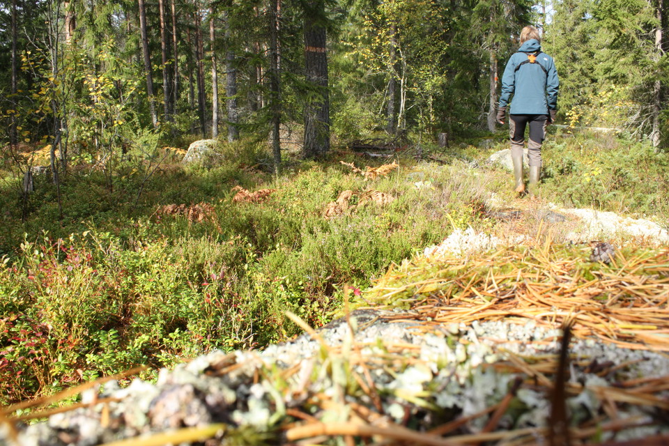
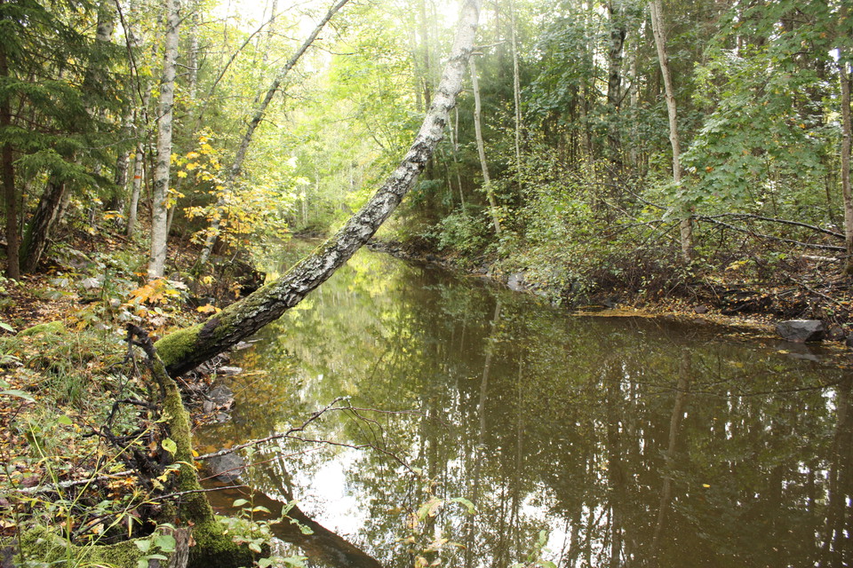
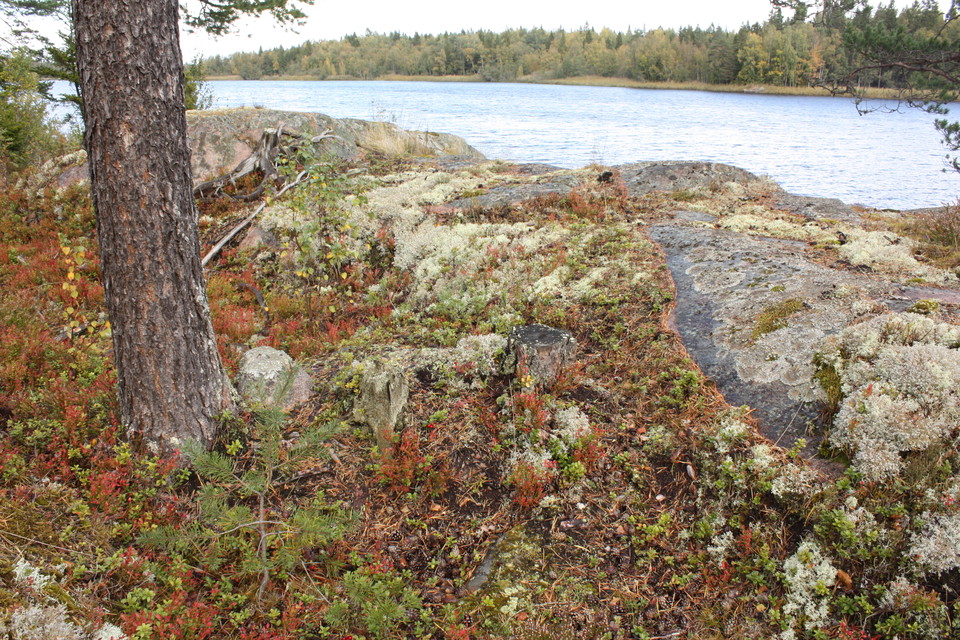
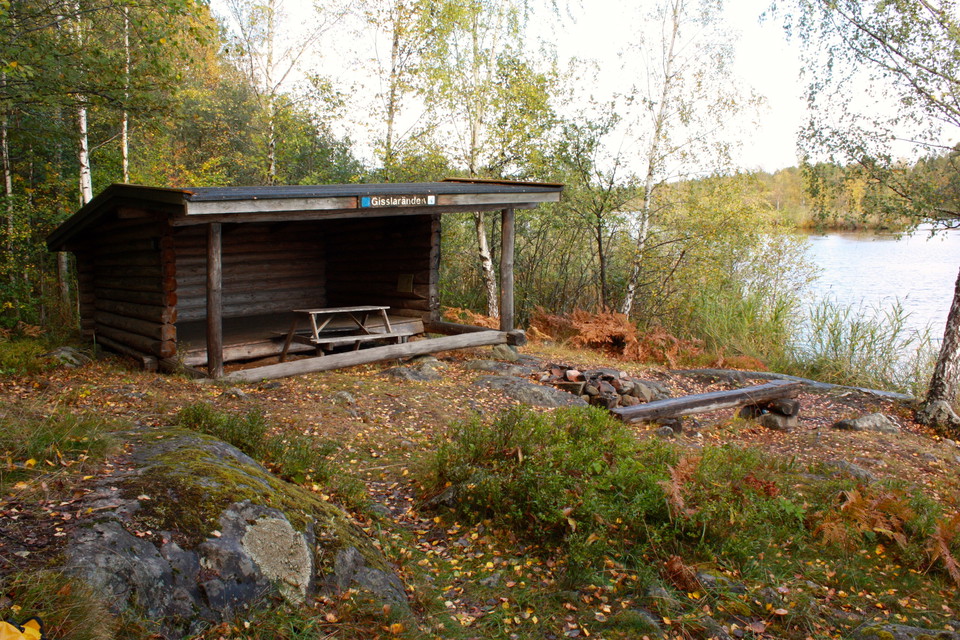
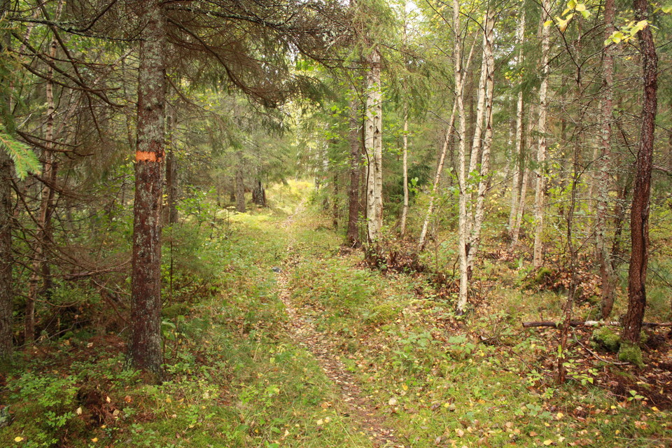
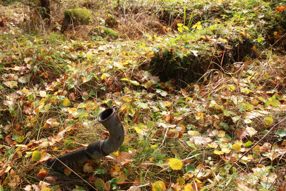
The longest section of The Uppland Trail takes you through forest areas that are practically uninhabited. The hike starts at the rest spot by River Kolarmoraån, close to Lake Vällen, and ends at Gimo Herrgård Manor. From the River Kolarmoraån, the path winds its way to the narrow Lake Gisslaren, where, at the southern end, you’ll find many good spots for a break or a swim. The trail then follows the lake, more or less, along the reeds through flat forest areas that are rich in boulders and broadleaf trees. At the northern end of the lake, you’ll reach a wind shelter where you can stay the night, and the trail turns towards Gimo. Walking through airy forests, you’ll pass the remains of three cottages before the trail splits in two. We recommend that you choose the easier to walk southern section to Gimo. The northern one is described in Walk 10:1.
Difficulty level: Medium, mostly paths, the last 7 kilometres are on forest roads.
Activities And Facilities
- Hiking
Surface
Long stage that offers a lot of hiking along forest trails. The last seven kilometers are on easy forest roads.
Communications
A bus stop, Kasbol, is located where Upplandsleden crosses road 661. From here it is a 3.5 km hike along the trail to the stage start at Kolarmoraån.
In Gimo there are several bus stops. The one closest to the end of the stage is called Gimo bruksgatan.
Directions
It is not possible to get by car all the way to the rest area where the stage starts. But it is possible to park 1.5 km away. From road 288 you turn off towards Hallstavik on road 661 just east of Gåvsta. 2.5 miles later you pass over Vällen and a few kilometers further on you turn left towards Kolarmora. Follow the gravel road. After less than 3 km, there is a gated road to the left. You can park a car at the side of the road. From here it is a 1.5 km hike along the toll road to Kolarmoraån's rest area. Towards the end the road splits, keep right.
The end of the stage is at Gimo manor. Parking is available next to Gimo pond.
Contact
Email address
Upplandsstiftelsen
Organization logotype

Please be aware that some of these texts have been automatically translated.
I’ve been here 28







I want to go here 51






Questions & Answers
Ask a question to other Naturkartan users.
Reviews
4 reviews
- 5 :
- 4 :
- 3 :
- 2 :
- 1 :
Denna etapp är rätt tuff och det är delar en bit före och efter vindskyddet vid sjön Gisslaren som är helt igenväxta, och helt omöjligt att se markeringar, gps nödvändigt. Rekommenderar att dela upp etappen med övernattning. Det är dock inget överflöd med lämpliga tältplatser, men har man ett litet solotält kan man tälta på klippor längs sjön. Annars finns ett par större vändplaner längs grusvägarna man går efter med en del gräsyta som kan passa för tältning.
Users images
No user images yet. Be the first to share!

Sträckan är bitvis i kraftigt behov at översyn. Ett team med röjsåg och motorsåg skulle behöva gå hela sträckan, i annat fall kommer stigen att bli obrukbar. Bitvis oframkomlig kopplat till omkullfallna träd och översvämmade hyggen. Rekommenderar inte någon att gå sträckan som inte är i hyfsad form. Plussa på några timmar på den beräknade gångtiden.