
-
-
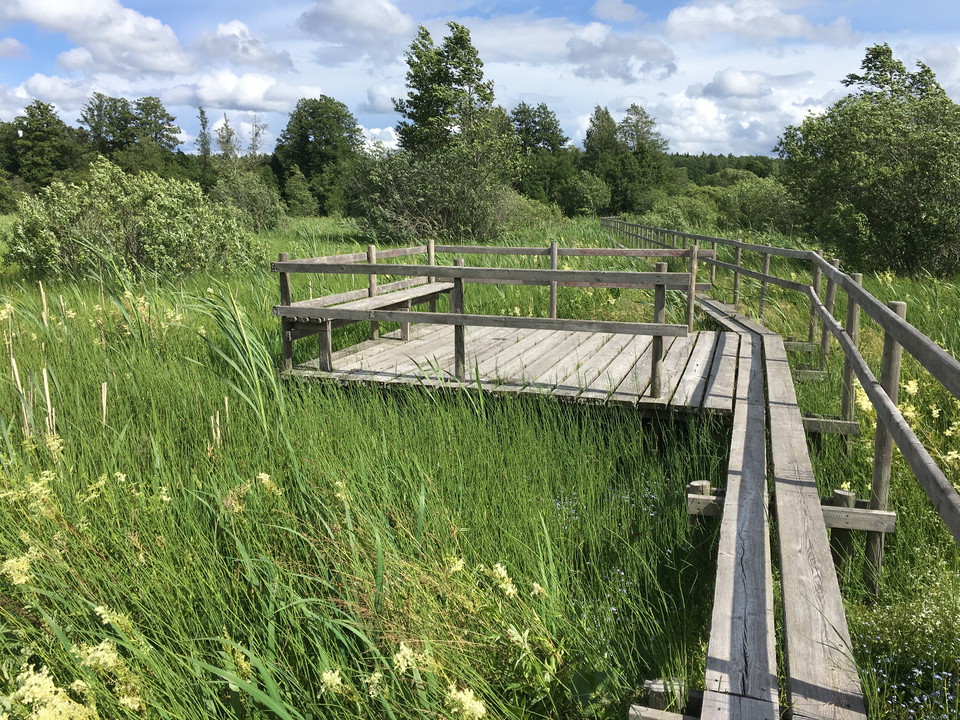
Bänkar längs spången in mot samhället.
Bryggor Gillberga, Tämnaråns kanotled
- Kayak point
- Jetty
- County: Uppsala län
- 6753.75 km away from you
Actions
Description
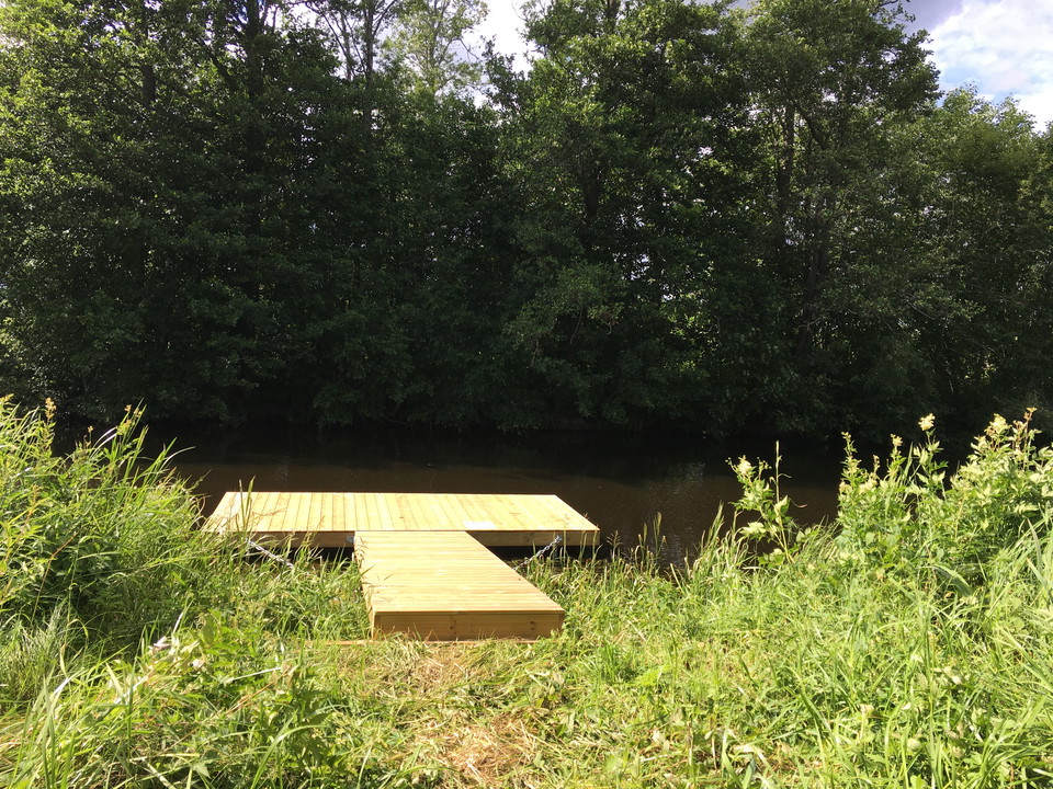
At Gillberga there is a narrow footbridge over the river. At high tide you may need to lift past this bridge. Take the canoe up at the bridge on the right side, south of the footbridge and put in at the bridge on the same side, north of the footbridge.
There is also a picnic table here. If you walk on the bridge over the river and continue the footbridge a bit towards the community, there are also benches to sit on.
Activities And Facilities
- Kayak point
- Jetty
Contact
Email address
Upplandsstiftelsen
Organization logotype

Please be aware that some of these texts have been automatically translated.
I’ve been here
I want to go here
Questions & Answers
Ask a question to other Naturkartan users.
Reviews
0 reviews
- 5 :
- 4 :
- 3 :
- 2 :
- 1 :
Users images
No user images yet. Be the first to share!
