
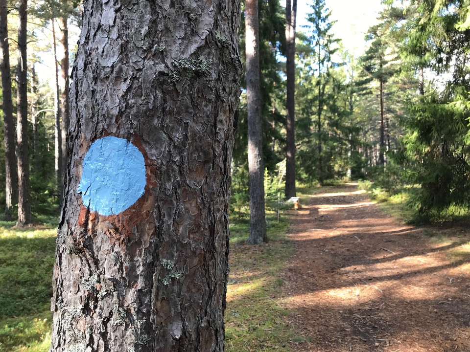

Blå stigen
- Hiking
- Walking
- Near parking
- Near Public Transport
- County: Uppsala län
- 6797.31 km away from you
Trail details
- Length 2.8 km
Actions
Description
Activities And Facilities
- Walking
- Hiking
Accessibility
- Near parking
- Near Public Transport
Communications
Leden startar vid Bålsta station, dit du kommer med buss eller tåg. Gå under järnvägen och följ gångvägen till grusparkeringen nordväst om busstationen. Blå stigen börjar/slutar vid anslagstavlan precis norr om scoutstugan, Ullevivägen 74.
Directions
**By car: park your car in the gravel parking lot northwest of the bus station. The blue trail starts/ends at the notice board just north of the scout hut, Ullevivägen 74.
Contact
Email address
Upplandsstiftelsen
Organization logotype

Please be aware that some of these texts have been automatically translated.
I’ve been here
I want to go here 2

Reviews
—
0 reviews
- 5 :
- 4 :
- 3 :
- 2 :
- 1 :
Questions & Answers
Ask a question to other Naturkartan users.
Users images
Share your photos of the place!
