
-
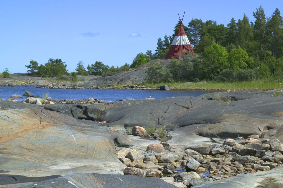
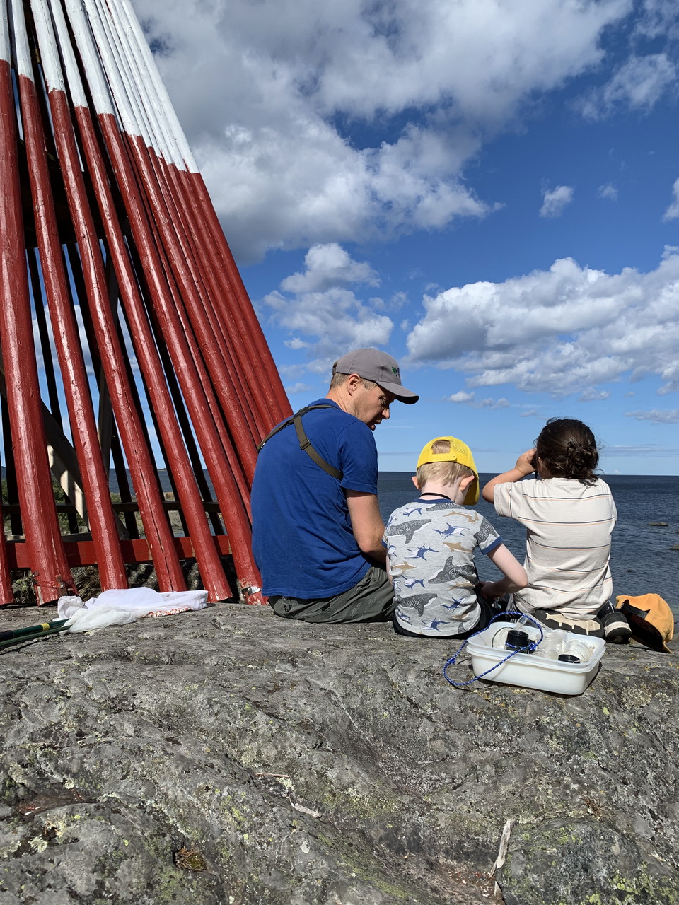
Klubbkasen -
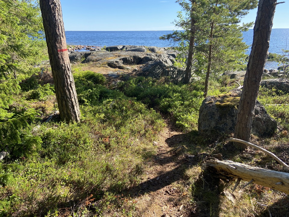
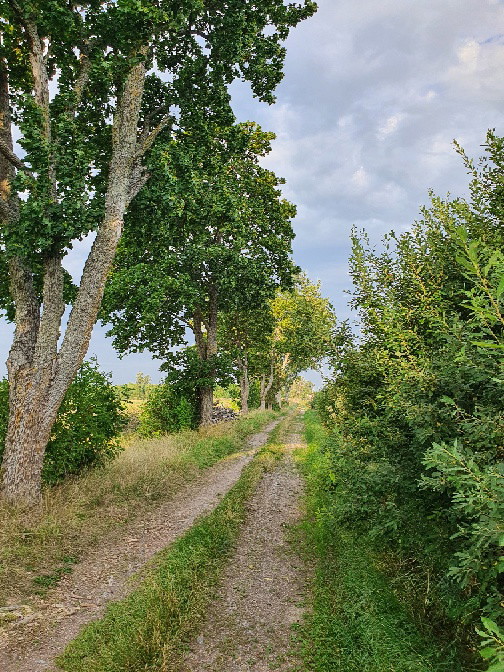
Stig mellan Ängskärs camping och Djuphamnen -
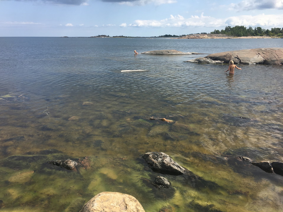
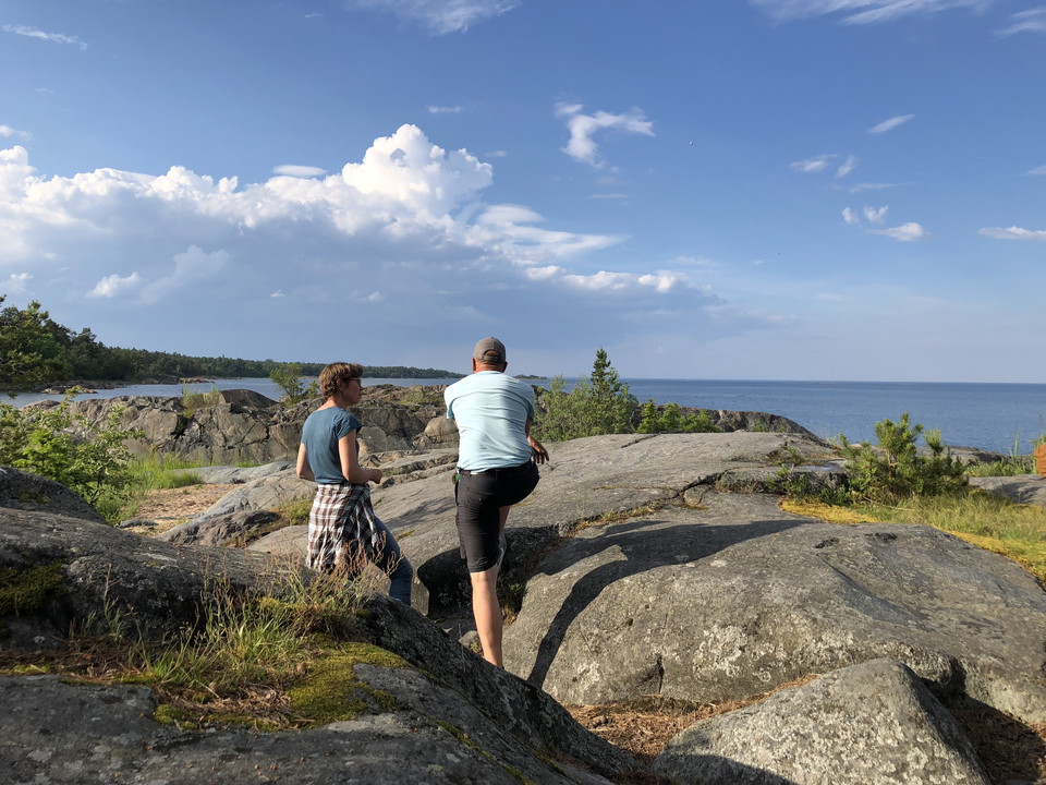
Slåtholmen -
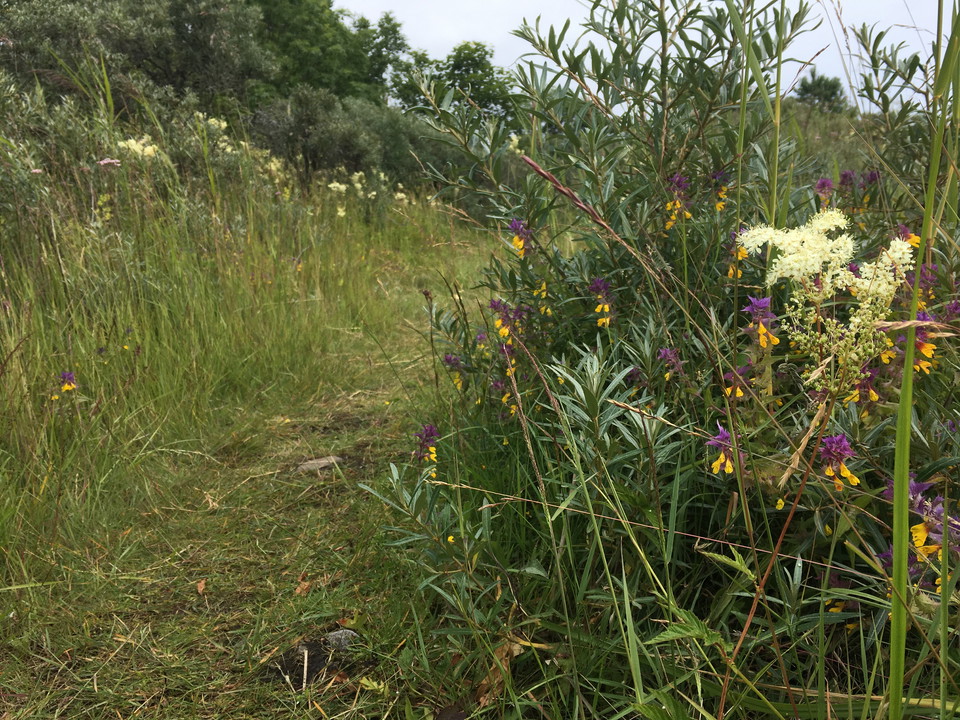
Stig på Slåtholmen -
-
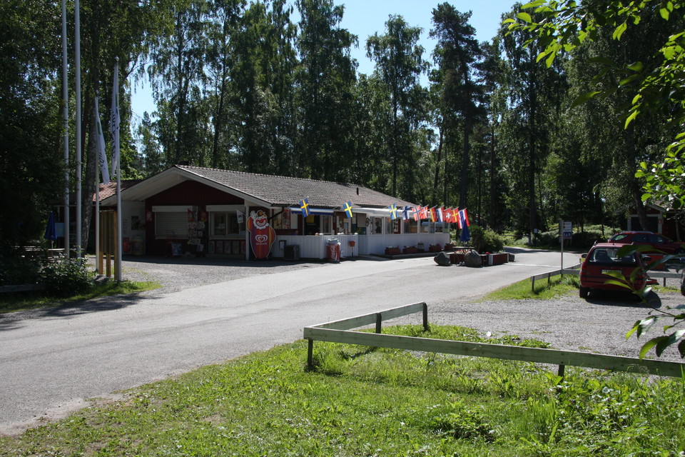
Entrén till Ängskärs camping -
Ängskärs naturreservat
- Nature reserve
- Recreation area
- Near parking
- County: Uppsala län
Actions
Description
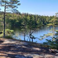
Rock pool or sandy beach? Nature or culture? Lazy days at the campsite or long walks? There is plenty to choose from in Ängskär Nature Reserve. The cliffs at Slåtholmen in the southern part are so numerous that everyone can have their own little rock to lie on. If you have small children with you, there is a shallow beach at the campsite. A 1 km trail runs from the campsite, past the swimming pool and the beautiful cliffs. It also passes two picnic areas with fireplaces.
Klubben is the name of the peninsula that juts out into the sea in Ängskär Nature Reserve. Adjacent to it, separated only by a narrow strait, is the peninsula of Bondskäret, which is a nature reserve in its own right. From Ängskär's campsite, a 1.5 km long path leads over rocks and through the forest to Djuphamnen at the far end of Klubben. From Djuphamnen there is a trail, also 1.5 km long, which takes you past the sea mark Klubbkasen. From the old iron warehouse in the village of Ängskär, you can walk out to the flower-rich pastures of Bondskär.
To get to Djuphamnen at Klubben, drive past Ängskär's campsite and continue along the road. Parking is available just before the harbor.
Bondskäret is best reached by starting from Magasinet.
Services: marked paths, fireplaces, parking, WC at the campsite/bath. On the northern part of Klubben there is a guest harbor and a small seasonal campsite and at Slåtholmsviken is Ängskärs havscamping.
Activities And Facilities
- Nature reserve
- Recreation area
Accessibility
- Near parking
Facts
Trustee: Upplandsstiftelsen
Communications
There is no bus to Ängskär.
Directions
Ängskär Nature Reserve is located on the coast, just over 1.5 miles east of Skärplinge.
By car: From Skärplinge there are signs to Ängskärs camping. To get to Slåtholmen and the swimming area there, park at the campsite. To get to Klubben, continue past the campsite and park near the harbor.
Contact
Email address
Upplandsstiftelsen
Organization logotype

Please be aware that some of these texts have been automatically translated.
I’ve been here 26




I want to go here 24

Questions & Answers
Ask a question to other Naturkartan users.
Reviews
3 reviews
- 5 :
- 4 :
- 3 :
- 2 :
- 1 :
Users images
No user images yet. Be the first to share!

Lugnet framför allt